Oakworth in the Domesday Book (1086)
The settlement of Oakworth is recorded in William I’s Domesday survey of 1086, entered under the hundred of Craven in Yorkshire. The survey assessed Oakworth at 0.1 carucates of taxable land.
At the time of the survey, Oakworth supported a recorded population of 3 slaves.
The survey records Oakworth’s value at 1d in 1086. No pre-Conquest figure survives – not unusual in the North, where records were disrupted by the Harrying and by the patchy coverage of the survey.
Resources Recorded at Oakworth (1086)
- Sheep: 15
Other Settlements in Craven
- Addingham
- Airton
- Anley
- Appletreewick
- Arncliffe
- Arnford
- Barnoldswick
- Bashall [Eaves]
- Battersby [Barn]
- Beamsley
- Birkby [Hall]
- Bogeuurde
- Bolton [Abbey]
- Bolton [by Bowland]
The Meaning of the Name
The name Oakworth is of Anglo-Saxon origin. Its final element derives from the Old English word worð, an enclosure or homestead, while the first element appears to represent oak. Taken together the name probably meant something close to ’the oak enclosure’.
Remarkably, the name has changed little since 1086, when the Domesday scribes wrote it as Oakworth.
Listed Buildings Near Oakworth
Historic England records 36 listed buildings within about a mile of Oakworth. Listing protects structures of special architectural or historic interest, graded I (exceptional), II* (particularly important) and II.
Grade II
- Vale Mills (Oldest Part Only) - 0.26 km
- Oakworth Railway Station - 0.34 km
- Gatepiers and Gates With Flanking Wall and 9 Piers to Left and Same to Right - 0.36 km
- Gatepiers to Holden Park With Flanking Wall, 4 Piers and Gateway to Left and 5 Piers and 3 Gatepiers to Right - 0.37 km
- Oakworth Hall (Now Incorporates Numbers 69 and 71) - 0.47 km
- Clough House Farmhouse - 0.53 km
- Milepost on North Side of Junction With Apsley Road - 0.54 km
- Christ Church - 0.62 km
- 14-20, Colne Road - 0.67 km
- Bar House - 0.75 km
- 1-47, Bridge Street - 0.77 km
- Ebor Mill - 0.89 km
- 120-124, Commercial Street - 0.9 km
- Bridge (at Ebor Mill) - 0.9 km
- Spring Head House and Spring Head Cottage - 0.91 km
- 4-8, Ebor Lane - 0.92 km
- 6 and 8, Vale Lane Top - 0.96 km
- 15, 17 and 19 Haworth Road - 1.01 km
- Ebor House - 1.01 km
- Plaque in garden wall of Ebor House at junction of Ebor Lane and Lees Lane - 1.03 km
- 23 Haworth Road - 1.05 km
- Lees Farm - 1.07 km
- Methodist Church - 1.09 km
- Milepost - 1.15 km
…and 12 more listed structures in the area.
Oakworth Today
Today Oakworth lies within the administrative area of Keighley.
Read more about modern Oakworth on Wikipedia .
Nearby Domesday Settlements
Other places recorded in the 1086 survey within a few miles:
Heritage Around Oakworth
Photographs of churches, listed buildings and monuments in the vicinity, contributed by volunteers to the Geograph project and reused here under a Creative Commons licence.
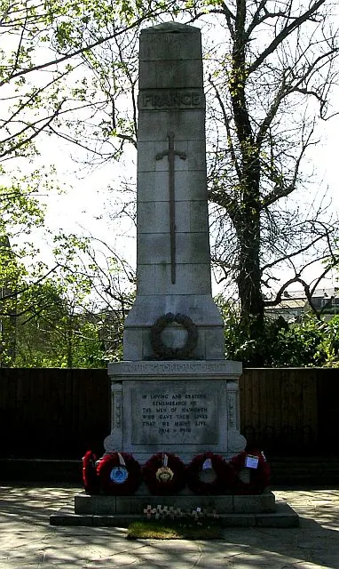
© Betty Longbottom · Geograph · CC BY-SA 2.0
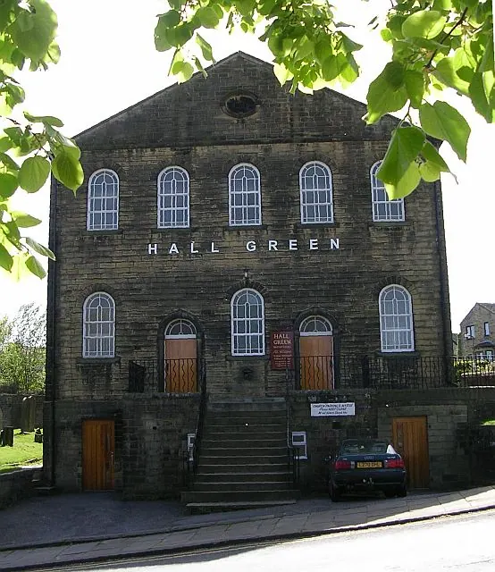
© Betty Longbottom · Geograph · CC BY-SA 2.0
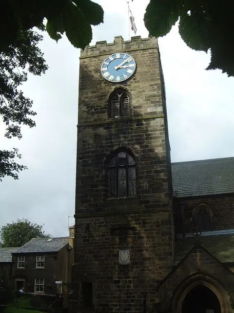
© Frank Glover · Geograph · CC BY-SA 2.0
Images © their respective photographers, licensed under CC BY-SA 2.0 and reused here with attribution. Photographs depict listed buildings, churches and monuments near this settlement and may show neighbouring villages.
Data derived from the Open Domesday project (opendomesday.org), based on the Domesday Book dataset compiled by Professor J.J.N. Palmer and team. The Domesday Book (1086) is in the public domain.
Found an inaccuracy? [email protected]