Oakthorpe in the Domesday Book (1086)
Oakthorpe is named in the Domesday Book, compiled by Norman commissioners in 1086, entered under the hundred of Goscote in LEC. The survey assessed Oakthorpe at 9 carucates of taxable land.
Most significantly, Oakthorpe is recorded as waste in 1086 - land rendered uninhabitable and valueless. Before the Conquest, the settlement had been assessed at 1 shilling; by 1086 that value had collapsed entirely. This pattern - prosperity before 1066, devastation by 1086 - is the unmistakable signature of the Harrying of the North , William I’s campaign of systematic destruction across Yorkshire in 1069–70.
Other Settlements in Goscote
- Allexton
- Alton
- Anstey
- Appleby
- Appleby [Parva]
- Asfordby
- Ashby [-de-la-Zouch]
- Ashby [Folville]
- Barkby
- Barrow [-upon-Soar]
- Barsby
- Beeby
- Belgrave
- Birstall
The Meaning of the Name
The name Oakthorpe is of Scandinavian origin. Its final element derives from the Old Norse word þorp, an outlying or secondary farmstead, while the first element appears to represent oak. Taken together the name probably meant something close to ’the oak outlying farm’.
Names of this type are a fingerprint of Scandinavian settlement: they cluster across the old Danelaw, where Norse-speaking settlers renamed or founded villages from the late 9th century onward.
Remarkably, the name has changed little since 1086, when the Domesday scribes wrote it as Oakthorpe.
Listed Buildings Near Oakthorpe
Historic England records 6 listed buildings within about a mile of Oakthorpe. Listing protects structures of special architectural or historic interest, graded I (exceptional), II* (particularly important) and II.
Grade II
- 2, Coronation Lane - 0.68 km
- Donisthorpe Hall - 1.07 km
- Donisthorpe War Memorial Gateway - 1.08 km
- Church of St John the Evangelist - 1.22 km
- The Vicarage - 1.25 km
- Meer Bridge - 1.25 km
Oakthorpe Today
Today Oakthorpe lies within the administrative area of Oakthorpe, Donisthorpe and Acresford.
Read more about modern Oakthorpe on Wikipedia .
Nearby Domesday Settlements
Other places recorded in the 1086 survey within a few miles:
- Donisthorpe - 1.4 km NW
- Measham - 1.4 km SE
- Willesley - 2.2 km NE
- Stretton -en-le-Field - 2.8 km SW
- Nether or Over Seal - 4.0 km W
- Appleby Magna - 4.1 km S
Heritage Around Oakthorpe
Photographs of churches, listed buildings and monuments in the vicinity, contributed by volunteers to the Geograph project and reused here under a Creative Commons licence.
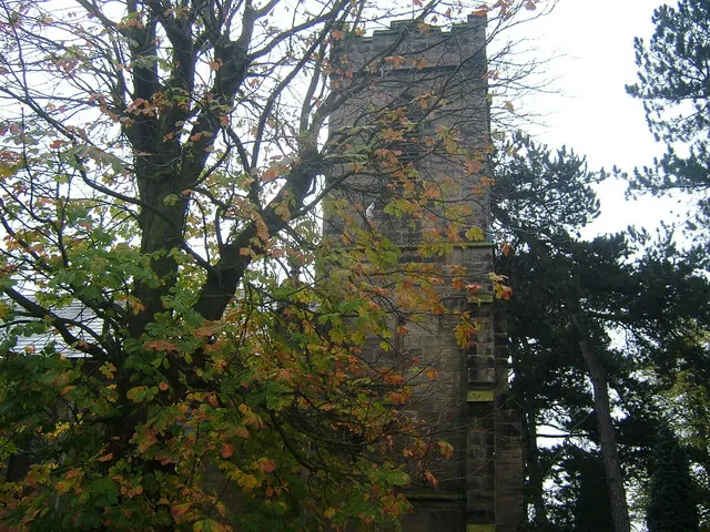
© cris sloan · Geograph · CC BY-SA 2.0
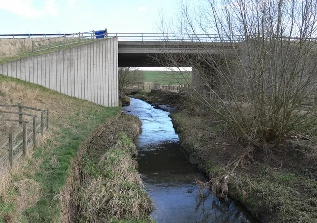
© Mat Fascione · Geograph · CC BY-SA 2.0
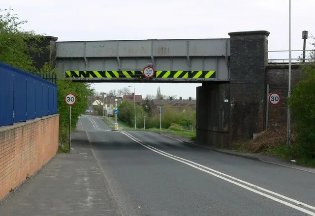
© Mat Fascione · Geograph · CC BY-SA 2.0
Images © their respective photographers, licensed under CC BY-SA 2.0 and reused here with attribution. Photographs depict listed buildings, churches and monuments near this settlement and may show neighbouring villages.
Data derived from the Open Domesday project (opendomesday.org), based on the Domesday Book dataset compiled by Professor J.J.N. Palmer and team. The Domesday Book (1086) is in the public domain.
Found an inaccuracy? [email protected]