Nunkeeling in the Domesday Book (1086)
Nunkeeling appears in the Domesday Book of 1086, entered under the hundred of Holderness [North Hundred] in Yorkshire. The survey assessed Nunkeeling at 2.6 carucates of taxable land.
At the time of the survey, Nunkeeling supported a recorded population of 9 villagers, 21 smallholders, 2 slaves, working 10 ploughs between them.
By 1086 Nunkeeling was worth 12 shillings, up from 10 shillings before the Conquest – one of the few settlements in the area to hold its value through the upheaval.
The survey lists 3 manors at Nunkeeling under different lords. Splitting a single settlement between multiple tenants was common across the North – Saxon estates broken up and handed to William’s followers after 1066.
Resources Recorded at Nunkeeling (1086)
- Mills: 1 mill
- Cattle: 15
- Pigs: 50
- Sheep: 70
- Horses (cobs): 1
- Meadow: 70 acres
- Woodland: 120 pigs
Other Settlements in Holderness [North Hundred]
- Arnestorp
- Arram
- Barmston
- Beeford
- Bewholme
- Brandesburton
- Catfoss [Hall]
- Catwick
- Chenecol
- Chenucol
- Chenuthesholm
- Cleeton
- Dringhoe
- Dunnington
The Meaning of the Name
The origin of the name Nunkeeling is not securely established from its modern form alone; like many settlement names in the North it likely combines an Old English or Old Norse personal name with a landscape term.
Remarkably, the name has changed little since 1086, when the Domesday scribes wrote it as Nunkeeling.
Listed Buildings Near Nunkeeling
Historic England records 2 listed buildings within about a mile of Nunkeeling. Listing protects structures of special architectural or historic interest, graded I (exceptional), II* (particularly important) and II.
Grade II
- Church of Saint Mary Magdalene and Saint Helena - 0.33 km
- Wayside Cross - 0.53 km
Scheduled Monuments Near Nunkeeling
Scheduled monuments are nationally important archaeological sites given legal protection. 1 lies within roughly a mile of Nunkeeling:
- Moated grange at Moor Grange - 1.05 km
Nunkeeling Today
Today Nunkeeling lies within the administrative area of Bewholme.
Read more about modern Nunkeeling on Wikipedia .
Nearby Domesday Settlements
Other places recorded in the 1086 survey within a few miles:
- Bewholme - 2.0 km E
- Arram - 2.2 km SE
- Dunnington - 2.2 km NE
- Upton - 4.0 km N
- Catfoss Hall - 4.0 km S
- Brandesburton - 4.2 km SW
Heritage Around [Nun]keeling
Photographs of churches, listed buildings and monuments in the vicinity, contributed by volunteers to the Geograph project and reused here under a Creative Commons licence.
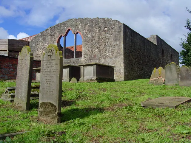
© Paul Harrop · Geograph · CC BY-SA 2.0
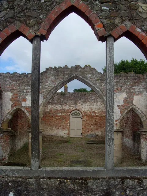
© Paul Harrop · Geograph · CC BY-SA 2.0
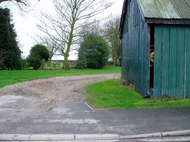
© Darren Haddock · Geograph · CC BY-SA 2.0
Images © their respective photographers, licensed under CC BY-SA 2.0 and reused here with attribution. Photographs depict listed buildings, churches and monuments near this settlement and may show neighbouring villages.
Location
53.9377°N, -0.2556°W · Holderness [North Hundred] hundred, Yorkshire
View larger map on OpenStreetMap →Data derived from the Open Domesday project (opendomesday.org), based on the Domesday Book dataset compiled by Professor J.J.N. Palmer and team. The Domesday Book (1086) is in the public domain.
Found an inaccuracy? [email protected]