Norton le Clay in the Domesday Book (1086)
The 1086 Domesday survey records the settlement of Norton le Clay, entered under the hundred of Hallikeld in Yorkshire.
Other Settlements in Hallikeld
- Brampton [Hall]
- Caldeuuelle
- Cundall
- Dishforth
- Ellenthorpe [Hall]
- Givendale
- Hashundebi
- Holme
- Howgrave
- Hutton [Conyers]
- Kirby [Hill]
- Leckby [Palace]
- Markington
- Milby
The Meaning of the Name
The name Norton le Clay is of Anglo-Saxon origin. Its final element derives from the Old English word tūn, a farmstead or village, while the first element appears to represent the northern. Taken together the name probably meant something close to ’the northern farmstead’.
Remarkably, the name has changed little since 1086, when the Domesday scribes wrote it as Norton le Clay.
Listed Buildings Near Norton le Clay
Historic England records 1 listed building within about a mile of Norton le Clay. Listing protects structures of special architectural or historic interest, graded I (exceptional), II* (particularly important) and II.
Grade II
- Norton Le Clay Farm Cottage - 0.47 km
Norton le Clay Today
Today Norton le Clay lies within the administrative area of Harrogate, and the settlement recorded a population of 437 at the 2021 census. Nine and a half centuries separate that figure from the small rural community the Domesday survey recorded here in 1086.
Read more about modern Norton-le-Clay on Wikipedia .
Nearby Domesday Settlements
Other places recorded in the 1086 survey within a few miles:
- Cundall - 2.2 km NE
- Crakehill - 2.8 km NE
- Dishforth - 2.8 km NW
- Thornton Bridge - 3.0 km E
- Caldeuuelle - 3.2 km W
- Brafferton - 3.2 km E
Heritage Around Norton [le Clay]
Photographs of churches, listed buildings and monuments in the vicinity, contributed by volunteers to the Geograph project and reused here under a Creative Commons licence.
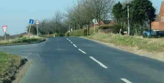
© Toby Speight · Geograph · CC BY-SA 2.0
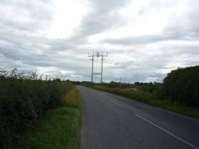
© DS Pugh · Geograph · CC BY-SA 2.0
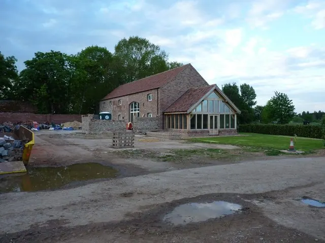
© Richard Law · Geograph · CC BY-SA 2.0
Images © their respective photographers, licensed under CC BY-SA 2.0 and reused here with attribution. Photographs depict listed buildings, churches and monuments near this settlement and may show neighbouring villages.
Data derived from the Open Domesday project (opendomesday.org), based on the Domesday Book dataset compiled by Professor J.J.N. Palmer and team. The Domesday Book (1086) is in the public domain.
Found an inaccuracy? [email protected]