Norton and Little Norton in the Domesday Book (1086)
The settlement of Norton and Little Norton is recorded in William I’s Domesday survey of 1086, entered under the hundred of Scarsdale in Derbyshire.
Other Settlements in Scarsdale
- Alfreton
- Ashover
- Barlborough
- Barlow
- Beighton
- Blingsby
- Bolsover
- Boythorpe
- Bramley [Vale]
- Brimington
- Calow
- Chesterfield
- Clowne
- Dore
The Meaning of the Name
The name Norton and Little Norton is of Anglo-Saxon origin. Its final element derives from the Old English word tūn, a farmstead or village, while the first element appears to represent the northern. Taken together the name probably meant something close to ’the northern farmstead’.
Remarkably, the name has changed little since 1086, when the Domesday scribes wrote it as Norton and Little Norton.
Listed Buildings Near Norton and Little Norton
Historic England records 30 listed buildings within about a mile of Norton and Little Norton. Listing protects structures of special architectural or historic interest, graded I (exceptional), II* (particularly important) and II.
Grade II*
- Norton Hall Hospital With Colonnade and Orangery - 0.36 km
- Church of St James the Great - 0.41 km
- Gateway and Adjoining Walls at Garden Entrance to Oaks Park - 1.01 km
Grade II
- Lodge Gates and Boundary Wall at North Entrance to Graves Park - 0.32 km
- Stable block 200 metres north east of Norton Hall - 0.35 km
- Bolehill Farmhouse and Attached Outbuildings - 0.37 km
- Norton Hall Farm - 0.37 km
- The Poplars - 0.38 km
- Tomb of Sir Francis Chantrey 5 Metres South West of Church of St James - 0.4 km
- Preaching Cross 15 Metres South of Church of St James - 0.42 km
- Norton Grange and Adjoining Wash House, Stable and Boundary Wall - 0.42 km
- Norton War Memorial - 0.46 km
- Old Rectory - 0.47 km
- Memorial obelisk at junction of Norton Lane - 0.49 km
- Chantry Cottage - 0.54 km
- Lodge at Norton Nursery - 0.57 km
- West Entrance Lodge, Screen Walls and Gateway at Oaks Park - 0.73 km
- Chantrey Cottage Chantrey House - 0.74 km
- The Post Office House - 0.8 km
- School House - 0.81 km
- The Grooms Cottage - 0.82 km
- Jordanthorpe House - 0.9 km
- Jordanthorpe Hall Farmhouse - 0.9 km
- Chantrey House - 0.95 km
…and 6 more listed structures in the area.
Scheduled Monuments Near Norton and Little Norton
Scheduled monuments are nationally important archaeological sites given legal protection. 1 lies within roughly a mile of Norton and Little Norton:
Norton and Little Norton Today
Today Norton and Little Norton lies within the administrative area of Sheffield.
Read more about modern Norton on Wikipedia .
Nearby Domesday Settlements
Other places recorded in the 1086 survey within a few miles:
Heritage Around Norton and [Little] Norton
Photographs of churches, listed buildings and monuments in the vicinity, contributed by volunteers to the Geograph project and reused here under a Creative Commons licence.
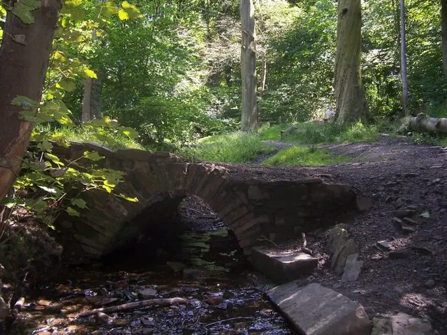
© Martin Speck · Geograph · CC BY-SA 2.0
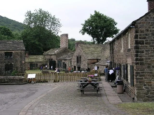
© Alan Fleming · Geograph · CC BY-SA 2.0
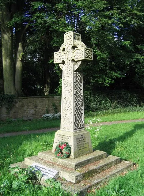
© Graham Hardy · Geograph · CC BY-SA 2.0
Images © their respective photographers, licensed under CC BY-SA 2.0 and reused here with attribution. Photographs depict listed buildings, churches and monuments near this settlement and may show neighbouring villages.
Data derived from the Open Domesday project (opendomesday.org), based on the Domesday Book dataset compiled by Professor J.J.N. Palmer and team. The Domesday Book (1086) is in the public domain.
Found an inaccuracy? [email protected]