Northowram in the Domesday Book (1086)
Northowram appears in the Domesday Book of 1086, entered under the hundred of Morley in Yorkshire.
Other Settlements in Morley
- Allerton
- Armley
- Batley
- Beeston
- Bolton
- Bowling
- Bradford
- Bramley
- Calverley
- Carlton
- Chellow [Grange]
- Clayton
- Clifton
- Cruttonstall
The Meaning of the Name
The origin of the name Northowram is not securely established from its modern form alone; like many settlement names in the North it likely combines an Old English or Old Norse personal name with a landscape term.
Remarkably, the name has changed little since 1086, when the Domesday scribes wrote it as Northowram.
Listed Buildings Near Northowram
Historic England records 45 listed buildings within about a mile of Northowram. Listing protects structures of special architectural or historic interest, graded I (exceptional), II* (particularly important) and II.
Grade II*
- 34 and 36 Staups Lane - 0.97 km
Grade II
- Church of St Matthew - 0.53 km
- Northowram United Reformed Church - 0.55 km
- 17 and 19, Town Gate - 0.57 km
- 15, Town Gate - 0.58 km
- Shoulder of Mutton Public House, including the former Priestley Hall - 0.59 km
- 31, Town Gate - 0.63 km
- Tudor House - 0.7 km
- 8 and 9, Tetley Lane - 0.7 km
- Hillway House - 0.72 km
- Sowood House - 0.78 km
- Baxter Farmhouse - 0.81 km
- Cinder Hill - 0.81 km
- Boundary Stone at Ngr Se 123 269 - 0.89 km
- Mytholme Farmhouse - 0.9 km
- Barn to West of Numbers 19 and 20 - 0.95 km
- 18-20, Towngate - 0.96 km
- Archway in South Garden Wall of Numbers 18-20 - 0.97 km
- Church of St John - 0.99 km
- Ryders Court - 0.99 km
- 16 and 17, Towngate - 0.99 km
- Hargreaves Head - 1.0 km
- Thornhill House - 1.02 km
- Cottage and Attched Barn to North East of Hargreaves Head - 1.03 km
…and 21 more listed structures in the area.
Scheduled Monuments Near Northowram
Scheduled monuments are nationally important archaeological sites given legal protection. 2 lie within roughly a mile of Northowram:
- Magna Via - 1.25 km
- Ventilation chimney and furnace house 260m south of Park Farm - 1.57 km
Northowram Today
Today Northowram lies within the administrative area of unparished part of Calderdale.
Read more about modern Northowram on Wikipedia .
Nearby Domesday Settlements
Other places recorded in the 1086 survey within a few miles:
- Hipperholme - 1.4 km SE
- Shelf - 2.2 km NE
- Southowram - 3.0 km S
- Wyke - 4.1 km E
- Elland - 5.1 km S
- Rastrick - 5.4 km S
Heritage Around [North]owram
Photographs of churches, listed buildings and monuments in the vicinity, contributed by volunteers to the Geograph project and reused here under a Creative Commons licence.
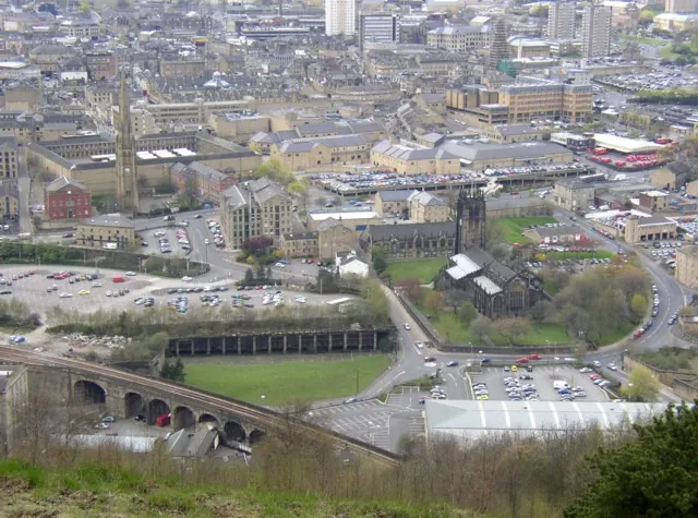
© Humphrey Bolton · Geograph · CC BY-SA 2.0
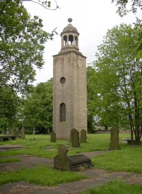
© Humphrey Bolton · Geograph · CC BY-SA 2.0
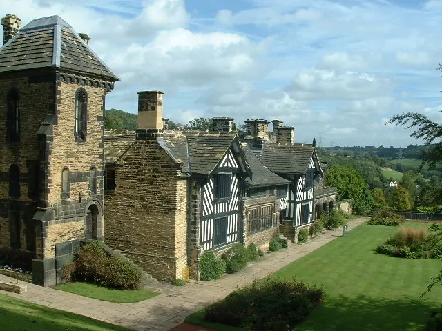
© Nigel Homer · Geograph · CC BY-SA 2.0
Images © their respective photographers, licensed under CC BY-SA 2.0 and reused here with attribution. Photographs depict listed buildings, churches and monuments near this settlement and may show neighbouring villages.
Data derived from the Open Domesday project (opendomesday.org), based on the Domesday Book dataset compiled by Professor J.J.N. Palmer and team. The Domesday Book (1086) is in the public domain.
Found an inaccuracy? [email protected]