Northorpe in the Domesday Book (1086)
Northorpe appears in the Domesday Book of 1086, entered under the hundred of Holderness [South Hundred] in Yorkshire. The survey assessed Northorpe at 1 carucate of taxable land.
The numbers record a sharp fall. Before 1066, Northorpe was worth 6d; by 1086 that had dropped to 2d – a fall of 66%. Most Yorkshire villages that lost value on this scale were swept up in the Harrying of the North – William’s scorched-earth campaign of 1069–70.
Other Settlements in Holderness [South Hundred]
- Andrebi
- Burstwick
- Camerton [Hall]
- Dimlington
- Easington
- Grimston
- Halsham
- Hilston
- Hollym
- Holmpton
- Keyingham
- Kilnsea
- Monkwith
- Newton [Garth]
The Meaning of the Name
The name Northorpe is of Scandinavian origin. Its final element derives from the Old Norse word þorp, an outlying or secondary farmstead, while the first element appears to represent the northern. Taken together the name probably meant something close to ’the northern outlying farm’.
Names of this type are a fingerprint of Scandinavian settlement: they cluster across the old Danelaw, where Norse-speaking settlers renamed or founded villages from the late 9th century onward.
Remarkably, the name has changed little since 1086, when the Domesday scribes wrote it as Northorpe.
Nearby Domesday Settlements
Other places recorded in the 1086 survey within a few miles:
- Kilnsea - 1.4 km NW
- Easington - 6.4 km NW
- Dimlington - 7.2 km NW
- Out Newton - 8.6 km NW
- Weeton - 10.0 km NW
- Rysome Garth - 10.6 km NW
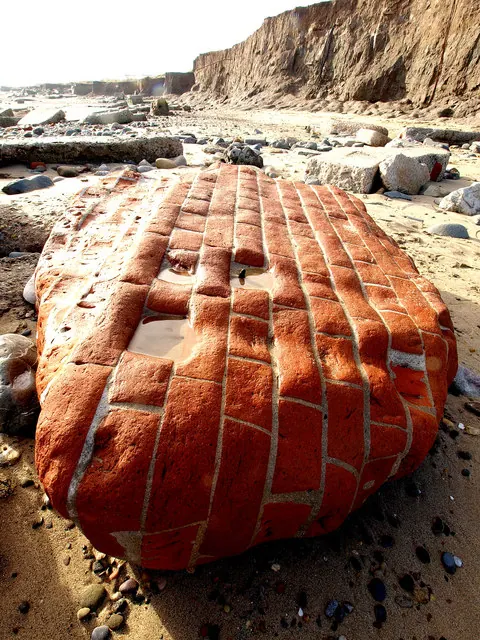
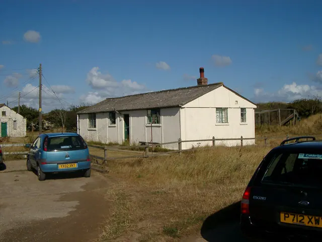
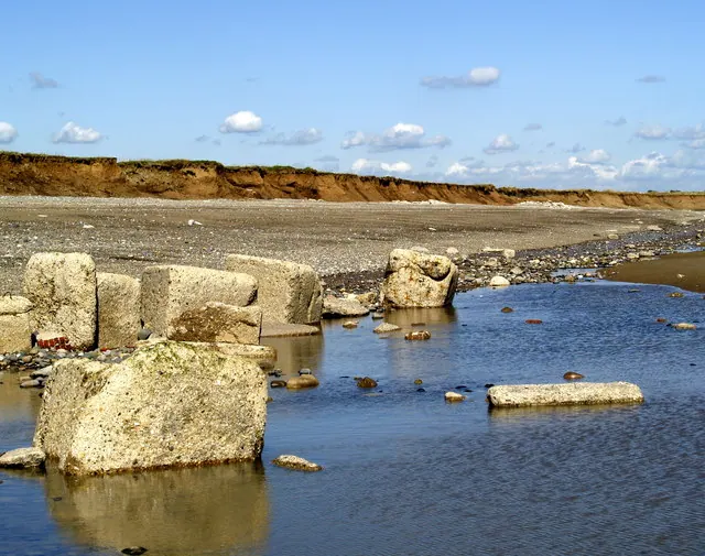
Heritage Around [Nor]thorpe
Photographs of churches, listed buildings and monuments in the vicinity, contributed by volunteers to the Geograph project and reused here under a Creative Commons licence.
© Andy Beecroft · Geograph · CC BY-SA 2.0
© Hugh Venables · Geograph · CC BY-SA 2.0
© Andy Beecroft · Geograph · CC BY-SA 2.0
Images © their respective photographers, licensed under CC BY-SA 2.0 and reused here with attribution. Photographs depict listed buildings, churches and monuments near this settlement and may show neighbouring villages.
Location
53.6071°N, 0.1692°E · Holderness [South Hundred] hundred, Yorkshire
View larger map on OpenStreetMap →Data derived from the Open Domesday project (opendomesday.org), based on the Domesday Book dataset compiled by Professor J.J.N. Palmer and team. The Domesday Book (1086) is in the public domain.
Found an inaccuracy? [email protected]