Northallerton in the Domesday Book (1086)
The 1086 Domesday survey records the settlement of Northallerton, entered under the hundred of Allerton in Yorkshire. The survey assessed Northallerton at 50.8 carucates of taxable land.
At the time of the survey, Northallerton supported a recorded population of 14 villagers, 7 smallholders, 10 freemanmen, working 10 ploughs between them.
The drop in value is hard to miss. Before 1066, Northallerton was worth 56 shillings; by 1086 that had dropped to 6 shillings – a fall of 89%. Most Yorkshire villages that lost value on this scale were swept up in the Harrying of the North – William’s scorched-earth campaign of 1069–70.
Resources Recorded at Northallerton (1086)
- Meadow: 100 acres
Other Settlements in Allerton
- Ainderby [Steeple]
- Appleton [Wiske]
- Arncliffe [Hall]
- Birkby
- Borrowby
- Brompton
- Cowesby
- Crosby [Grange]
- Dale [Town]
- Deighton
- Ellerbeck
- Foxton
- Girsby
- Hawnby
The Meaning of the Name
The name Northallerton is of Anglo-Saxon origin. Its final element derives from the Old English word tūn, a farmstead or village, while the first element appears to represent the northern. Taken together the name probably meant something close to ’the northern farmstead’.
Remarkably, the name has changed little since 1086, when the Domesday scribes wrote it as Northallerton.
Listed Buildings Near Northallerton
Historic England records 73 listed buildings within about a mile of Northallerton. Listing protects structures of special architectural or historic interest, graded I (exceptional), II* (particularly important) and II.
Grade II*
- County Hall - 0.29 km
Grade II
- Railway Hotel - 0.24 km
- 145, High Street - 0.36 km
- The Nags Head - 0.37 km
- Zion Sunday School - 0.39 km
- 139, High Street - 0.39 km
- Old Theatre - 0.41 km
- 171 and 172, High Street - 0.41 km
- 173, High Street - 0.42 km
- 174, High Street - 0.42 km
- Zion United Reformed Church - 0.42 km
- Newton House - 0.43 km
- Harewood Arms Inn - 0.45 km
- 185, High Street - 0.46 km
- 184, High Street - 0.46 km
- 186 and 187, High Street - 0.47 km
- 188, High Street - 0.47 km
- 189A, High Street - 0.49 km
- The Golden Lion - 0.51 km
- Rear Wing Behind Number 115 - 0.52 km
- 109, High Street - 0.52 km
- Register House - 0.53 km
- 107 and 108, High Street - 0.53 km
- 199, High Street - 0.53 km
…and 49 more listed structures in the area.
Scheduled Monuments Near Northallerton
Scheduled monuments are nationally important archaeological sites given legal protection. 1 lies within roughly a mile of Northallerton:
Northallerton Today
Today Northallerton lies within the administrative area of Hambleton, and the settlement recorded a population of 10,978 at the 2021 census. Nine and a half centuries separate that figure from the small rural community the Domesday survey recorded here in 1086.
Read more about modern Northallerton on Wikipedia .
Nearby Domesday Settlements
Other places recorded in the 1086 survey within a few miles:
- Romanby - 1.0 km W
- Yafforth - 2.2 km NW
- Newsham Grange - 2.8 km NE
- Westhouse - 2.8 km NE
- Warlaby - 2.8 km SW
- Ainderby Steeple - 3.2 km W
Heritage Around [North]allerton
Photographs of churches, listed buildings and monuments in the vicinity, contributed by volunteers to the Geograph project and reused here under a Creative Commons licence.
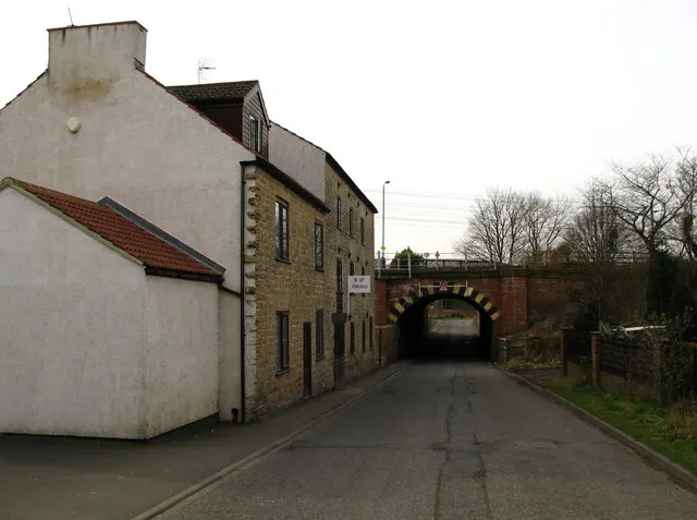
© David Rogers · Geograph · CC BY-SA 2.0
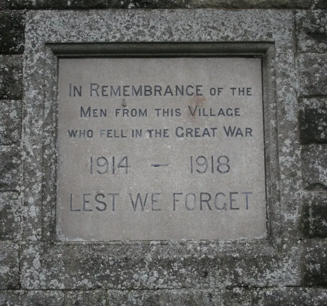
© Bob Embleton · Geograph · CC BY-SA 2.0
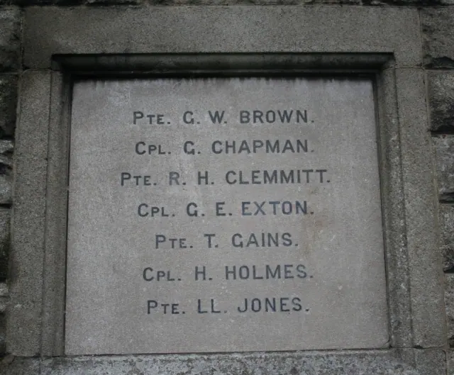
© Bob Embleton · Geograph · CC BY-SA 2.0
Images © their respective photographers, licensed under CC BY-SA 2.0 and reused here with attribution. Photographs depict listed buildings, churches and monuments near this settlement and may show neighbouring villages.
Data derived from the Open Domesday project (opendomesday.org), based on the Domesday Book dataset compiled by Professor J.J.N. Palmer and team. The Domesday Book (1086) is in the public domain.
Found an inaccuracy? [email protected]