North Stainley in the Domesday Book (1086)
North Stainley appears in the Domesday Book of 1086, entered under the hundred of Hallikeld in Yorkshire. The survey assessed North Stainley at 10 carucates of taxable land.
At the time of the survey, North Stainley supported a recorded population of 18 villagers, 4 smallholders, 8 slaves, working 18 ploughs between them.
The numbers record a sharp fall. Before 1066, North Stainley was worth 12 shillings; by 1086 that had dropped to 7 shillings – a fall of 41%. Most Yorkshire villages that lost value on this scale were swept up in the Harrying of the North – William’s scorched-earth campaign of 1069–70.
Resources Recorded at North Stainley (1086)
- Mills: 2 mills (valued at 15d)
Other Settlements in Hallikeld
- Brampton [Hall]
- Caldeuuelle
- Cundall
- Dishforth
- Ellenthorpe [Hall]
- Givendale
- Hashundebi
- Holme
- Howgrave
- Hutton [Conyers]
- Kirby [Hill]
- Leckby [Palace]
- Markington
- Milby
The Meaning of the Name
The name North Stainley is of Anglo-Saxon origin. Its final element derives from the Old English word lēah, a woodland clearing or glade, while the first element appears to represent stone (ON steinn). Taken together the name probably meant something close to ’the stone clearing’.
Remarkably, the name has changed little since 1086, when the Domesday scribes wrote it as North Stainley.
Listed Buildings Near North Stainley
Historic England records 13 listed buildings within about a mile of North Stainley. Listing protects structures of special architectural or historic interest, graded I (exceptional), II* (particularly important) and II.
Grade II*
- Stainley Hall - 0.96 km
Grade II
- Sleningford Grange - 0.11 km
- Manor Farmhouse - 0.55 km
- Gate Piers, and Gates and Railings Approximately 300 Metres to South-east of Sleningford Park - 0.8 km
- Gazebo - 0.82 km
- Gatepiers and Gates to Stainley Hall - 0.89 km
- Stables Approximately 50 Metres North-east of Stainley Hall - 0.89 km
- Sleningford Mill - 1.02 km
- Sleningford Park - 1.04 km
- Barn Approximately 150 Metres South of Sleningford Park - 1.09 km
- Friars Hurst - 1.12 km
- Stables Approximately 150 Metres South-west of Sleningford Park - 1.16 km
- Dovecote Approximately 200 Metres South-west of Sleningford Park - 1.18 km
Scheduled Monuments Near North Stainley
Scheduled monuments are nationally important archaeological sites given legal protection. 2 lie within roughly a mile of North Stainley:
- East Tanfield deserted medieval village - 0.6 km
- Round barrow 425m north west of Rushwood Hall - 1.45 km
North Stainley Today
Today North Stainley lies within the administrative area of North Stainley with Sleningford, and the settlement recorded a population of 737 at recent figures. Nine and a half centuries separate that figure from the small rural community the Domesday survey recorded here in 1086.
Read more about modern North Stainley on Wikipedia .
Nearby Domesday Settlements
Other places recorded in the 1086 survey within a few miles:
- East Stainley - 0.0 km N
- East Tanfield - 0.0 km N
- Sleningford - 1.0 km W
- Upsland - 2.8 km NE
- West Tanfield - 2.8 km NW
- Norton Conyers - 3.2 km E
Heritage Around [North] Stainley
Photographs of churches, listed buildings and monuments in the vicinity, contributed by volunteers to the Geograph project and reused here under a Creative Commons licence.
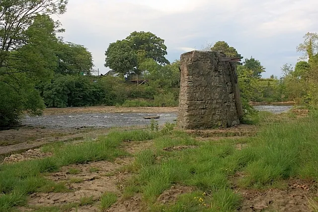
© Mick Garratt · Geograph · CC BY-SA 2.0
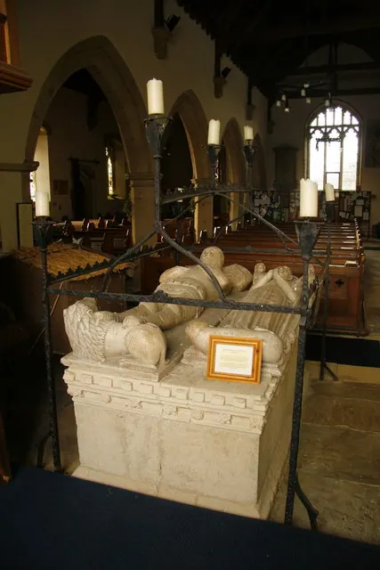
© David Rogers · Geograph · CC BY-SA 2.0
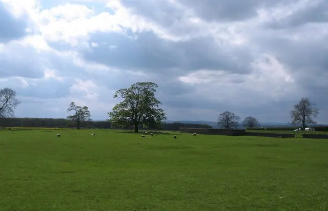
© Gordon Hatton · Geograph · CC BY-SA 2.0
Images © their respective photographers, licensed under CC BY-SA 2.0 and reused here with attribution. Photographs depict listed buildings, churches and monuments near this settlement and may show neighbouring villages.
Data derived from the Open Domesday project (opendomesday.org), based on the Domesday Book dataset compiled by Professor J.J.N. Palmer and team. The Domesday Book (1086) is in the public domain.
Found an inaccuracy? [email protected]