North Rode in the Domesday Book (1086)
The 1086 Domesday survey records the settlement of North Rode, entered under the hundred of Hamestan in Cheshire. The survey assessed North Rode at 2 carucates of taxable land.
At the time of the survey, North Rode supported a recorded population of 13 villagers, working 2 ploughs between them.
The survey puts North Rode’s value at 2 shillings, the same as before the Conquest. Unchanged valuations are relatively rare in the North, where disruption was widespread.
Resources Recorded at North Rode (1086)
- Meadow: 20 acres
Other Settlements in Hamestan
- Adlington
- Bosley
- Bramhall
- Bredbury
- Butley
- Capesthorne
- Cheadle
- Chelford
- Cranage
- Gawsworth
- Henbury
- Hollingworth
- Hungrewenitune
- Kermincham
The Meaning of the Name
The origin of the name North Rode is not securely established from its modern form alone; like many settlement names in the North it likely combines an Old English or Old Norse personal name with a landscape term.
Remarkably, the name has changed little since 1086, when the Domesday scribes wrote it as North Rode.
Listed Buildings Near North Rode
Historic England records 13 listed buildings within about a mile of North Rode. Listing protects structures of special architectural or historic interest, graded I (exceptional), II* (particularly important) and II.
Grade II
- Daintry Hall Preparatory School - 0.3 km
- Church of St Michael - 0.35 km
- Rode Hall Farmhouse - 0.52 km
- Range of Farmbuildings at Rode Hall Farm - 0.55 km
- Cow Bridge - 0.76 km
- Garden Ornament C.15 Yards South of North Rode Manor - 0.84 km
- Colley Mill Bridge - 0.86 km
- The Manor - 0.87 km
- Colley Mill House - 0.88 km
- Stables at North Rode Manor - 0.9 km
- Macclesfield Canal Bridge Number 63 at Sj 8854 6521 - 1.21 km
- Congleton Viaduct - 1.27 km
- Macclesfield Canal Distance Marker at Sj 8885 6520 - 1.29 km
Scheduled Monuments Near North Rode
Scheduled monuments are nationally important archaeological sites given legal protection. 1 lies within roughly a mile of North Rode:
- Crossley Bridge or Colleymill Bridge - 0.85 km
North Rode Today
Today North Rode lies within the administrative area of Cheshire East, and the settlement recorded a population of 268 at the 2021 census. Nine and a half centuries separate that figure from the small rural community the Domesday survey recorded here in 1086.
Read more about modern North Rode on Wikipedia .
Nearby Domesday Settlements
Other places recorded in the 1086 survey within a few miles:
- Gawsworth - 3.0 km N
- Bosley - 3.2 km E
- Church Lawton and Buglawton - 3.2 km S
- Marton - 4.5 km NW
- Congleton - 4.5 km SW
- Somerford Booths - 5.1 km W
Heritage Around [North] Rode
Photographs of churches, listed buildings and monuments in the vicinity, contributed by volunteers to the Geograph project and reused here under a Creative Commons licence.
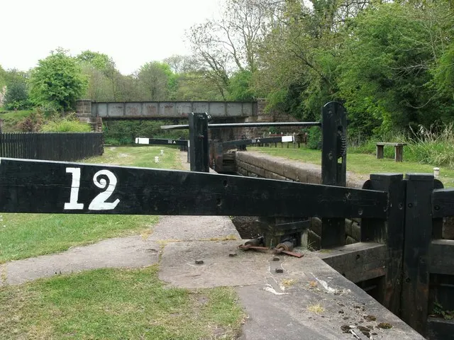
© Raymond Knapman · Geograph · CC BY-SA 2.0
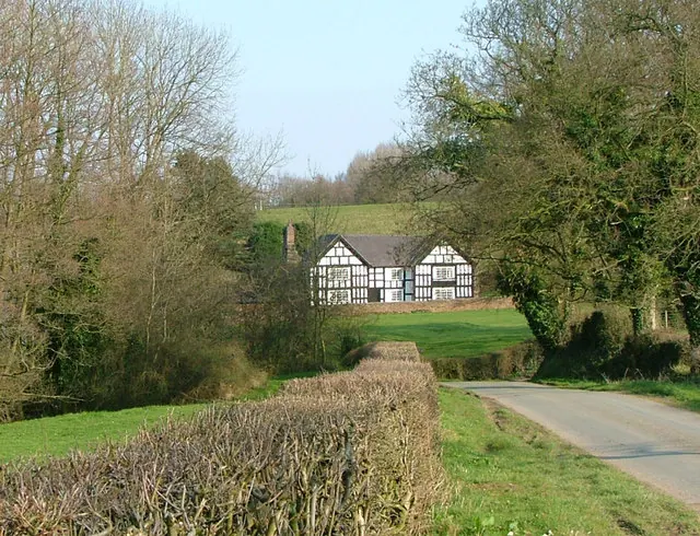
© Neil Lewin · Geograph · CC BY-SA 2.0
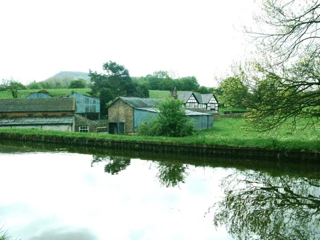
© Raymond Knapman · Geograph · CC BY-SA 2.0
Images © their respective photographers, licensed under CC BY-SA 2.0 and reused here with attribution. Photographs depict listed buildings, churches and monuments near this settlement and may show neighbouring villages.
Data derived from the Open Domesday project (opendomesday.org), based on the Domesday Book dataset compiled by Professor J.J.N. Palmer and team. The Domesday Book (1086) is in the public domain.
Found an inaccuracy? [email protected]