North Meols in the Domesday Book (1086)
North Meols is named in the Domesday Book, compiled by Norman commissioners in 1086, entered under the hundred of [West] Derby in Cheshire. The survey assessed North Meols at 4 carucates of taxable land.
Most significantly, North Meols is recorded as waste in 1086 - land rendered uninhabitable and valueless. Before the Conquest, the settlement had been assessed at 1 shilling; by 1086 that value had collapsed entirely. This pattern - prosperity before 1066, devastation by 1086 - is the unmistakable signature of the Harrying of the North , William I’s campaign of systematic destruction across Yorkshire in 1069–70.
Other Settlements in [West] Derby
- Ainsdale
- Allerton
- Argarmeles
- Aughton
- Barton
- Bootle
- Childwall
- Dalton
- Downholland
- Formby
- Halsall
- Hurlston
- Huyton
- Ince [Blundell]
The Meaning of the Name
The origin of the name North Meols is not securely established from its modern form alone; like many settlement names in the North it likely combines an Old English or Old Norse personal name with a landscape term.
Remarkably, the name has changed little since 1086, when the Domesday scribes wrote it as North Meols.
Listed Buildings Near North Meols
Historic England records 20 listed buildings within about a mile of North Meols. Listing protects structures of special architectural or historic interest, graded I (exceptional), II* (particularly important) and II.
Grade II
- Number 7 Bank Nook - 0.93 km
- Numbers 6 and 6A Bank Nook - 0.94 km
- Numbers 1-4 Bank Nook - 0.95 km
- Number 5 Bank Nook - 0.96 km
- Cockle Dicks Nurseries - 0.99 km
- No. 1 Argyle Road - 1.01 km
- 45, Park Crescent - 1.05 km
- Rest Haven - 1.07 km
- West Dene - 1.1 km
- Salfordian - 1.12 km
- Heron Cottage - 1.15 km
- 26, Knob Hall Lane - 1.16 km
- 28, Knob Hall Lane - 1.16 km
- Astronomical Observatory - 1.21 km
- 19, Threlfalls Lane - 1.21 km
- 21 and 23, Threlfalls Lane - 1.22 km
- 28, Cambridge Road - 1.25 km
- Melton Grange - 1.26 km
- Shelter Opposite Albany Road - 1.29 km
- 123, 125 and 127, Marshside Road - 1.29 km
Nearby Domesday Settlements
Other places recorded in the 1086 survey within a few miles:
Heritage Around [North] Meols
Photographs of churches, listed buildings and monuments in the vicinity, contributed by volunteers to the Geograph project and reused here under a Creative Commons licence.
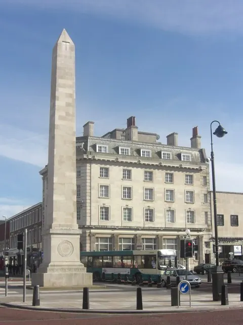
© Anthony Foster · Geograph · CC BY-SA 2.0
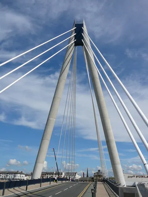
© Colin Park · Geograph · CC BY-SA 2.0
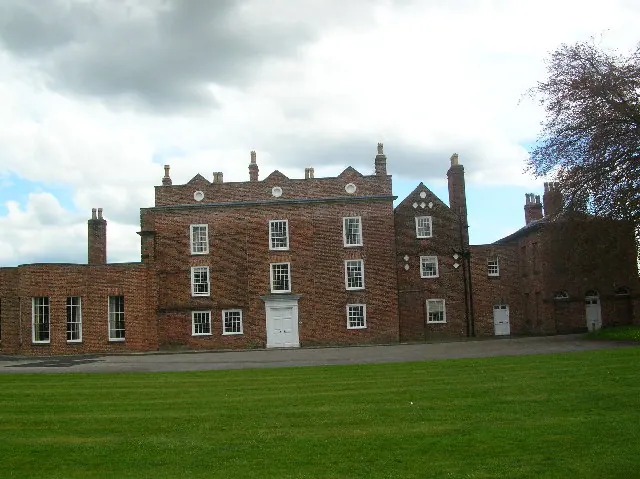
© Chris Wright · Geograph · CC BY-SA 2.0
Images © their respective photographers, licensed under CC BY-SA 2.0 and reused here with attribution. Photographs depict listed buildings, churches and monuments near this settlement and may show neighbouring villages.
Data derived from the Open Domesday project (opendomesday.org), based on the Domesday Book dataset compiled by Professor J.J.N. Palmer and team. The Domesday Book (1086) is in the public domain.
Found an inaccuracy? [email protected]