North Holme House in the Domesday Book (1086)
The settlement of North Holme House is recorded in William I’s Domesday survey of 1086, entered under the hundred of Maneshou in Yorkshire.
Other Settlements in Maneshou
- Amotherby
- Ampleforth
- Appleton [le Street]
- Beadlam
- Brawby
- Broughton
- Cawton
- Coulton
- Fadmoor
- Fryton
- Gillamoor
- Gilling [East]
- Griff [Farm]
- Grimston
The Meaning of the Name
The origin of the name North Holme House is not securely established from its modern form alone; like many settlement names in the North it likely combines an Old English or Old Norse personal name with a landscape term.
Remarkably, the name has changed little since 1086, when the Domesday scribes wrote it as North Holme House.
Listed Buildings Near North Holme House
Historic England records 8 listed buildings within about a mile of North Holme House. Listing protects structures of special architectural or historic interest, graded I (exceptional), II* (particularly important) and II.
Grade I
- Church of St John of Beverley - 1.15 km
Grade II
- High North Holme Farmhouse - 0.29 km
- Salton Bridge - 1.02 km
- Gates and Gate Piers Approximately 20 Metres North West of Manor Farmhouse - 1.03 km
- Gates and Gate Piers Approximately 70 Metres North of Manor Farmhouse - 1.07 km
- Manor Farmhouse - 1.09 km
- Harrison and Taylor Table Tombs Approximately 7 Metres South of the Church of St John of Beverley - 1.16 km
- Red House Farmhouse - 1.2 km
North Holme House Today
Today North Holme House lies within the administrative area of Nunnington.
Nearby Domesday Settlements
Other places recorded in the 1086 survey within a few miles:
- Salton - 1.0 km E
- East and West Ness - 1.4 km SW
- Middelham - 2.0 km W
- Riccal House - 3.0 km W
- South Holme - 3.0 km S
- Normanby - 3.2 km E
Heritage Around [North] Holme [House]
Photographs of churches, listed buildings and monuments in the vicinity, contributed by volunteers to the Geograph project and reused here under a Creative Commons licence.
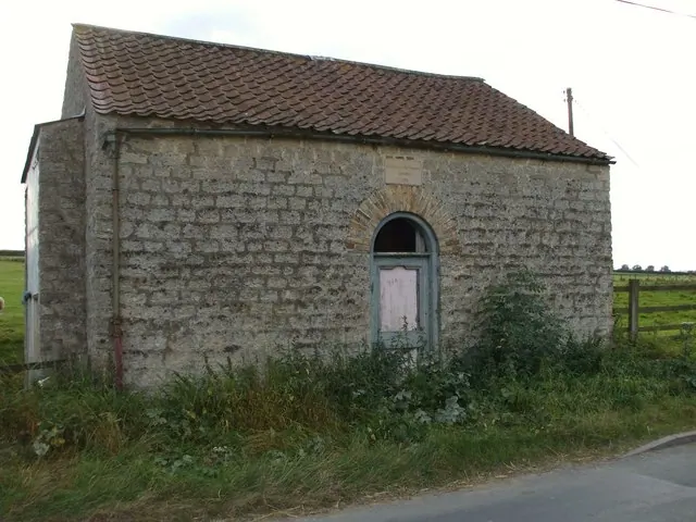
© Matthew Hatton · Geograph · CC BY-SA 2.0
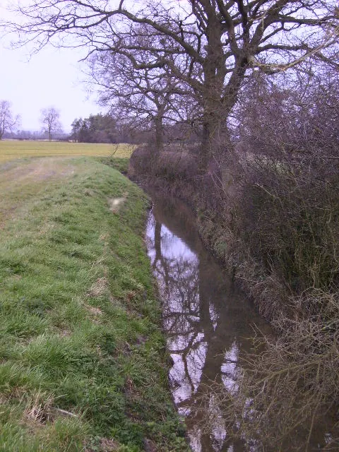
© Phil Catterall · Geograph · CC BY-SA 2.0
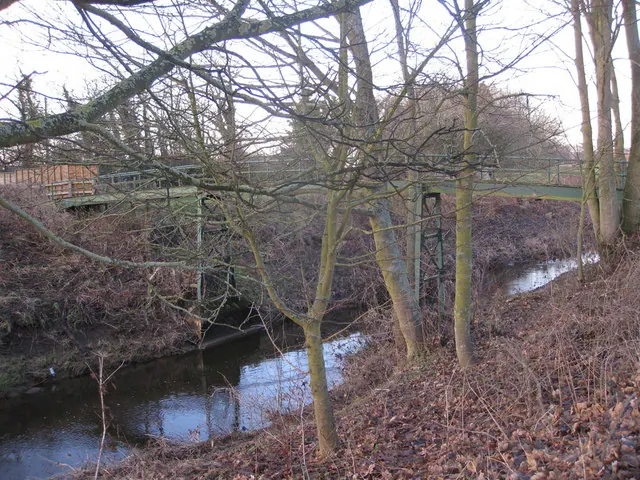
© Pauline E · Geograph · CC BY-SA 2.0
Images © their respective photographers, licensed under CC BY-SA 2.0 and reused here with attribution. Photographs depict listed buildings, churches and monuments near this settlement and may show neighbouring villages.
Data derived from the Open Domesday project (opendomesday.org), based on the Domesday Book dataset compiled by Professor J.J.N. Palmer and team. The Domesday Book (1086) is in the public domain.
Found an inaccuracy? [email protected]