North Ferriby in the Domesday Book (1086)
North Ferriby appears in the Domesday Book of 1086, entered under the hundred of Hessle in Yorkshire. The survey assessed North Ferriby at 1.5 carucates of taxable land.
At the time of the survey, North Ferriby supported a recorded population of 4 smallholders, 3 slaves, working 1 plough between them.
The survey records North Ferriby’s value at 2.1 shillings in 1086. No pre-Conquest figure survives – not unusual in the North, where records were disrupted by the Harrying and by the patchy coverage of the survey.
The survey lists 2 manors at North Ferriby under different lords. Splitting a single settlement between multiple tenants was common across the North – Saxon estates broken up and handed to William’s followers after 1066.
Resources Recorded at North Ferriby (1086)
- Pigs: 3
- Sheep: 10
- Meadow: 8 acres
- Woodland: 10 None
Other Settlements in Hessle
- Anlaby
- Breighton
- Bubwith
- Chetelestorp
- Chrachetorp
- Crachetorp
- Gunby
- Hessle
- Lund
- Myton
- Newsholme
- Riplingham
- Siuuarbi
- Spaldington
The Meaning of the Name
The name North Ferriby is of Scandinavian origin. Its final element derives from the Old Norse word bý, a farmstead or village. The first element is most likely a personal name or an early descriptive term, now difficult to recover with certainty. Taken together the name probably meant something close to ‘a farmstead’.
Names of this type are a fingerprint of Scandinavian settlement: they cluster across the old Danelaw, where Norse-speaking settlers renamed or founded villages from the late 9th century onward.
Remarkably, the name has changed little since 1086, when the Domesday scribes wrote it as North Ferriby.
Listed Buildings Near North Ferriby
Historic England records 14 listed buildings within about a mile of North Ferriby. Listing protects structures of special architectural or historic interest, graded I (exceptional), II* (particularly important) and II.
Grade II*
- Ferriby House - 0.36 km
Grade II
- Garden Niche to Front of Number 8 - 0.15 km
- The Manor House and Screen Wall - 0.25 km
- 15, High Street - 0.3 km
- K8 Telephone Kiosk, High Street, North Ferriby - 0.33 km
- Stables to Ferriby House - 0.37 km
- White House and Barn Adjoining to Right - 0.37 km
- Ferriby Hall Club With Screen Walls and Gate Piers - 0.4 km
- Tithe Farmhouse - 0.45 km
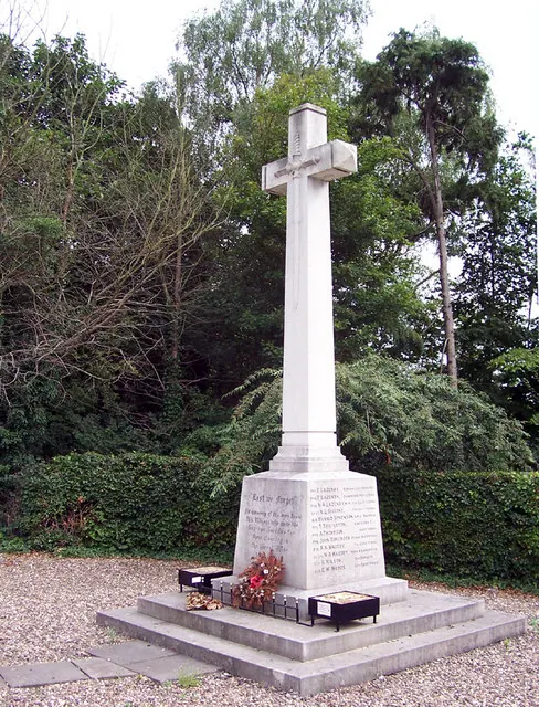
- North Ferriby War Memorial - 0.48 km
- Moss Cottage and Honeysuckle Cottage - 0.57 km
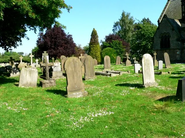
- Church of All Saints - 0.74 km
- Cross Base 2 Metres to East of East Wall of South Aisle of Church of All Saints - 0.75 km
- Coach House and Stables at Melton Hill - 1.21 km
North Ferriby Today
Today North Ferriby lies within the administrative area of East Riding of Yorkshire, and the settlement recorded a population of 3,963 at the 2021 census. Nine and a half centuries separate that figure from the small rural community the Domesday survey recorded here in 1086.
Read more about modern North Ferriby on Wikipedia .
Nearby Domesday Settlements
Other places recorded in the 1086 survey within a few miles:
- Welton - 3.2 km W
- Wauldby - 3.6 km NW
- Elloughton - 4.5 km NW
- Chrachetorp - 5.0 km E
- Crachetorp - 5.0 km E
- Hessle - 5.0 km E
Heritage Around [North] Ferriby
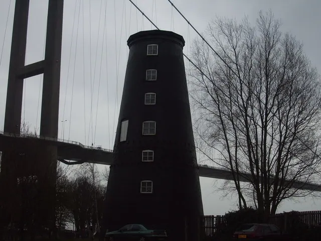
Photographs of churches, listed buildings and monuments in the vicinity, contributed by volunteers to the Geograph project and reused here under a Creative Commons licence.
© David Wright · Geograph · CC BY-SA 2.0
© Roger Gilbertson · Geograph · CC BY-SA 2.0
© Pauline Millward · Geograph · CC BY-SA 2.0
Images © their respective photographers, licensed under CC BY-SA 2.0 and reused here with attribution. Photographs depict listed buildings, churches and monuments near this settlement and may show neighbouring villages.
Data derived from the Open Domesday project (opendomesday.org), based on the Domesday Book dataset compiled by Professor J.J.N. Palmer and team. The Domesday Book (1086) is in the public domain.
Found an inaccuracy? [email protected]