North Cave in the Domesday Book (1086)
North Cave appears in the Domesday Book of 1086, entered under the hundred of Cave in Yorkshire.
Other Settlements in Cave
- Aughton
- Drewton
- Ellerton
- Everthorpe
- Foggathorpe
- Gribthorpe
- Hotham
- Laytham
- Melbourne
- Seaton [Ross]
- Thornton
- Yokefleet [Grange]
- [East] Cottingwith
- [High and Low] Hunsley
The Meaning of the Name
The origin of the name North Cave is not securely established from its modern form alone; like many settlement names in the North it likely combines an Old English or Old Norse personal name with a landscape term.
Remarkably, the name has changed little since 1086, when the Domesday scribes wrote it as North Cave.
Listed Buildings Near North Cave
Historic England records 25 listed buildings within about a mile of North Cave. Listing protects structures of special architectural or historic interest, graded I (exceptional), II* (particularly important) and II.
Grade I
- Church of All Saints - 0.27 km
Grade II*
- Hotham Hall - 1.24 km
Grade II
- The Vicarage - 0.16 km
- 16, Church Street - 0.2 km
- North Cave War Memorial - 0.2 km
- Westfield House - 0.24 km
- Number 3 and Adjoining Outbuildings - 0.27 km
- 5, Westgate - 0.3 km
- Westgate House - 0.3 km
- Glebe House - 0.31 km
- Paper Mill House - 0.32 km
- Pigoncote at the Croft - 0.33 km
- Manor Farmhouse East - 0.34 km
- Manor Farm East Dovecote - 0.34 km
- Manor Farm East, Granary, Stables and Barn - 0.36 km
- Nordham House - 0.37 km
- Country Gardens and Re Lilley and Sons - 0.39 km
- 5, Finkle Street - 0.4 km
- Milestone Farmhouse - 0.58 km
- Mounting Block and Milepost - 0.58 km
- 51, Westgate - 0.61 km
- 86, Westgate - 0.74 km
- Number 77 and Garden Wall - 0.76 km
- Gates and Gate Piers in Stable Yard at Hotham Hall - 1.26 km
…and 1 more listed structures in the area.
North Cave Today
Today North Cave lies within the administrative area of East Riding of Yorkshire, and the settlement recorded a population of 2,486 at the 2021 census. Nine and a half centuries separate that figure from the small rural community the Domesday survey recorded here in 1086.
Read more about modern North Cave on Wikipedia .
Nearby Domesday Settlements
Other places recorded in the 1086 survey within a few miles:
- Everthorpe - 1.4 km SE
- Hotham - 2.0 km N
- Kettlethorpe - 2.2 km NE
- Drewton - 3.2 km E
- South Cave - 3.2 km E
- North and South Newbald - 3.6 km NE
Heritage Around [North] Cave
Photographs of churches, listed buildings and monuments in the vicinity, contributed by volunteers to the Geograph project and reused here under a Creative Commons licence.
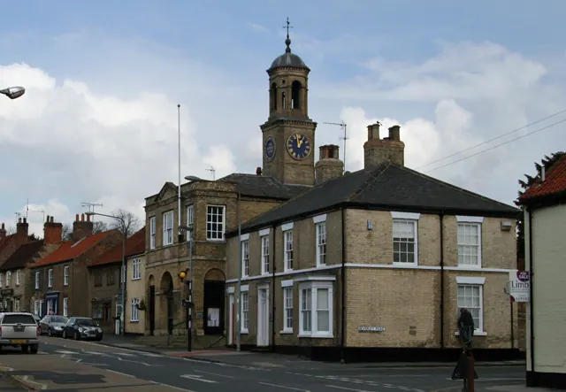
© Peter Church · Geograph · CC BY-SA 2.0
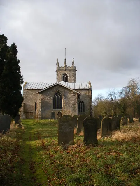
© SMJ · Geograph · CC BY-SA 2.0
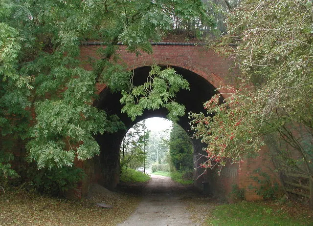
© Paul Glazzard · Geograph · CC BY-SA 2.0
Images © their respective photographers, licensed under CC BY-SA 2.0 and reused here with attribution. Photographs depict listed buildings, churches and monuments near this settlement and may show neighbouring villages.
Data derived from the Open Domesday project (opendomesday.org), based on the Domesday Book dataset compiled by Professor J.J.N. Palmer and team. The Domesday Book (1086) is in the public domain.
Found an inaccuracy? [email protected]