North Bierley in the Domesday Book (1086)
North Bierley appears in the Domesday Book of 1086, entered under the hundred of Morley in Yorkshire.
Other Settlements in Morley
- Allerton
- Armley
- Batley
- Beeston
- Bolton
- Bowling
- Bradford
- Bramley
- Calverley
- Carlton
- Chellow [Grange]
- Clayton
- Clifton
- Cruttonstall
The Meaning of the Name
The name North Bierley is of Anglo-Saxon origin. Its final element derives from the Old English word lēah, a woodland clearing or glade. The first element is most likely a personal name or an early descriptive term, now difficult to recover with certainty. Taken together the name probably meant something close to ‘a clearing’.
Remarkably, the name has changed little since 1086, when the Domesday scribes wrote it as North Bierley.
Listed Buildings Near North Bierley
Historic England records 13 listed buildings within about a mile of North Bierley. Listing protects structures of special architectural or historic interest, graded I (exceptional), II* (particularly important) and II.
Grade II*
- 439-443, Shetcliffe Lane - 0.21 km
- Newhall - 0.96 km
- Church of St John - 1.03 km
Grade II
- 430, Shetcliffe Lane and 6 Walker Street - 0.2 km
- 426 and 428 Shetcliffe Lane - 0.21 km
- Lockwood Farmhouse - 0.3 km
- Tan House Farm Cottage Tan House Farmhouse - 0.31 km
- Rose Garth - 0.5 km
- Rooley Cottage Farmhouse - 0.89 km
- 374, Rooley Lane Bd4 - 1.0 km
- Chapel at Bowling - 1.21 km
- 195 and 197, Toftshaw Lane - 1.27 km
- Upper Park House Cottages - 1.28 km
North Bierley Today
Today North Bierley lies within the administrative area of Bradford.
Nearby Domesday Settlements
Other places recorded in the 1086 survey within a few miles:
Heritage Around [North] Bierley
Photographs of churches, listed buildings and monuments in the vicinity, contributed by volunteers to the Geograph project and reused here under a Creative Commons licence.
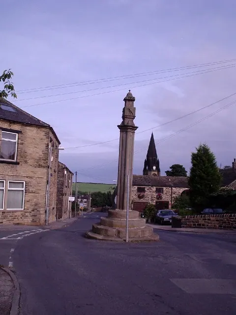
© Stephen Armstrong · Geograph · CC BY-SA 2.0
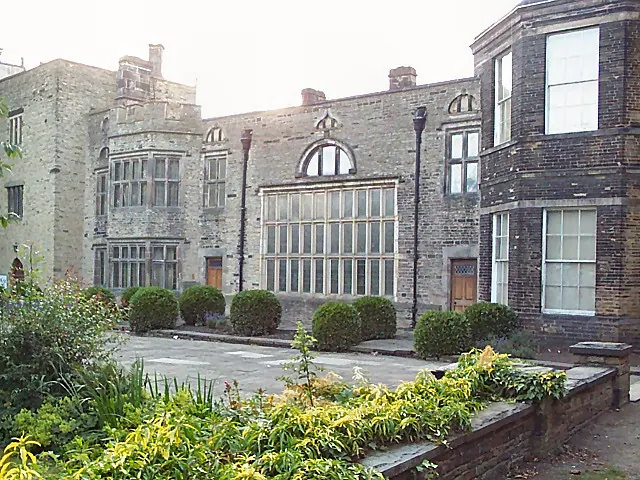
© David Spencer · Geograph · CC BY-SA 2.0
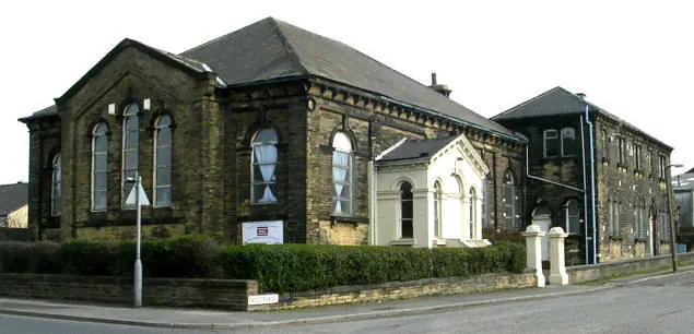
© Betty Longbottom · Geograph · CC BY-SA 2.0
Images © their respective photographers, licensed under CC BY-SA 2.0 and reused here with attribution. Photographs depict listed buildings, churches and monuments near this settlement and may show neighbouring villages.
Data derived from the Open Domesday project (opendomesday.org), based on the Domesday Book dataset compiled by Professor J.J.N. Palmer and team. The Domesday Book (1086) is in the public domain.
Found an inaccuracy? [email protected]