Normanton in the Domesday Book (1086)
The settlement of Normanton is recorded in William I’s Domesday survey of 1086, entered under the hundred of Litchurch in Derbyshire. The survey assessed Normanton at 4 carucates of taxable land.
At the time of the survey, Normanton supported a recorded population of 13 villagers, 7 smallholders, working 8 ploughs between them.
The valuation dropped between 1066 and 1086. Before 1066, Normanton was worth 4 shillings; by 1086 that had dropped to 2 shillings – a fall of 50%. Most Yorkshire villages that lost value on this scale were swept up in the Harrying of the North – William’s scorched-earth campaign of 1069–70.
Resources Recorded at Normanton (1086)
- Mills: 2 mills (valued at 8d)
Other Settlements in Litchurch
- Allestree
- Alvaston
- Ambaston
- Arleston
- Aston [-on-Trent]
- Barrow [-upon-Trent]
- Bearwardcote
- Boulton
- Burnaston
- Chellaston
- Cottons
- Dalbury
- Egginton
- Elvaston
The Meaning of the Name
The name Normanton is of Anglo-Saxon origin. Its final element derives from the Old English word tūn, a farmstead or village, while the first element appears to represent the northern. Taken together the name probably meant something close to ’the northern farmstead’.
Remarkably, the name has changed little since 1086, when the Domesday scribes wrote it as Normanton.
Listed Buildings Near Normanton
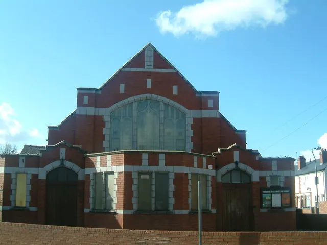
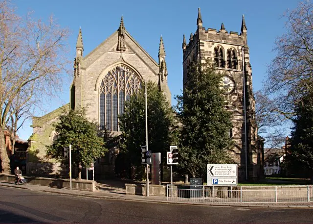
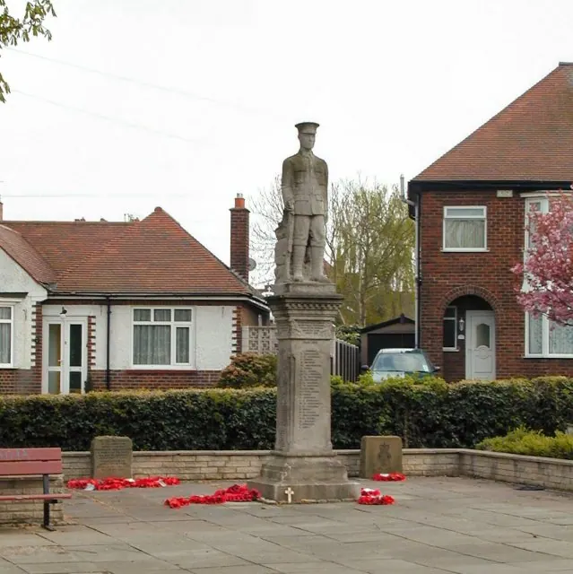
Historic England records 7 listed buildings within about a mile of Normanton. Listing protects structures of special architectural or historic interest, graded I (exceptional), II* (particularly important) and II.
Grade II
- 189, Village Street - 0.13 km
- War memorial at St Giles’ Church, Normanton, Derby. - 0.14 km
- 177-183, Village Street - 0.15 km
- 185 and 187, Village Street - 0.15 km
- War Memorial, Church of St Thomas the Apostle - 1.14 km
- Church of St Thomas the Apostle - 1.16 km
- Anti-aircraft pillbox at Sinfin Central Business Park - 1.27 km
Normanton Today
Today Normanton lies within the administrative area of City of Derby.
Read more about modern Normanton on Wikipedia .
Nearby Domesday Settlements
Other places recorded in the 1086 survey within a few miles:
Heritage Around Normanton
Photographs of churches, listed buildings and monuments in the vicinity, contributed by volunteers to the Geograph project and reused here under a Creative Commons licence.
© Tom Wosik · Geograph · CC BY-SA 2.0
© Jerry Evans · Geograph · CC BY-SA 2.0
© Chris J Dixon · Geograph · CC BY-SA 2.0
Images © their respective photographers, licensed under CC BY-SA 2.0 and reused here with attribution. Photographs depict listed buildings, churches and monuments near this settlement and may show neighbouring villages.
Data derived from the Open Domesday project (opendomesday.org), based on the Domesday Book dataset compiled by Professor J.J.N. Palmer and team. The Domesday Book (1086) is in the public domain.
Found an inaccuracy? [email protected]