Normanby in the Domesday Book (1086)
The 1086 Domesday survey records the settlement of Normanby, entered under the hundred of Langbaurgh in Yorkshire. The survey assessed Normanby at 32 carucates of taxable land.
At the time of the survey, Normanby supported a recorded population of 38 villagers, 15 smallholders, working 20 ploughs between them.
The drop in value is hard to miss. Before 1066, Normanby was worth 44 shillings; by 1086 that had dropped to 34 shillings – a fall of 22%. Most Yorkshire villages that lost value on this scale were swept up in the Harrying of the North – William’s scorched-earth campaign of 1069–70.
Resources Recorded at Normanby (1086)
- Mills: 3 mills (valued at 13d)
- Fisheries: 1
- Woodland: 3 * 1.5 leagues
Other Settlements in Langbaurgh
- Acklam
- Airy [Holme]
- Aislaby
- Arnodestorp
- Baldebi
- Barnaby
- Barwick
- Battersby
- Bergolbi
- Berguluesbi
- Blaten [Carr]
- Borrowby
- Breck
- Brotton
The Meaning of the Name
The name Normanby is of Scandinavian origin. Its final element derives from the Old Norse word bý, a farmstead or village, while the first element appears to represent the northern. Taken together the name probably meant something close to ’the northern farmstead’.
Names of this type are a fingerprint of Scandinavian settlement: they cluster across the old Danelaw, where Norse-speaking settlers renamed or founded villages from the late 9th century onward.
Remarkably, the name has changed little since 1086, when the Domesday scribes wrote it as Normanby.
Listed Buildings Near Normanby
Historic England records 16 listed buildings within about a mile of Normanby. Listing protects structures of special architectural or historic interest, graded I (exceptional), II* (particularly important) and II.
Grade II*
- Manor House - 0.23 km
Grade II
- Evans Monument, 210 Metres West of Church of St Helen - 0.27 km
- Appleton Tombstone Circa 10 Metres South of Church of St Helen - 0.34 km
- Snowdon Tombstone Circa 8 Metres South East of Church of St Helen - 0.36 km
- Smith’s Dock Company War Memorial, Normanby - 0.41 km
- 74, 76 and 78, High Street - 0.43 km
- Blacksmith’s Workshop North of Number 45 - 0.47 km
- Stapylton Arms Public House - 0.47 km
- 45, High Street - 0.47 km
- Numbers 47 and 49 and Area/retaining Walls - 0.48 km
- 82, High Street - 0.53 km
- 84 and 86, High Street - 0.53 km
- The Ship Inn - 0.57 km
- Christ Church - 0.74 km
- Normanby Hall - 0.8 km
- War Memorial Area Railings and Gate - 0.89 km
Normanby Today
Today Normanby lies within the administrative area of Redcar and Cleveland, and the settlement recorded a population of 6,930 at recent figures. Nine and a half centuries separate that figure from the small rural community the Domesday survey recorded here in 1086.
Read more about modern Normanby on Wikipedia .
Nearby Domesday Settlements
Other places recorded in the 1086 survey within a few miles:
Heritage Around Normanby
Photographs of churches, listed buildings and monuments in the vicinity, contributed by volunteers to the Geograph project and reused here under a Creative Commons licence.
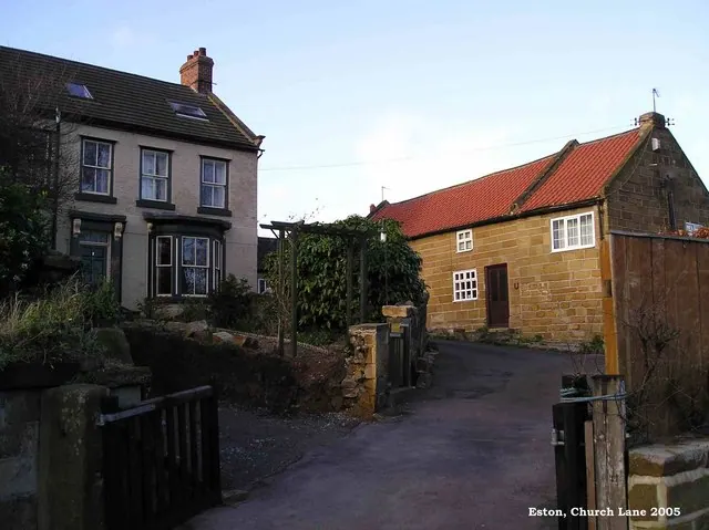
© Mike Guess · Geograph · CC BY-SA 2.0
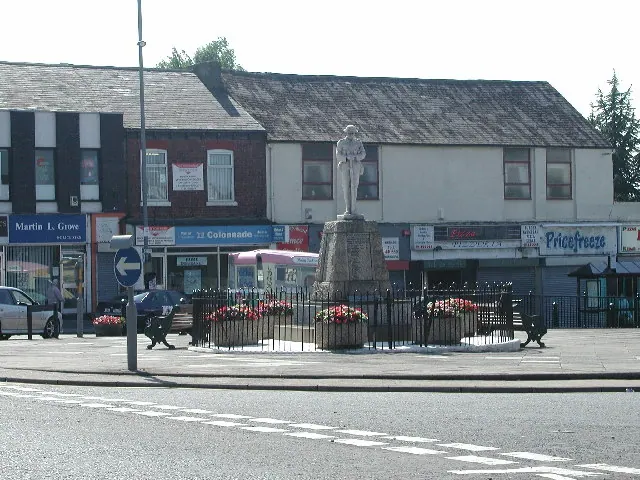
© Rob Pollard · Geograph · CC BY-SA 2.0
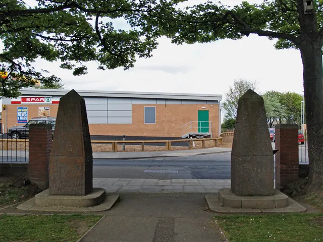
© Stephen McCulloch · Geograph · CC BY-SA 2.0
Images © their respective photographers, licensed under CC BY-SA 2.0 and reused here with attribution. Photographs depict listed buildings, churches and monuments near this settlement and may show neighbouring villages.
Data derived from the Open Domesday project (opendomesday.org), based on the Domesday Book dataset compiled by Professor J.J.N. Palmer and team. The Domesday Book (1086) is in the public domain.
Found an inaccuracy? [email protected]