Normanby in the Domesday Book (1086)
The 1086 Domesday survey records the settlement of Normanby, entered under the hundred of Langbaurgh in Yorkshire.
Other Settlements in Langbaurgh
- Acklam
- Airy [Holme]
- Aislaby
- Arnodestorp
- Baldebi
- Barnaby
- Barwick
- Battersby
- Bergolbi
- Berguluesbi
- Blaten [Carr]
- Borrowby
- Breck
- Brotton
The Meaning of the Name
The name Normanby is of Scandinavian origin. Its final element derives from the Old Norse word bý, a farmstead or village, while the first element appears to represent the northern. Taken together the name probably meant something close to ’the northern farmstead’.
Names of this type are a fingerprint of Scandinavian settlement: they cluster across the old Danelaw, where Norse-speaking settlers renamed or founded villages from the late 9th century onward.
Remarkably, the name has changed little since 1086, when the Domesday scribes wrote it as Normanby.
Listed Buildings Near Normanby
Historic England records 6 listed buildings within about a mile of Normanby. Listing protects structures of special architectural or historic interest, graded I (exceptional), II* (particularly important) and II.
Grade II
- Mile Post South of Junction of High Normanby Road - 0.53 km
- High Normanby Old Farmhouse and Byre Adjoining - 0.78 km
- High Cote - 1.03 km
- Hawsker Hall - 1.13 km
- Raw Farmhouse and Outbuilding Attached - 1.13 km
- T’awd Abba Well - 1.14 km
Scheduled Monuments Near Normanby
Scheduled monuments are nationally important archaeological sites given legal protection. 4 lie within roughly a mile of Normanby:
- Hawsker Cross wayside cross, 100m east of Hawsker Hall Farm - 1.13 km
- Bowl barrow 825m north of the junction of the A171 and the road leading to Fylingthorpe - 1.14 km
- Bowl barrow 710m north west of Thornfields - 1.41 km
- Bowl barrow 530m north west of Thornfields - 1.57 km
Normanby Today
Today Normanby lies within the administrative area of Fylingdales.
Nearby Domesday Settlements
Other places recorded in the 1086 survey within a few miles:
- Fyling Thorpe - 2.2 km SE
- Gnipe Howe - 2.2 km NE
- Sneaton - 3.2 km W
- Fyling Old Hall - 4.5 km SE
- Ugglebarnby - 5.1 km W
- Baldebi - 5.4 km N
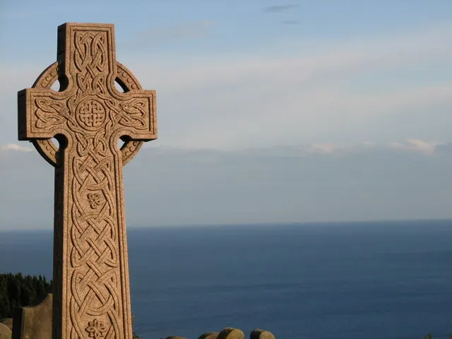
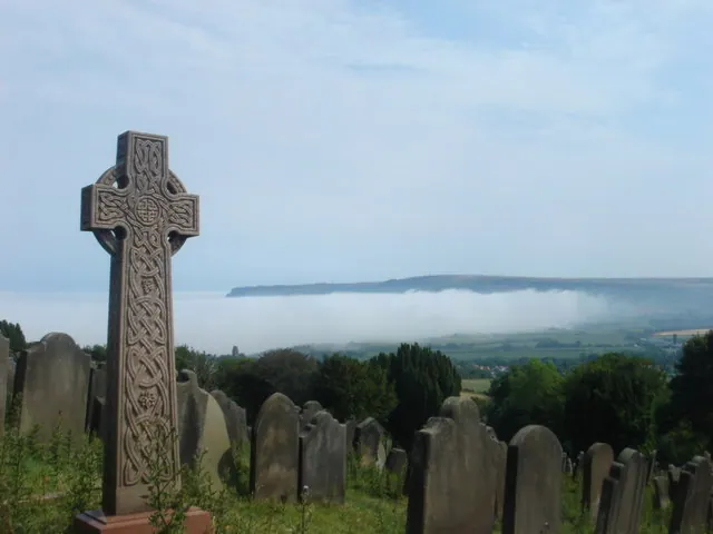
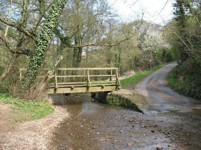
Heritage Around Normanby
Photographs of churches, listed buildings and monuments in the vicinity, contributed by volunteers to the Geograph project and reused here under a Creative Commons licence.
© P A Woodward · Geograph · CC BY-SA 2.0
© Margaret Clough · Geograph · CC BY-SA 2.0
© Gordon Hatton · Geograph · CC BY-SA 2.0
Images © their respective photographers, licensed under CC BY-SA 2.0 and reused here with attribution. Photographs depict listed buildings, churches and monuments near this settlement and may show neighbouring villages.
Data derived from the Open Domesday project (opendomesday.org), based on the Domesday Book dataset compiled by Professor J.J.N. Palmer and team. The Domesday Book (1086) is in the public domain.
Found an inaccuracy? [email protected]