Norbury in the Domesday Book (1086)
Norbury is named in the Domesday Book, compiled by Norman commissioners in 1086, entered under the hundred of Warmundestrou in Cheshire. The survey assessed Norbury at 5 carucates of taxable land.
At the time of the survey, Norbury supported a recorded population of 8 villagers, 5 smallholders, 2 slaves, working 4 ploughs between them.
Something went badly wrong here between the two surveys. Before 1066, Norbury was worth 5.25 shillings; by 1086 that had dropped to 4.5 shillings – a fall of 14%. Most Yorkshire villages that lost value on this scale were swept up in the Harrying of the North – William’s scorched-earth campaign of 1069–70.
The survey lists 5 manors at Norbury under different lords. Splitting a single settlement between multiple tenants was common across the North – Saxon estates broken up and handed to William’s followers after 1066.
Resources Recorded at Norbury (1086)
- Meadow: 1 ploughs
Other Settlements in Warmundestrou
- Acton
- Aston
- Aston [juxta Mondrem]
- Audlem
- Austerson
- Baddiley
- Barthomley
- Basford
- Batherton
- Blakenhall
- Broomhall
- Buerton
- Cholmondeston
- Chorley
The Meaning of the Name
The name Norbury is of Anglo-Saxon origin. Its final element derives from the Old English word burh, a fortified place, while the first element appears to represent the northern. Taken together the name probably meant something close to ’the northern stronghold’.
Remarkably, the name has changed little since 1086, when the Domesday scribes wrote it as Norbury.
Listed Buildings Near Norbury
Historic England records 5 listed buildings within about a mile of Norbury. Listing protects structures of special architectural or historic interest, graded I (exceptional), II* (particularly important) and II.
Grade II
- Brook Farmhouse - 0.8 km
- Olive Cottage - 0.89 km
- Stokes Cottage - 0.94 km
- The Holtridge - 1.16 km
- Church Bridge - 1.2 km
Norbury Today
Today Norbury lies within the administrative area of Marbury and District, and the settlement recorded a population of 199 at the 2021 census. Nine and a half centuries separate that figure from the small rural community the Domesday survey recorded here in 1086.
Read more about modern Norbury on Wikipedia .
Nearby Domesday Settlements
Other places recorded in the 1086 survey within a few miles:
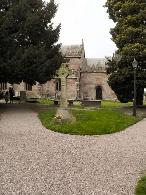
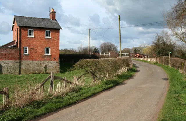
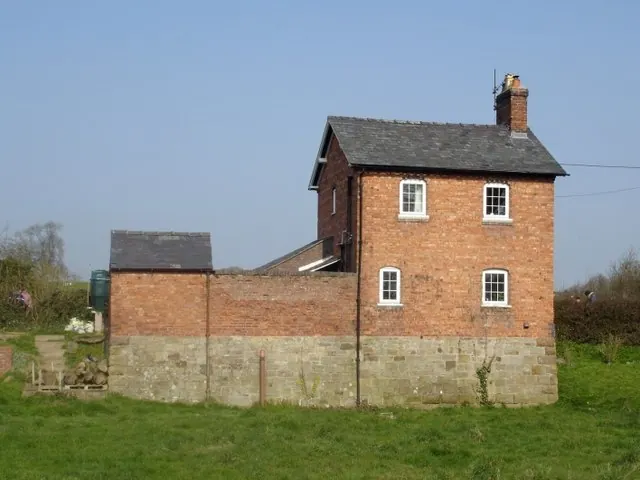
Heritage Around Norbury
Photographs of churches, listed buildings and monuments in the vicinity, contributed by volunteers to the Geograph project and reused here under a Creative Commons licence.
© David Dixon · Geograph · CC BY-SA 2.0
© Espresso Addict · Geograph · CC BY-SA 2.0
© Mike Harris · Geograph · CC BY-SA 2.0
Images © their respective photographers, licensed under CC BY-SA 2.0 and reused here with attribution. Photographs depict listed buildings, churches and monuments near this settlement and may show neighbouring villages.
Data derived from the Open Domesday project (opendomesday.org), based on the Domesday Book dataset compiled by Professor J.J.N. Palmer and team. The Domesday Book (1086) is in the public domain.
Found an inaccuracy? [email protected]