Norbury in the Domesday Book (1086)
Norbury is named in the Domesday Book, compiled by Norman commissioners in 1086, entered under the hundred of Appletree in Derbyshire.
Other Settlements in Appletree
- Alkmonton
- Ashe
- Aston
- Barton [Blount]
- Bentley
- Boylestone
- Bradley
- Brailsford
- Bupton
- Clifton
- Doveridge
- Eaton [Dovedale]
- Edlaston
- Ednaston
The Meaning of the Name
The name Norbury is of Anglo-Saxon origin. Its final element derives from the Old English word burh, a fortified place, while the first element appears to represent the northern. Taken together the name probably meant something close to ’the northern stronghold’.
Remarkably, the name has changed little since 1086, when the Domesday scribes wrote it as Norbury.
Listed Buildings Near Norbury
Historic England records 22 listed buildings within about a mile of Norbury. Listing protects structures of special architectural or historic interest, graded I (exceptional), II* (particularly important) and II.
Grade I
- Church of St Mary and St Barlok - 0.08 km
- The Old Manor and Attached Garden Wall - 0.13 km
Grade II*
- Calwich Abbey Temple Flanking Bridges With Gates, Gate Piers and Railings - 0.92 km
- Ellastone Old House - 1.18 km
Grade II
- Group of Three Gravestones 9 Yards South East of Norbury Church Tower - 0.09 km
- Grave 10 Yards South of Norbury Church Tower - 0.1 km
- Stone Cottage - 0.19 km
- Norbury Mill Bridge - 0.41 km
- Ellastone Bridge - 0.6 km
- Norbury Mill - 0.62 km
- Corn Drying Kiln to South of Norbury Mill - 0.63 km
- Boathouse Immediately South East of Portobello Bridge - 0.64 km
- Portobello Bridge - 0.65 km
- Calwich Abbey and Garden Steps - 0.87 km
- Former Coach House and Stable Block Adjoining Calwich Abbey to East, Including Gatepiers to Stable Yard - 0.88 km
- Former Cowhouse Immediately North of Dove Lane at Ngr Sk 1171 4280 - 0.96 km
- Corner House - 0.96 km
- Dunscombe House - 1.06 km
- Former Cottage Immediately South of the Duncombe Arms Public House - 1.12 km
- Milepost at Ngr Sk 1257 4360 - 1.14 km
- Tit Bridge and Flanking Causeway - 1.19 km
- Yew Trees and Yew Tree Gallery - 1.22 km
Scheduled Monuments Near Norbury
Scheduled monuments are nationally important archaeological sites given legal protection. 3 lie within roughly a mile of Norbury:
- Ellastone Bridge - 0.6 km
- Calwich Low bowl barrow - 1.34 km
- Bowl barrow 70m north-west of The Boxes - 1.52 km
Norbury Today
Today Norbury lies within the administrative area of Norbury and Roston.
Read more about modern Norbury on Wikipedia .
Nearby Domesday Settlements
Other places recorded in the 1086 survey within a few miles:
Heritage Around Norbury
Photographs of churches, listed buildings and monuments in the vicinity, contributed by volunteers to the Geograph project and reused here under a Creative Commons licence.
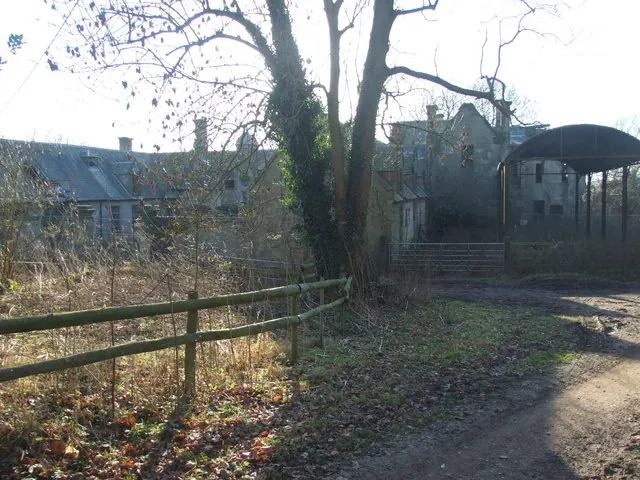
© Peter Taylor · Geograph · CC BY-SA 2.0
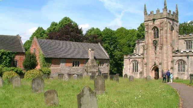
© Alan Walker · Geograph · CC BY-SA 2.0
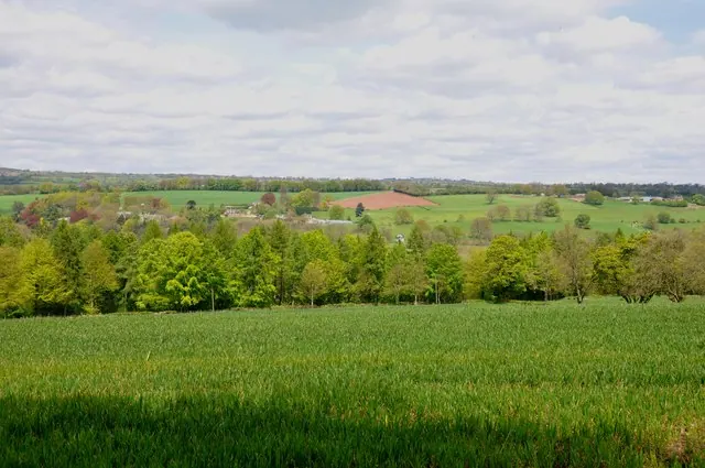
© Mick Malpass · Geograph · CC BY-SA 2.0
Images © their respective photographers, licensed under CC BY-SA 2.0 and reused here with attribution. Photographs depict listed buildings, churches and monuments near this settlement and may show neighbouring villages.
Data derived from the Open Domesday project (opendomesday.org), based on the Domesday Book dataset compiled by Professor J.J.N. Palmer and team. The Domesday Book (1086) is in the public domain.
Found an inaccuracy? [email protected]