Noctorum in the Domesday Book (1086)
Noctorum is named in the Domesday Book, compiled by Norman commissioners in 1086, entered under the hundred of Willaston in Cheshire.
Other Settlements in Willaston
The Meaning of the Name
The origin of the name Noctorum is not securely established from its modern form alone; like many settlement names in the North it likely combines an Old English or Old Norse personal name with a landscape term.
Remarkably, the name has changed little since 1086, when the Domesday scribes wrote it as Noctorum.
Listed Buildings Near Noctorum
Historic England records 29 listed buildings within about a mile of Noctorum. Listing protects structures of special architectural or historic interest, graded I (exceptional), II* (particularly important) and II.
Grade II*
- Church of St Saviour - 0.64 km
Grade II
- Gatepiers and Adjoining Wall to East of Mere Hall - 0.09 km
- Mere Hall - 0.12 km
- Lodge to Mere Hall - 0.22 km
- Oxton Old Hall - 0.62 km
- 37, Bidston Road - 0.63 km
- Roman Catholic Church of Holy Name of Jesus - 0.66 km
- 20, Talbot Road - 0.69 km
- Rathmore - 0.69 km
- 8 Silverdale Road, Oxton - 0.77 km
- Holly Lodge - 0.8 km
- Birkenhead School Preparatory Department - 0.81 km
- 59, Shrewsbury Road - 0.89 km
- 9 11, Alton Road - 0.92 km
- 13 15, Alton Road - 0.92 km
- 5 7, Alton Road - 0.92 km
- 20 22, Rosemount - 0.93 km
- Pillar Box 23, Alton Road (At Junction With Lorne Road) - 0.96 km
- 30, Shrewsbury Road - 0.98 km
- Trinity With Palm Grove United Reformed Church - 1.0 km
- 2, ROSLIN ROAD (See details for further address information) - 1.03 km
- 2 & 4, WILLAN STREET (See details for further address information) - 1.04 km
- 20 22 24, Village Road - 1.06 km
- 18, Village Road - 1.09 km
…and 5 more listed structures in the area.
Noctorum Today
Today Noctorum lies within the administrative area of Wirral, and the settlement recorded a population of 4,990 at recent figures. Nine and a half centuries separate that figure from the small rural community the Domesday survey recorded here in 1086.
Read more about modern Noctorum on Wikipedia .
Nearby Domesday Settlements
Other places recorded in the 1086 survey within a few miles:
Heritage Around Noctorum
Photographs of churches, listed buildings and monuments in the vicinity, contributed by volunteers to the Geograph project and reused here under a Creative Commons licence.
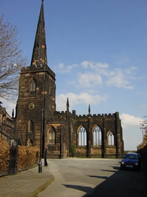
© Sue Adair · Geograph · CC BY-SA 2.0
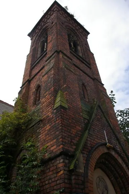
© Fractal Angel · Geograph · CC BY-SA 2.0
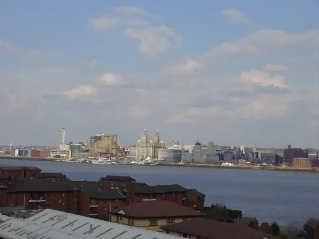
© Sue Adair · Geograph · CC BY-SA 2.0
Images © their respective photographers, licensed under CC BY-SA 2.0 and reused here with attribution. Photographs depict listed buildings, churches and monuments near this settlement and may show neighbouring villages.
Data derived from the Open Domesday project (opendomesday.org), based on the Domesday Book dataset compiled by Professor J.J.N. Palmer and team. The Domesday Book (1086) is in the public domain.
Found an inaccuracy? [email protected]