Newton upon Ouse in the Domesday Book (1086)
Newton upon Ouse is named in the Domesday Book, compiled by Norman commissioners in 1086, entered under the hundred of Bulford in Yorkshire. The survey assessed Newton upon Ouse at 0.2 carucates of taxable land.
At the time of the survey, Newton upon Ouse supported a recorded population of 4 slaves.
The survey records Newton upon Ouse’s value at 6d in 1086. No pre-Conquest figure survives – not unusual in the North, where records were disrupted by the Harrying and by the patchy coverage of the survey.
Other Settlements in Bulford
- Aldwark
- Alne
- Barnby [House]
- Barton [le Willows]
- Beningbrough
- Bossall
- Brafferton
- Brandsby
- Bulmer
- Buttercrambe
- Carlton [Farm]
- Claxton
- Coneysthorpe
- Corburn
The Meaning of the Name
The name Newton upon Ouse is of Anglo-Saxon origin. Its final element derives from the Old English word tūn, a farmstead or village, while the first element appears to represent the new. Taken together the name probably meant something close to ’the new farmstead’.
Remarkably, the name has changed little since 1086, when the Domesday scribes wrote it as Newton upon Ouse.
Listed Buildings Near Newton upon Ouse
Historic England records 22 listed buildings within about a mile of Newton upon Ouse. Listing protects structures of special architectural or historic interest, graded I (exceptional), II* (particularly important) and II.
Grade I
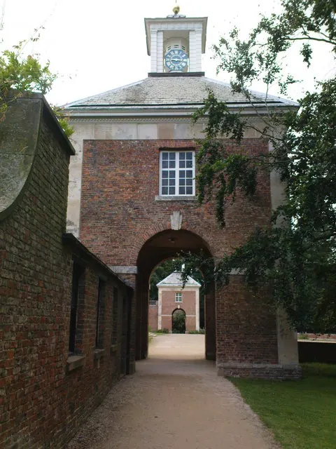
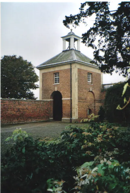
- Beningbrough Hall - 0.91 km
Grade II
- Newton Lodge (Entrance to Beningbrough Park) - 0.4 km
- Orchard House - 0.47 km
- Reuse Cottage - 0.63 km
- Lychgate to All Saints Church - 0.64 km
- Newton on Ouse Church of England School - 0.68 km
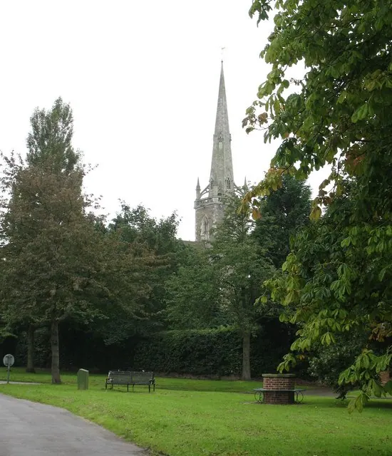
- Church of All Saints - 0.69 km
- Parish Hall - 0.69 km
- High Morrow - 0.7 km
- Skating Pond Lining and Tank Approx 150 Metres to North North West of Hall - 0.73 km
- The Dawnay Arms - 0.78 km
- Barstow House - 0.83 km
- Wall and Gates to North of Hall - 0.87 km
- Wall Around Laundry and Brew House Yard - 0.88 km
- The Laundry House - 0.89 km
- The Brew House - 0.9 km
- Stable-block to north of kitchen garden - 0.9 km
- Pump House Approximately 250 Metres to West North West of Hall - 0.91 km
- Cartshed With Granary Over at Beningbrough Hall - 0.91 km
- Covered Yard Adjoining Cart Shed at Beningbrough Home Farm - 0.92 km
- Wall to Garden Approximately 10 Metres to East of Hall and Wall Linking This to Hall - 0.98 km
- Ha Ha to West and South of Hall - 1.01 km
Nearby Domesday Settlements
Other places recorded in the 1086 survey within a few miles:
- Toresbi - 0.0 km N
- Widdington Hall - 2.0 km W
- Linton upon Ouse - 2.2 km NW
- Nun Monkton - 2.2 km SW
- Beningbrough - 2.2 km SE
- Moor Monkton - 3.2 km S
Heritage Around Newton [upon Ouse]
Photographs of churches, listed buildings and monuments in the vicinity, contributed by volunteers to the Geograph project and reused here under a Creative Commons licence.
© Gordon Hatton · Geograph · CC BY-SA 2.0
© Matthew Hatton · Geograph · CC BY-SA 2.0
© Carol Walker · Geograph · CC BY-SA 2.0
Images © their respective photographers, licensed under CC BY-SA 2.0 and reused here with attribution. Photographs depict listed buildings, churches and monuments near this settlement and may show neighbouring villages.
Data derived from the Open Domesday project (opendomesday.org), based on the Domesday Book dataset compiled by Professor J.J.N. Palmer and team. The Domesday Book (1086) is in the public domain.
Found an inaccuracy? [email protected]