Newton Solney in the Domesday Book (1086)
The settlement of Newton Solney is recorded in William I’s Domesday survey of 1086, entered under the hundred of Walecros in Derbyshire. The survey assessed Newton Solney at 3.2 carucates of taxable land.
At the time of the survey, Newton Solney supported a recorded population of 7 villagers, working 4 ploughs between them.
By 1086 Newton Solney was worth 4 shillings, up from 2 shillings before the Conquest – a sign this community came through the Conquest without being ruined.
Resources Recorded at Newton Solney (1086)
- Churches: 1
- Meadow: 12 acres
- Woodland: 2 * 2 leagues
Other Settlements in Walecros
- Appleby [Magna]
- Bolun
- Bretby
- Caldwell
- Catton
- Coton [-in-the-Elms]
- Drakelowe
- Foremark
- Hartshorne
- Hearthcote
- Ingleby
- Lullington
- Melbourne
- Milton
The Meaning of the Name
The name Newton Solney is of Anglo-Saxon origin. Its final element derives from the Old English word tūn, a farmstead or village, while the first element appears to represent the new. Taken together the name probably meant something close to ’the new farmstead’.
Remarkably, the name has changed little since 1086, when the Domesday scribes wrote it as Newton Solney.
Listed Buildings Near Newton Solney
Historic England records 16 listed buildings within about a mile of Newton Solney. Listing protects structures of special architectural or historic interest, graded I (exceptional), II* (particularly important) and II.
Grade II*
- Church of St Mary the Virgin - 0.74 km
Grade II
- The Poplars - 0.36 km
- Barn at Trent Farm - 0.4 km
- The Croft - 0.46 km
- Brickmakers Arms - 0.5 km
- Almshouses and attached walls and railings, 28-34 Main Street - 0.53 km
- The Cedars - 0.59 km
- Beehive Cottage - 0.62 km
- The Lodge and Attached Walls - 0.63 km
- The Cottage - 0.67 km
- Newton Park Hotel - 0.69 km
- Farm Buildings to North of Park Farmhouse and Attached Cottage - 0.73 km
- Newton Park Farmhouse - 0.78 km
- Gardener’s House in Newton Park - 0.83 km
- Medieval Arch From Burton Bridge in Newton Park - 0.85 km
- Folly Made Up From Fragments of Burton Abbey - 0.91 km
Newton Solney Today
Today Newton Solney lies within the administrative area of South Derbyshire, and the settlement recorded a population of 891 at the 2021 census. Nine and a half centuries separate that figure from the small rural community the Domesday survey recorded here in 1086.
Read more about modern Newton Solney on Wikipedia .
Nearby Domesday Settlements
Other places recorded in the 1086 survey within a few miles:
Heritage Around Newton [Solney]
Photographs of churches, listed buildings and monuments in the vicinity, contributed by volunteers to the Geograph project and reused here under a Creative Commons licence.
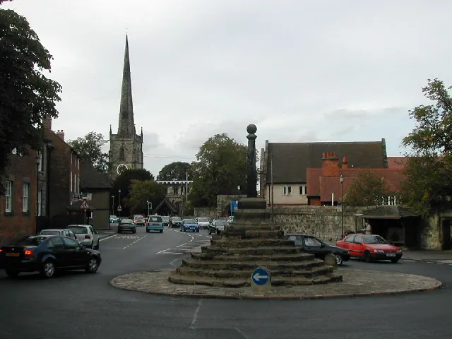
© Peter Shone · Geograph · CC BY-SA 2.0
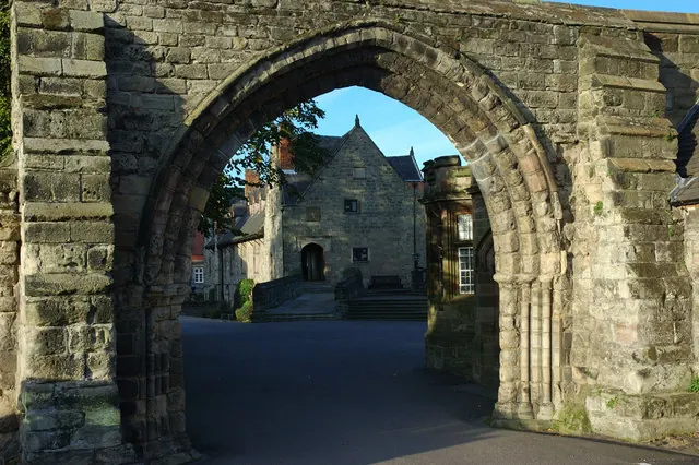
© Phil Myott · Geograph · CC BY-SA 2.0
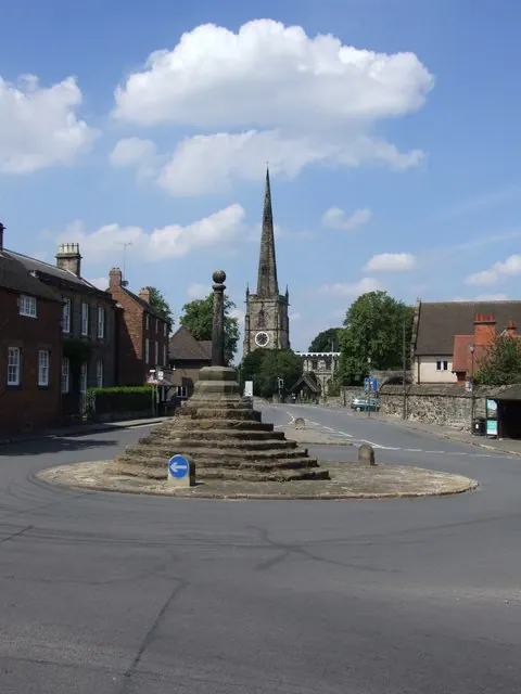
© Sharon Palmer · Geograph · CC BY-SA 2.0
Images © their respective photographers, licensed under CC BY-SA 2.0 and reused here with attribution. Photographs depict listed buildings, churches and monuments near this settlement and may show neighbouring villages.
Data derived from the Open Domesday project (opendomesday.org), based on the Domesday Book dataset compiled by Professor J.J.N. Palmer and team. The Domesday Book (1086) is in the public domain.
Found an inaccuracy? [email protected]