Newton Picot in the Domesday Book (1086)
The 1086 Domesday survey records the settlement of Newton Picot, entered under the hundred of Land of Count Alan in Yorkshire.
Other Settlements in Land of Count Alan
- Achebi
- Agglethorpe
- Ainderby [Mires]
- Ainderby [Quernhow]
- Aiskew
- Aldbrough
- Allerthorpe [Hall]
- Ascam
- Ascham
- Asebi
- Aske [Hall]
- Askrigg
- Aysgarth
- Baldersby
The Meaning of the Name
The name Newton Picot is of Anglo-Saxon origin. Its final element derives from the Old English word tūn, a farmstead or village, while the first element appears to represent the new. Taken together the name probably meant something close to ’the new farmstead’.
Remarkably, the name has changed little since 1086, when the Domesday scribes wrote it as Newton Picot.
Nearby Domesday Settlements
Other places recorded in the 1086 survey within a few miles:
- Morton upon Swale - 2.2 km NE
- Gatenby - 2.2 km SE
- Ounesbi - 2.2 km SE
- Exelby - 2.8 km SW
- Scruton - 3.2 km N
- Allerthorpe Hall - 3.2 km S
Heritage Around Newton [Picot]
Photographs of churches, listed buildings and monuments in the vicinity, contributed by volunteers to the Geograph project and reused here under a Creative Commons licence.
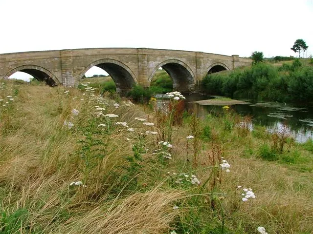
© Mick Garratt · Geograph · CC BY-SA 2.0
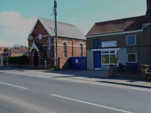
© Oliver Dixon · Geograph · CC BY-SA 2.0
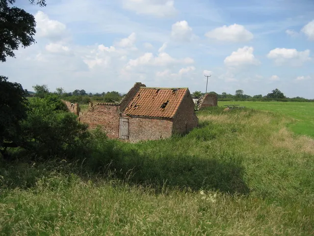
© Chris Heaton · Geograph · CC BY-SA 2.0
Images © their respective photographers, licensed under CC BY-SA 2.0 and reused here with attribution. Photographs depict listed buildings, churches and monuments near this settlement and may show neighbouring villages.
Location
54.3000°N, -1.5159°W · Land of Count Alan hundred, Yorkshire
View larger map on OpenStreetMap →Data derived from the Open Domesday project (opendomesday.org), based on the Domesday Book dataset compiled by Professor J.J.N. Palmer and team. The Domesday Book (1086) is in the public domain.
Found an inaccuracy? [email protected]