Newton Mulgrave in the Domesday Book (1086)
The settlement of Newton Mulgrave is recorded in William I’s Domesday survey of 1086, entered under the hundred of Langbaurgh in Yorkshire.
Other Settlements in Langbaurgh
- Acklam
- Airy [Holme]
- Aislaby
- Arnodestorp
- Baldebi
- Barnaby
- Barwick
- Battersby
- Bergolbi
- Berguluesbi
- Blaten [Carr]
- Borrowby
- Breck
- Brotton
The Meaning of the Name
The name Newton Mulgrave is of Anglo-Saxon origin. Its final element derives from the Old English word tūn, a farmstead or village, while the first element appears to represent the new. Taken together the name probably meant something close to ’the new farmstead’.
Remarkably, the name has changed little since 1086, when the Domesday scribes wrote it as Newton Mulgrave.
Listed Buildings Near Newton Mulgrave
Historic England records 7 listed buildings within about a mile of Newton Mulgrave. Listing protects structures of special architectural or historic interest, graded I (exceptional), II* (particularly important) and II.
Grade II
- Grasshill House - 0.57 km
- Barn, Stable and Byres to North of Grasshill House - 0.58 km
- America House and Barn Adjoining to West - 1.14 km
- Barn and Gin-gang to South East of America House - 1.15 km
- Barn, Byres and Stables North of Low Borrowby Farmhouse - 1.19 km
- Low Borrowby Farmhouse - 1.22 km
- Silkstone Hall, formerly The Croft, including gateways - 1.3 km
Scheduled Monuments Near Newton Mulgrave
Scheduled monuments are nationally important archaeological sites given legal protection. 5 lie within roughly a mile of Newton Mulgrave:
- Newton Mulgrave medieval settlement - 0.25 km
- Round barrow 180m west of Newton Brow - 1.28 km
- Round barrow 330m south west of Newton Brow - 1.37 km
- Long barrow on Newton Mulgrave Moor, 250m east of Birchdale House - 1.52 km
- Round barrow on Newton Mulgrave Moor, 450m south west of Newton Brow - 1.58 km
Newton Mulgrave Today
Today Newton Mulgrave lies within the administrative area of Scarborough, and the settlement recorded a population of 37 at the 2021 census. Nine and a half centuries separate that figure from the small rural community the Domesday survey recorded here in 1086.
Read more about modern Newton Mulgrave on Wikipedia .
Nearby Domesday Settlements
Other places recorded in the 1086 survey within a few miles:
- Borrowby - 1.0 km W
- Grimesbi - 1.0 km W
- Ellerby - 1.4 km SE
- Seaton Hall - 2.0 km N
- Roxby - 2.2 km NW
- Arnodestorp - 2.2 km NE
Heritage Around Newton [Mulgrave]
Photographs of churches, listed buildings and monuments in the vicinity, contributed by volunteers to the Geograph project and reused here under a Creative Commons licence.
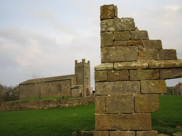
© Chris Twigg · Geograph · CC BY-SA 2.0
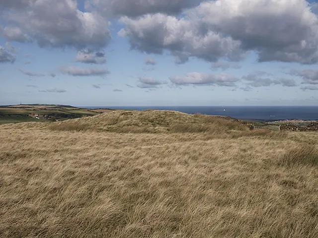
© Stephen McCulloch · Geograph · CC BY-SA 2.0
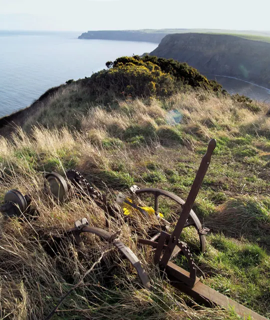
© Steve Fareham · Geograph · CC BY-SA 2.0
Images © their respective photographers, licensed under CC BY-SA 2.0 and reused here with attribution. Photographs depict listed buildings, churches and monuments near this settlement and may show neighbouring villages.
Data derived from the Open Domesday project (opendomesday.org), based on the Domesday Book dataset compiled by Professor J.J.N. Palmer and team. The Domesday Book (1086) is in the public domain.
Found an inaccuracy? [email protected]