Newton Morrell in the Domesday Book (1086)
The 1086 Domesday survey records the settlement of Newton Morrell, entered under the hundred of Land of Count Alan in Yorkshire. The survey assessed Newton Morrell at 3 carucates of taxable land.
At the time of the survey, Newton Morrell supported a recorded population of 8 villagers, 10 smallholders, working 9 ploughs between them.
By 1086 Newton Morrell was worth 5 shillings, up from 4 shillings before the Conquest – which sets it apart from the many nearby villages left waste or devalued.
The survey lists 2 manors at Newton Morrell under different lords. Splitting a single settlement between multiple tenants was common across the North – Saxon estates broken up and handed to William’s followers after 1066.
Resources Recorded at Newton Morrell (1086)
- Mills: 1 mills (valued at 12d)
- Churches: 1
- Fisheries: 2
- Meadow: 40 acres
- Woodland: 15 swine render
Other Settlements in Land of Count Alan
- Achebi
- Agglethorpe
- Ainderby [Mires]
- Ainderby [Quernhow]
- Aiskew
- Aldbrough
- Allerthorpe [Hall]
- Ascam
- Ascham
- Asebi
- Aske [Hall]
- Askrigg
- Aysgarth
- Baldersby
The Meaning of the Name
The name Newton Morrell is of Anglo-Saxon origin. Its final element derives from the Old English word tūn, a farmstead or village, while the first element appears to represent the new. Taken together the name probably meant something close to ’the new farmstead’.
Remarkably, the name has changed little since 1086, when the Domesday scribes wrote it as Newton Morrell.
Listed Buildings Near Newton Morrell
Historic England records 6 listed buildings within about a mile of Newton Morrell. Listing protects structures of special architectural or historic interest, graded I (exceptional), II* (particularly important) and II.
Grade II
- Church of St Cuthbert and St Mary - 0.75 km
- Dovecote - 0.82 km
- 21 23 and 25, Silver Street - 0.87 km
- Barton Lodge - 0.95 km
- Marygate packhorse bridge - 0.97 km
- Table tomb approximately 2 metres west of enclosed graves in churchyard of St Mary’s Church - 1.01 km
Scheduled Monuments Near Newton Morrell
Scheduled monuments are nationally important archaeological sites given legal protection. 1 lies within roughly a mile of Newton Morrell:
- Medieval cross at Barton - 0.96 km
Newton Morrell Today
Today Newton Morrell lies within the administrative area of Richmondshire, and the settlement recorded a population of 60 at the 2021 census. Nine and a half centuries separate that figure from the small rural community the Domesday survey recorded here in 1086.
Read more about modern Newton Morrell on Wikipedia .
Nearby Domesday Settlements
Other places recorded in the 1086 survey within a few miles:
- Barton - 1.0 km S
- Aldbrough - 3.6 km NW
- Kneeton Hall - 3.6 km SW
- Melsonby - 4.1 km W
- Middleton Tyas - 4.1 km S
- Manfield - 4.1 km N
Heritage Around Newton [Morrell]
Photographs of churches, listed buildings and monuments in the vicinity, contributed by volunteers to the Geograph project and reused here under a Creative Commons licence.
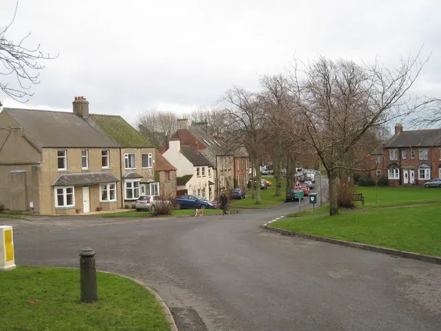
© Philip Barker · Geograph · CC BY-SA 2.0
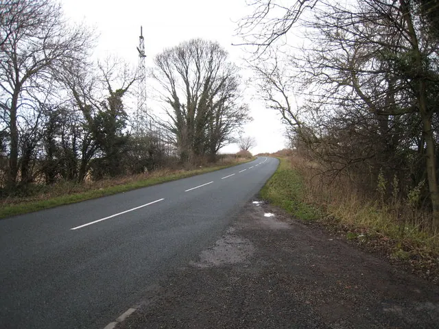
© Philip Barker · Geograph · CC BY-SA 2.0
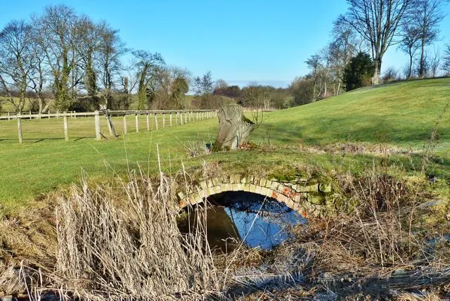
© Paul Buckingham · Geograph · CC BY-SA 2.0
Images © their respective photographers, licensed under CC BY-SA 2.0 and reused here with attribution. Photographs depict listed buildings, churches and monuments near this settlement and may show neighbouring villages.
Location
54.4802°N, -1.6373°W · Land of Count Alan hundred, Yorkshire
View larger map on OpenStreetMap →Data derived from the Open Domesday project (opendomesday.org), based on the Domesday Book dataset compiled by Professor J.J.N. Palmer and team. The Domesday Book (1086) is in the public domain.
Found an inaccuracy? [email protected]