Newton le Willows in the Domesday Book (1086)
The settlement of Newton le Willows is recorded in William I’s Domesday survey of 1086, entered under the hundred of Newton in Cheshire.
Other Settlements in Newton
The Meaning of the Name
The name Newton le Willows is of Anglo-Saxon origin. Its final element derives from the Old English word tūn, a farmstead or village, while the first element appears to represent the new. Taken together the name probably meant something close to ’the new farmstead’.
Remarkably, the name has changed little since 1086, when the Domesday scribes wrote it as Newton le Willows.
Listed Buildings Near Newton le Willows
Historic England records 13 listed buildings within about a mile of Newton le Willows. Listing protects structures of special architectural or historic interest, graded I (exceptional), II* (particularly important) and II.
Grade II*
- Entrance Archway to Cancello - 0.88 km
Grade II
- Newton Le Willows Station - 0.28 km
- Church of St Peter - 0.34 km
- Newton Viaduct to west of station - 0.35 km
- Parish Stocks - 0.36 km
- Newton Park Farmhouse - 0.51 km
- Barn to East of Newton Park Farmhouse - 0.53 km
- Huskisson Memorial on South Side of Railway, 60 Metres From Road - 0.92 km
- 158 and 160, High Street - 0.96 km
- Fairbrothers Farmhouse - 1.03 km
- United Reformed Chapel - 1.07 km
- Memorial to North West of Burial Ground of United Reformed Chapel - 1.1 km
- Dean School Cottage - 1.2 km
Scheduled Monuments Near Newton le Willows
Scheduled monuments are nationally important archaeological sites given legal protection. 1 lies within roughly a mile of Newton le Willows:
Newton le Willows Today
Today Newton le Willows lies within the administrative area of St Helens, and the settlement recorded a population of 24,642 at recent figures. Nine and a half centuries separate that figure from the small rural community the Domesday survey recorded here in 1086.
Read more about modern Newton-le-Willows on Wikipedia .
Nearby Domesday Settlements
Other places recorded in the 1086 survey within a few miles:
- Winwick - 3.2 km S
- Warrington - 7.1 km S
- Grappenhall - 10.8 km S
Heritage Around Newton [le Willows]
Photographs of churches, listed buildings and monuments in the vicinity, contributed by volunteers to the Geograph project and reused here under a Creative Commons licence.
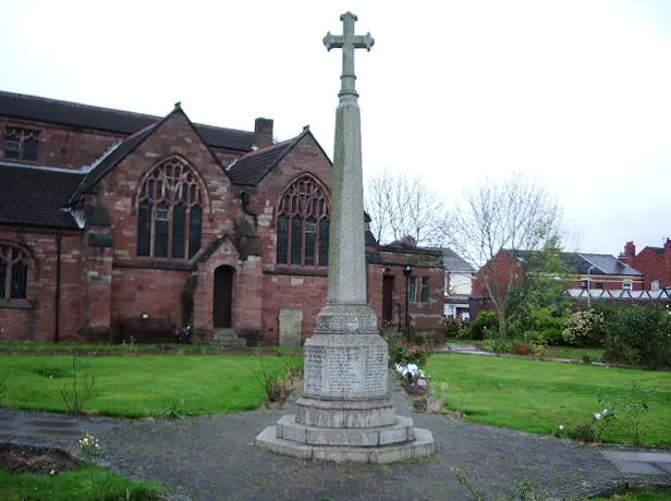
© Alexander P Kapp · Geograph · CC BY-SA 2.0
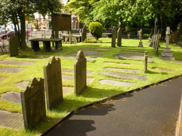
© Alexander P Kapp · Geograph · CC BY-SA 2.0
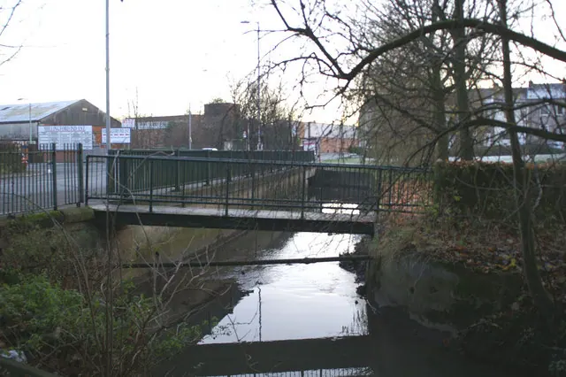
© David Long · Geograph · CC BY-SA 2.0
Images © their respective photographers, licensed under CC BY-SA 2.0 and reused here with attribution. Photographs depict listed buildings, churches and monuments near this settlement and may show neighbouring villages.
Data derived from the Open Domesday project (opendomesday.org), based on the Domesday Book dataset compiled by Professor J.J.N. Palmer and team. The Domesday Book (1086) is in the public domain.
Found an inaccuracy? [email protected]