Newton in the Domesday Book (1086)
The 1086 Domesday survey records the settlement of Newton, entered under the hundred of Langbaurgh in Yorkshire.
Other Settlements in Langbaurgh
- Acklam
- Airy [Holme]
- Aislaby
- Arnodestorp
- Baldebi
- Barnaby
- Barwick
- Battersby
- Bergolbi
- Berguluesbi
- Blaten [Carr]
- Borrowby
- Breck
- Brotton
The Meaning of the Name
The name Newton is of Anglo-Saxon origin. Its final element derives from the Old English word tūn, a farmstead or village, while the first element appears to represent the new. Taken together the name probably meant something close to ’the new farmstead’.
Remarkably, the name has changed little since 1086, when the Domesday scribes wrote it as Newton.
Listed Buildings Near Newton
Historic England records 14 listed buildings within about a mile of Newton. Listing protects structures of special architectural or historic interest, graded I (exceptional), II* (particularly important) and II.
Grade II*
- Church of St Oswald - 0.39 km
Grade II
- Lychgate, 30 metres to southeast of Church of St. Oswald. - 0.42 km
- Horse Gin House, 10 Metres North East of Old Hall - 0.42 km
- Old Hall, Adjoining Cottage and Outbuilding - 0.42 km
- Newton Hall - 0.52 km
- Boundary Wall and Gatepiers, Enclosing Garden of Newton Hall - 0.56 km
- 7, the Green - 0.65 km
- 6, the Green - 0.65 km
- Roseberry Cottage - 0.7 km
- Old Village Hall - 0.71 km
- Boundary Stone, Approximately 330 Metres South West of Pinchinthorpe Hall at Ngr Nz74137 - 0.89 km
- Boundary Wall, Gate, and Gate Piers, North West of Pinchinthorpe Hall - 1.15 km
- Pinchinthorpe Hall and Extensions to South East and North East - 1.18 km
- Stables and Coach House Adjoining North East Corner of Pinchinthorpe Hall - 1.21 km
Scheduled Monuments Near Newton
Scheduled monuments are nationally important archaeological sites given legal protection. 2 lie within roughly a mile of Newton:
- Pinchinthorpe Hall moated site and post medieval gardens - 1.2 km
- Medieval settlement remains, post mill and field system 240m north of Pinchinthorpe Hall - 1.23 km
Newton Today
Today Newton lies within the administrative area of Guisborough.
Read more about modern Newton under Roseberry on Wikipedia .
Nearby Domesday Settlements
Other places recorded in the 1086 survey within a few miles:
- Pinchinthorpe Hall - 1.4 km NE
- Morton Grange - 1.4 km NW
- Nunthorpe - 2.0 km W
- Airy Holme - 2.2 km SE
- Upsall Hall - 3.0 km N
- Great Ayton - 3.0 km S
Heritage Around Newton
Photographs of churches, listed buildings and monuments in the vicinity, contributed by volunteers to the Geograph project and reused here under a Creative Commons licence.
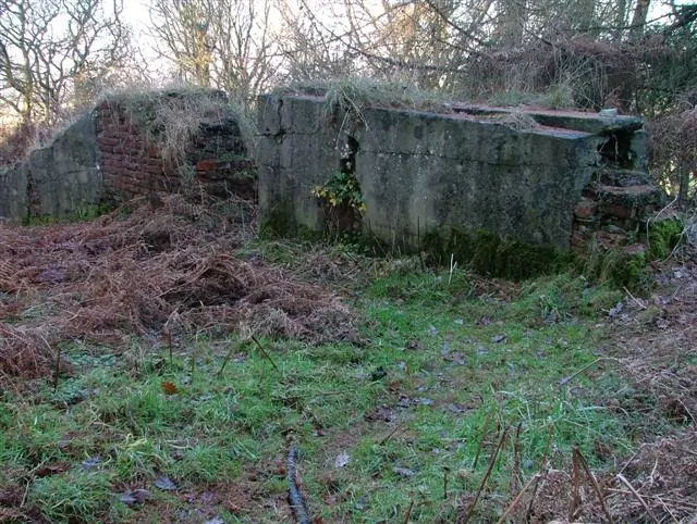
© Mick Garratt · Geograph · CC BY-SA 2.0
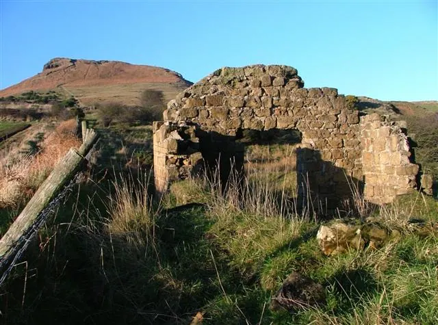
© Mick Garratt · Geograph · CC BY-SA 2.0
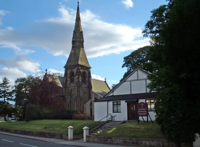
© michael ely · Geograph · CC BY-SA 2.0
Images © their respective photographers, licensed under CC BY-SA 2.0 and reused here with attribution. Photographs depict listed buildings, churches and monuments near this settlement and may show neighbouring villages.
Data derived from the Open Domesday project (opendomesday.org), based on the Domesday Book dataset compiled by Professor J.J.N. Palmer and team. The Domesday Book (1086) is in the public domain.
Found an inaccuracy? [email protected]