Newton Grange in the Domesday Book (1086)
The settlement of Newton Grange is recorded in William I’s Domesday survey of 1086, entered under the hundred of Hamston in Derbyshire.
Other Settlements in Hamston
- Alsop [-en-le-Dale]
- Ashbourne
- Atlow
- Ballidon
- Bonsall
- Bradbourne
- Brassington
- Broadlowash
- Callow
- Carsington
- Cowley
- Cromford
- Elton
- Hanson [Grange]
The Meaning of the Name
The name Newton Grange is of Anglo-Saxon origin. Its final element derives from the Old English word tūn, a farmstead or village, while the first element appears to represent the new. Taken together the name probably meant something close to ’the new farmstead’.
Remarkably, the name has changed little since 1086, when the Domesday scribes wrote it as Newton Grange.
Listed Buildings Near Newton Grange
Historic England records 8 listed buildings within about a mile of Newton Grange. Listing protects structures of special architectural or historic interest, graded I (exceptional), II* (particularly important) and II.
Grade II
- Newton Grange Farmhouse - 0.08 km
- Mile Post Half A Mile South of the New Inn at Ngr 161 541 - 0.81 km
- Sharplow Farmhouse and Attached Outbuildings - 0.88 km
- Town Head Farmhouse, Garden Wall and Railings - 1.21 km
- Parwich Lees - 1.24 km
- Overfield Farmhouse - 1.26 km
- Highway Close - 1.28 km
- Hands Well - 1.28 km
Scheduled Monuments Near Newton Grange
Scheduled monuments are nationally important archaeological sites given legal protection. 8 lie within roughly a mile of Newton Grange:
- Gorsey Low bowl barrow - 0.22 km
- Stand Low hlaew - 0.69 km
- Sharp Low bowl barrow - 0.76 km
- Boars Low bowl barrow - 0.94 km
- Moat Low bowl barrow - 1.21 km
- Bostern Grange bowl barrow - 1.45 km
- Cromwell’s Low bowl barrow - 1.48 km
- Civil War redoubt 150m east of Tissington Hall - 1.53 km
Newton Grange Today
Today Newton Grange lies within the administrative area of Derbyshire Dales, and the settlement recorded a population of 49 at the 2021 census. Nine and a half centuries separate that figure from the small rural community the Domesday survey recorded here in 1086.
Read more about modern Newton Grange on Wikipedia .
Nearby Domesday Settlements
Other places recorded in the 1086 survey within a few miles:
- Tissington - 1.4 km SE
- Hanson Grange - 2.0 km W
- Alsop -en-le-Dale - 2.0 km N
- Parwich - 2.2 km NE
- Broadlowash - 3.2 km S
- Thorpe - 3.2 km S
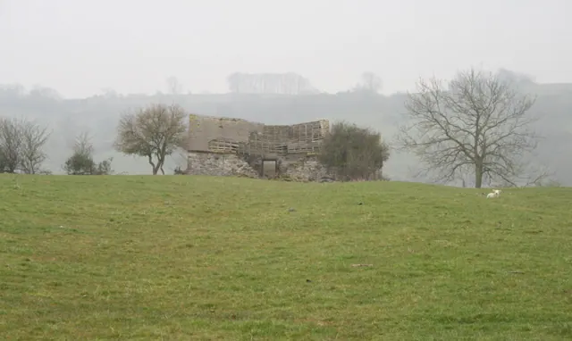
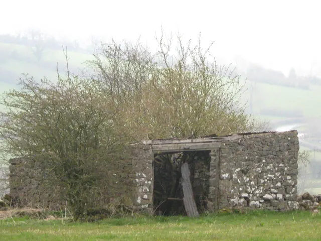
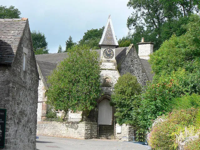
Heritage Around Newton [Grange]
Photographs of churches, listed buildings and monuments in the vicinity, contributed by volunteers to the Geograph project and reused here under a Creative Commons licence.
© David Lally · Geograph · CC BY-SA 2.0
© Anonymous · Geograph · CC BY-SA 2.0
© Mick Lobb · Geograph · CC BY-SA 2.0
Images © their respective photographers, licensed under CC BY-SA 2.0 and reused here with attribution. Photographs depict listed buildings, churches and monuments near this settlement and may show neighbouring villages.
Data derived from the Open Domesday project (opendomesday.org), based on the Domesday Book dataset compiled by Professor J.J.N. Palmer and team. The Domesday Book (1086) is in the public domain.
Found an inaccuracy? [email protected]