Newton in the Domesday Book (1086)
The 1086 Domesday survey records the settlement of Newton, entered under the hundred of Dic in Yorkshire.
Other Settlements in Dic
- Aislaby
- Allerston
- Appleton [le Moors]
- Aschelesmersc
- Aschilesmares
- Barton [le Street]
- Baschebi
- Baschesbi
- Brompton
- Burniston
- Burton [Dale]
- Cawthorn
- Cayton
- Chigogemers
The Meaning of the Name
The name Newton is of Anglo-Saxon origin. Its final element derives from the Old English word tūn, a farmstead or village, while the first element appears to represent the new. Taken together the name probably meant something close to ’the new farmstead’.
Remarkably, the name has changed little since 1086, when the Domesday scribes wrote it as Newton.
Listed Buildings Near Newton
Historic England records 9 listed buildings within about a mile of Newton. Listing protects structures of special architectural or historic interest, graded I (exceptional), II* (particularly important) and II.
Grade II
- Numbers 1 and 2 Church Row - 0.37 km
- White Swan Hotel - 0.37 km
- Barn Approximately 5 Metres South of Buildings Attached to Keld Farmhouse - 0.41 km
- Keld Farmhouse and Attached Outbuildings - 0.42 km
- Low Croft - 0.43 km
- Pond Farmhouse and Attached Barn - 0.43 km
- Numbers 1 and 2 Spring Cottage - 0.44 km
- House Attached to North of Low Croft - 0.44 km
- Station House - 0.56 km
Scheduled Monuments Near Newton
Scheduled monuments are nationally important archaeological sites given legal protection. 7 lie within roughly a mile of Newton:
- Prehistoric field system, medieval rabbit warren and post-medieval mining test pits on Rhumbard Snout - 1.05 km
- Black Howe round barrow - 1.08 km
- Round cairn 510m south of Lower Farm - 1.37 km
- Round barrow 780m north of Grove House - 1.41 km
- Two round cairns 450m south of Lower Farm - 1.42 km
- Round barrow 400m north of Levisham Hall - 1.43 km
- Three medieval pillow mounds 900m north of Grove House - 1.52 km
Newton Today
Today Newton lies within the administrative area of Ryedale, and the settlement recorded a population of 180 at the 2021 census. Nine and a half centuries separate that figure from the small rural community the Domesday survey recorded here in 1086.
Nearby Domesday Settlements
Other places recorded in the 1086 survey within a few miles:
- Levisham - 2.0 km E
- Lockton - 3.0 km E
- High Blandsby - 3.2 km S
- Cawthorn - 4.1 km W
- Low Dalby - 5.0 km SE
- Chiluesmares - 5.0 km NW
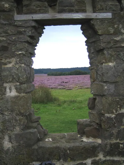
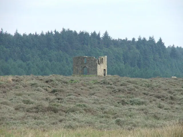
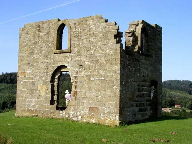
Heritage Around Newton
Photographs of churches, listed buildings and monuments in the vicinity, contributed by volunteers to the Geograph project and reused here under a Creative Commons licence.
© Phil Catterall · Geograph · CC BY-SA 2.0
© Steve Partridge · Geograph · CC BY-SA 2.0
© Andy Beecroft · Geograph · CC BY-SA 2.0
Images © their respective photographers, licensed under CC BY-SA 2.0 and reused here with attribution. Photographs depict listed buildings, churches and monuments near this settlement and may show neighbouring villages.
Data derived from the Open Domesday project (opendomesday.org), based on the Domesday Book dataset compiled by Professor J.J.N. Palmer and team. The Domesday Book (1086) is in the public domain.
Found an inaccuracy? [email protected]