Newton in the Domesday Book (1086)
The 1086 Domesday survey records the settlement of Newton, entered under the hundred of Craven in Yorkshire. The survey assessed Newton at 4.5 carucates of taxable land.
At the time of the survey, Newton supported a recorded population of 19 villagers, 7 smallholders, working 6 ploughs between them.
By 1086 Newton was worth 2 shillings, up from 1.5 shillings before the Conquest – which sets it apart from the many nearby villages left waste or devalued.
Resources Recorded at Newton (1086)
- Mills: 1 mill (valued at 2d)
- Meadow: 2 acres
- Woodland: 10 swine render
Other Settlements in Craven
- Addingham
- Airton
- Anley
- Appletreewick
- Arncliffe
- Arnford
- Barnoldswick
- Bashall [Eaves]
- Battersby [Barn]
- Beamsley
- Birkby [Hall]
- Bogeuurde
- Bolton [Abbey]
- Bolton [by Bowland]
The Meaning of the Name
The name Newton is of Anglo-Saxon origin. Its final element derives from the Old English word tūn, a farmstead or village, while the first element appears to represent the new. Taken together the name probably meant something close to ’the new farmstead’.
Remarkably, the name has changed little since 1086, when the Domesday scribes wrote it as Newton.
Listed Buildings Near Newton
Historic England records 19 listed buildings within about a mile of Newton. Listing protects structures of special architectural or historic interest, graded I (exceptional), II* (particularly important) and II.
Grade II*
- Newton Hall - 0.19 km
Grade II
- Salisbury Hall - 0.07 km
- Gatepiers South East of Salisbury Hall - 0.08 km
- Friends’ Meeting House and Cottage Adjoining to South West - 0.1 km
- The Old Reading Room - 0.1 km
- Crag House - 0.11 km
- East View - 0.12 km
- Lowlands Cottage Newton House - 0.13 km
- Sunnyside - 0.14 km
- Lowlands Farmhouse and Barns Adjoining to North and South - 0.18 km
- Parkers’s Arms - 0.18 km
- Schoolhouse Cottage - 0.2 km
- Wall, Gatepiers and Gates South of Newton Hall - 0.2 km
- The Old School - 0.21 km
- Barn South West of Hydes Farmhouse - 0.23 km
- Hydes Farmhouse - 0.25 km
- Newton Bridge - 0.32 km
- Long Stripes Farmhouse - 0.99 km
- Foulscales - 1.29 km
Newton Today
Today Newton lies within the administrative area of Ribble Valley, and the settlement recorded a population of 287 at the 2021 census. Nine and a half centuries separate that figure from the small rural community the Domesday survey recorded here in 1086.
Read more about modern Newton on Wikipedia .
Nearby Domesday Settlements
Other places recorded in the 1086 survey within a few miles:
- Bogeuurde - 1.0 km E
- Easington - 1.0 km E
- Battersby Barn - 2.2 km NE
- Slaidburn - 2.8 km NE
- Hammerton Hall - 3.6 km NE
- Radholme Laund - 5.8 km SW
Heritage Around Newton
Photographs of churches, listed buildings and monuments in the vicinity, contributed by volunteers to the Geograph project and reused here under a Creative Commons licence.
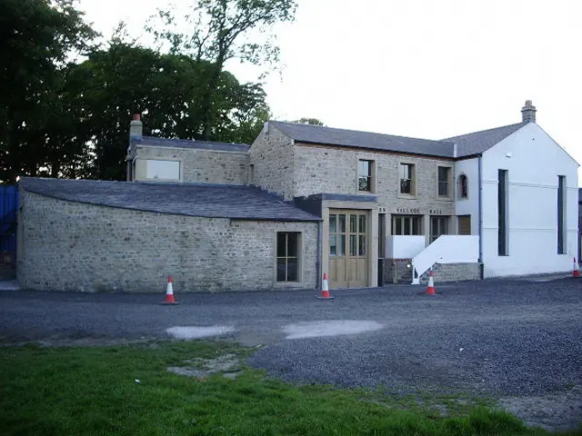
© Alexander P Kapp · Geograph · CC BY-SA 2.0
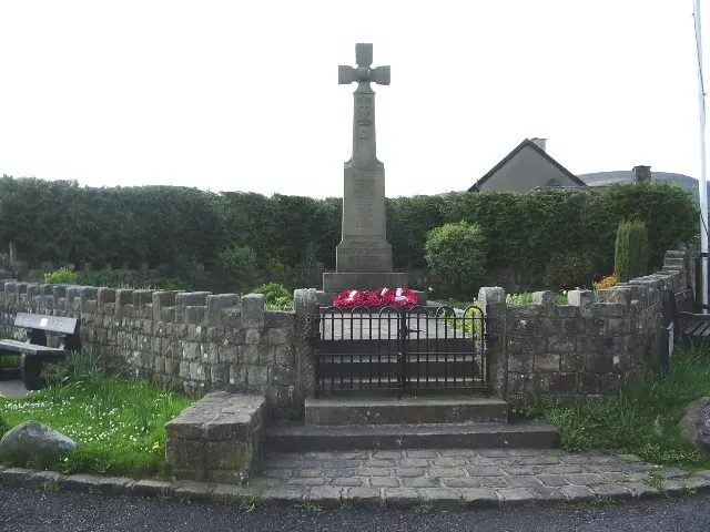
© Alexander P Kapp · Geograph · CC BY-SA 2.0
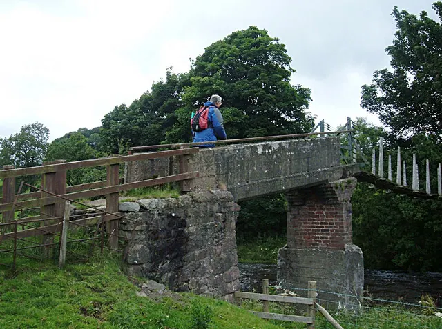
© michael ely · Geograph · CC BY-SA 2.0
Images © their respective photographers, licensed under CC BY-SA 2.0 and reused here with attribution. Photographs depict listed buildings, churches and monuments near this settlement and may show neighbouring villages.
Data derived from the Open Domesday project (opendomesday.org), based on the Domesday Book dataset compiled by Professor J.J.N. Palmer and team. The Domesday Book (1086) is in the public domain.
Found an inaccuracy? [email protected]