Newton by Chester in the Domesday Book (1086)
The settlement of Newton by Chester is recorded in William I’s Domesday survey of 1086, entered under the hundred of Chester in Cheshire.
Other Settlements in Chester
The Meaning of the Name
The name Newton by Chester is of Anglo-Saxon origin. Its final element derives from the Old English word tūn, a farmstead or village, while the first element appears to represent the new. Taken together the name probably meant something close to ’the new farmstead’.
Remarkably, the name has changed little since 1086, when the Domesday scribes wrote it as Newton by Chester.
Listed Buildings Near Newton by Chester
Historic England records 23 listed buildings within about a mile of Newton by Chester. Listing protects structures of special architectural or historic interest, graded I (exceptional), II* (particularly important) and II.
Grade II*
- Newton Hall - 0.14 km
Grade II
- Garden Wall and Gate Piers to Newton Hall - 0.15 km
- Parish Boundary Stone 25 Metres North of Footbridge Over Long Lane - 0.69 km
- Upton Mill - 0.82 km
- Upton and District War Memorial Cross - 0.85 km
- Rose Cottage - 0.92 km
- 102A, Hoole Road - 0.93 km
- Church of All Saints - 1.0 km
- Gates and Churchyard Wall to Church of All Saints - 1.0 km
- Church of the Holy Ascension - 1.01 km
- 51 and 53, Hoole Road - 1.1 km
- 13, 15 and 17, Hamilton Street - 1.13 km
- 1, DERBY PLACE (See details for further address information) - 1.15 km
- 19 and 21, Hamilton Street - 1.15 km
- 4 and 6, Derby Place - 1.16 km
- 3 and 5, Derby Place - 1.17 km
- War Memorial - 1.17 km
- 23 and 25, Hamilton Street - 1.17 km
- 27 and 29, Hamilton Street - 1.18 km
- 7, 9 and 11, Derby Place - 1.19 km
- Poplar House - 1.21 km
- 41 and 43, Hamilton Street - 1.26 km
- Rose Cottage - 1.3 km
Scheduled Monuments Near Newton by Chester
Scheduled monuments are nationally important archaeological sites given legal protection. 6 lie within roughly a mile of Newton by Chester:
- Roman camp 300m west of Upton Grange Farm - 0.83 km
- Roman camp at Upton Heath, beside the water tower north of Long Lane - 1.05 km
- Moated site at Upton Grange, Upton - 1.06 km
- Roman camp at Upton, 400m east of the water tower north of Long Lane - 1.21 km
- Roman camp at Upton, 350m north east of the water tower north of Long Lane - 1.43 km
- Part of a Roman camp at Hoole 200m south of Hoole Hall - 1.53 km
Newton by Chester Today
Today Newton by Chester lies within the administrative area of Cheshire West and Chester, and the settlement recorded a population of 9,556 at recent figures. Nine and a half centuries separate that figure from the small rural community the Domesday survey recorded here in 1086.
Read more about modern Newton on Wikipedia .
Nearby Domesday Settlements
Other places recorded in the 1086 survey within a few miles:
- Upton by Chester - 1.4 km NW
- Redcliff - 2.0 km S
- Chester - 2.2 km SW
- Mollington - 2.8 km NW
- Guilden Sutton - 3.0 km E
- Wervin - 3.0 km N
Heritage Around Newton [by Chester]
Photographs of churches, listed buildings and monuments in the vicinity, contributed by volunteers to the Geograph project and reused here under a Creative Commons licence.
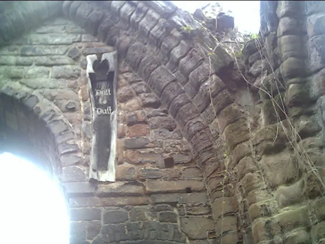
© chestertouristcom · Geograph · CC BY-SA 2.0
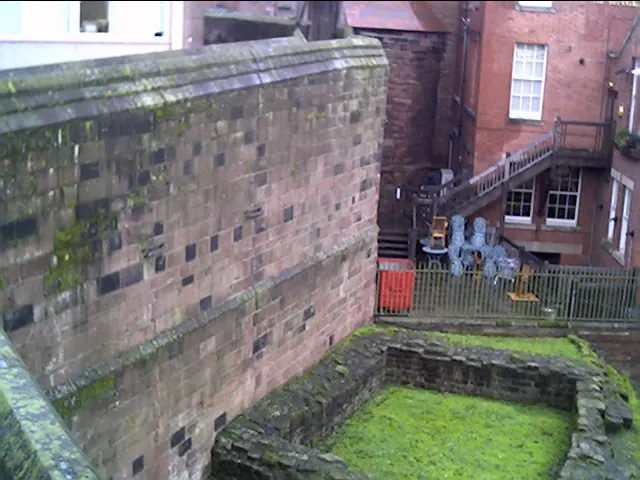
© chestertouristcom · Geograph · CC BY-SA 2.0
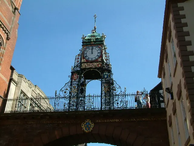
© Peter Hodge · Geograph · CC BY-SA 2.0
Images © their respective photographers, licensed under CC BY-SA 2.0 and reused here with attribution. Photographs depict listed buildings, churches and monuments near this settlement and may show neighbouring villages.
Data derived from the Open Domesday project (opendomesday.org), based on the Domesday Book dataset compiled by Professor J.J.N. Palmer and team. The Domesday Book (1086) is in the public domain.
Found an inaccuracy? [email protected]