Newsholme in the Domesday Book (1086)
Newsholme is named in the Domesday Book, compiled by Norman commissioners in 1086, entered under the hundred of Craven in Yorkshire. The survey assessed Newsholme at 1.2 carucates of taxable land.
At the time of the survey, Newsholme supported a recorded population of 3 villagers, 5 smallholders, 1 slave, working 3 ploughs between them.
The survey records Newsholme’s value at 14d in 1086. No pre-Conquest figure survives – not unusual in the North, where records were disrupted by the Harrying and by the patchy coverage of the survey.
Resources Recorded at Newsholme (1086)
- Pigs: 1
- Sheep: 9
Other Settlements in Craven
- Addingham
- Airton
- Anley
- Appletreewick
- Arncliffe
- Arnford
- Barnoldswick
- Bashall [Eaves]
- Battersby [Barn]
- Beamsley
- Birkby [Hall]
- Bogeuurde
- Bolton [Abbey]
- Bolton [by Bowland]
The Meaning of the Name
The name Newsholme is of Scandinavian origin. Its final element derives from the Old Norse word holmr, an island or patch of raised ground in marsh, while the first element appears to represent the new. Taken together the name probably meant something close to ’the new island’.
Names of this type are a fingerprint of Scandinavian settlement: they cluster across the old Danelaw, where Norse-speaking settlers renamed or founded villages from the late 9th century onward.
Remarkably, the name has changed little since 1086, when the Domesday scribes wrote it as Newsholme.
Listed Buildings Near Newsholme
Historic England records 31 listed buildings within about a mile of Newsholme. Listing protects structures of special architectural or historic interest, graded I (exceptional), II* (particularly important) and II.
Grade II
- Slack Lane Baptist Church - 0.24 km
- Gates and Gatepiers to Slack Lane Baptist Church - 0.26 km
- Lower Laithe - 0.32 km
- Green End Farmhouse - 0.58 km
- Church Farmhouse with Church and Sunday School - 0.64 km
- 120-124, Commercial Street - 0.67 km
- Ridge Cottage White Rose Cottage Willow Cottage - 0.68 km
- Holme House Farmhouse - 0.71 km
- Holme House Farmhouse - 0.75 km
- 14-20, Colne Road - 0.76 km
- Christ Church - 0.8 km
- 1-47, Bridge Street - 0.86 km
- Milepost - 0.94 km
- Oakworth Hall (Now Incorporates Numbers 69 and 71) - 0.95 km
- Clough House Farmhouse - 0.99 km
- Footbridge Approximately 17 Metres to South West of Rag Mill - 1.07 km
- 30, 32 and 34, Goose Eye - 1.09 km
- Gatepiers to Holden Park With Flanking Wall, 4 Piers and Gateway to Left and 5 Piers and 3 Gatepiers to Right - 1.09 km
- Gatepiers and Gates With Flanking Wall and 9 Piers to Left and Same to Right - 1.1 km
- Goose Eye Bridge - 1.12 km
- 22, Goose Eye - 1.13 km
- K1 Telephone Kiosk, Newsholme Dean - 1.13 km
- K6 Telephone Kiosk to S of Number 16 - 1.17 km
- Milepost on North Side of Junction With Apsley Road - 1.17 km
…and 7 more listed structures in the area.
Newsholme Today
Today Newsholme lies within the administrative area of Keighley.
Read more about modern Newsholme on Wikipedia .
Nearby Domesday Settlements
Other places recorded in the 1086 survey within a few miles:
Heritage Around Newsholme
Photographs of churches, listed buildings and monuments in the vicinity, contributed by volunteers to the Geograph project and reused here under a Creative Commons licence.
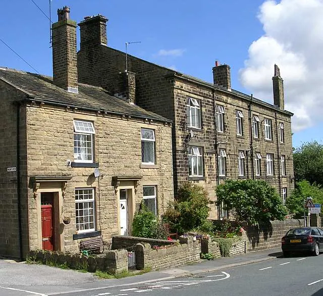
© Betty Longbottom · Geograph · CC BY-SA 2.0
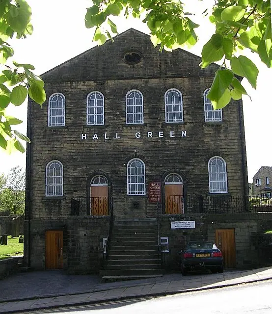
© Betty Longbottom · Geograph · CC BY-SA 2.0
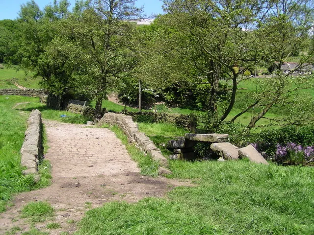
© John Readman · Geograph · CC BY-SA 2.0
Images © their respective photographers, licensed under CC BY-SA 2.0 and reused here with attribution. Photographs depict listed buildings, churches and monuments near this settlement and may show neighbouring villages.
Data derived from the Open Domesday project (opendomesday.org), based on the Domesday Book dataset compiled by Professor J.J.N. Palmer and team. The Domesday Book (1086) is in the public domain.
Found an inaccuracy? [email protected]