Newsham in the Domesday Book (1086)
Newsham appears in the Domesday Book of 1086, entered under the hundred of Yarlestre in Yorkshire.
Other Settlements in Yarlestre
- Arden [Hall]
- Asenby
- Bagby
- Baxby
- Bergebi
- Berghebi
- Bernebi
- Boltby
- Breckenbrough
- Carlton [Husthwaite]
- Carlton [Miniott]
- Catton
- Coxwold
- Crakehill
The Meaning of the Name
The name Newsham is of Anglo-Saxon origin. Its final element derives from the Old English word hām, a homestead or village, while the first element appears to represent the new. Taken together the name probably meant something close to ’the new homestead’.
Remarkably, the name has changed little since 1086, when the Domesday scribes wrote it as Newsham.
Listed Buildings Near Newsham
Historic England records 9 listed buildings within about a mile of Newsham. Listing protects structures of special architectural or historic interest, graded I (exceptional), II* (particularly important) and II.
Grade II*
- Sion Hill Hall and Attached Courtyard Wall - 0.27 km
- Church of St John the Baptist - 0.35 km
Grade II
- Daffodil Cottage - 0.31 km
- Kirby Bridge - 0.33 km
- Kirby Bridge - 0.33 km
- Medieval Cross Approximately 10 Metres to South of Nave of Church of St John the Baptist - 0.34 km
- Lodge to Sion Hill Hall - 0.39 km
- Newsham Grange Farmhouse - 0.39 km
- The Mount - 0.4 km
Newsham Today
Today Newsham lies within the administrative area of Newsham with Breckenbrough.
Nearby Domesday Settlements
Other places recorded in the 1086 survey within a few miles:
- Kirby Wiske - 0.0 km N
- Breckenbrough - 1.4 km SE
- Sand Hutton - 2.2 km SE
- Holme - 2.8 km SW
- South Otterington - 3.0 km N
- Pickhill - 3.2 km W
Heritage Around Newsham
Photographs of churches, listed buildings and monuments in the vicinity, contributed by volunteers to the Geograph project and reused here under a Creative Commons licence.
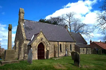
© Bill Henderson · Geograph · CC BY-SA 2.0
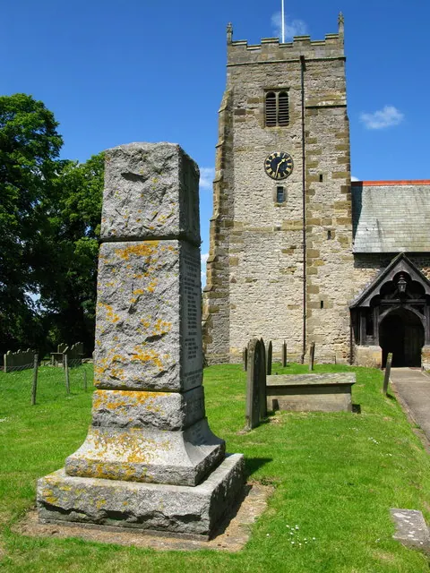
© David Rogers · Geograph · CC BY-SA 2.0
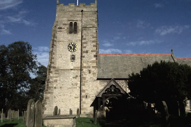
© Chris Heaton · Geograph · CC BY-SA 2.0
Images © their respective photographers, licensed under CC BY-SA 2.0 and reused here with attribution. Photographs depict listed buildings, churches and monuments near this settlement and may show neighbouring villages.
Data derived from the Open Domesday project (opendomesday.org), based on the Domesday Book dataset compiled by Professor J.J.N. Palmer and team. The Domesday Book (1086) is in the public domain.
Found an inaccuracy? [email protected]