Newsham in the Domesday Book (1086)
Newsham appears in the Domesday Book of 1086, entered under the hundred of Amounderness in Yorkshire.
Other Settlements in Amounderness
- Aighton
- Aldcliffe
- Aldingham
- Arkholme
- Aschebi
- Ashton [Hall]
- Ashton [on Ribble]
- Austwick
- Barbon
- Bardsea
- Bare
- Barnoldswick
- Barton
- Beetham
The Meaning of the Name
The name Newsham is of Anglo-Saxon origin. Its final element derives from the Old English word hām, a homestead or village, while the first element appears to represent the new. Taken together the name probably meant something close to ’the new homestead’.
Remarkably, the name has changed little since 1086, when the Domesday scribes wrote it as Newsham.
Listed Buildings Near Newsham
Historic England records 9 listed buildings within about a mile of Newsham. Listing protects structures of special architectural or historic interest, graded I (exceptional), II* (particularly important) and II.
Grade II
- Milestone on West Side of Road Opposite Number 650 - 0.28 km
- Church of Saint Lawrence - 0.75 km
- Hollowforth Aqueduct Bridge Number 38 - 0.93 km
- Hankinson Bridge (Number 40) - 0.94 km
- Lancaster Canal Hepgreave Bridge Number 39 - 0.95 km
- Park Head Bridge (Number 41) - 1.15 km
- Barn Circa 30 Metres East of Moons Farmhouse - 1.23 km
- Hollowforth Hall - 1.24 km
- Moon’s Farmhouse - 1.26 km
Newsham Today
Today Newsham lies within the administrative area of Woodplumpton.
Nearby Domesday Settlements
Other places recorded in the 1086 survey within a few miles:
- Barton - 1.0 km N
- Threlfall’s Farm - 2.2 km SE
- Broughton - 2.2 km SE
- Woodplumpton - 2.8 km SW
- Whittingham Hall - 3.0 km E
- Goosnargh - 4.0 km E
Heritage Around Newsham
Photographs of churches, listed buildings and monuments in the vicinity, contributed by volunteers to the Geograph project and reused here under a Creative Commons licence.
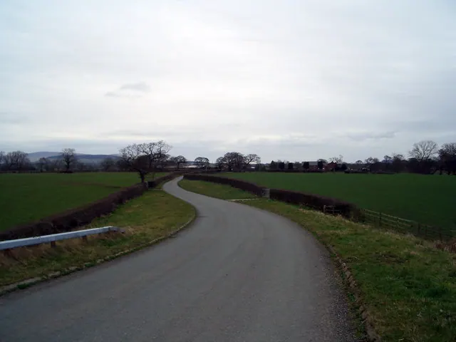
© Keith Wright · Geograph · CC BY-SA 2.0
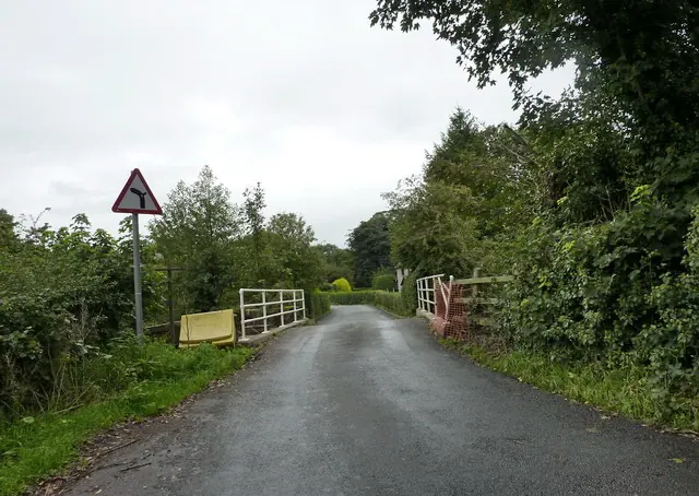
© Alexander P Kapp · Geograph · CC BY-SA 2.0
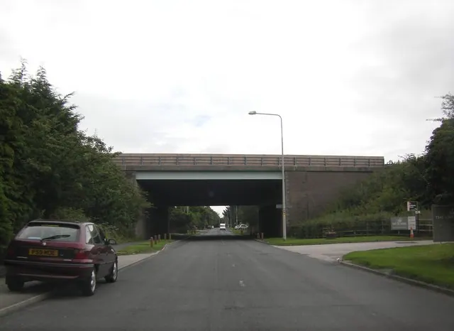
© Peter Bond · Geograph · CC BY-SA 2.0
Images © their respective photographers, licensed under CC BY-SA 2.0 and reused here with attribution. Photographs depict listed buildings, churches and monuments near this settlement and may show neighbouring villages.
Data derived from the Open Domesday project (opendomesday.org), based on the Domesday Book dataset compiled by Professor J.J.N. Palmer and team. The Domesday Book (1086) is in the public domain.
Found an inaccuracy? [email protected]