Newsham in the Domesday Book (1086)
Newsham appears in the Domesday Book of 1086, entered under the hundred of Amounderness in Yorkshire.
Other Settlements in Amounderness
- Aighton
- Aldcliffe
- Aldingham
- Arkholme
- Aschebi
- Ashton [Hall]
- Ashton [on Ribble]
- Austwick
- Barbon
- Bardsea
- Bare
- Barnoldswick
- Barton
- Beetham
The Meaning of the Name
The name Newsham is of Anglo-Saxon origin. Its final element derives from the Old English word hām, a homestead or village, while the first element appears to represent the new. Taken together the name probably meant something close to ’the new homestead’.
Remarkably, the name has changed little since 1086, when the Domesday scribes wrote it as Newsham.
Listed Buildings Near Newsham
Historic England records 11 listed buildings within about a mile of Newsham. Listing protects structures of special architectural or historic interest, graded I (exceptional), II* (particularly important) and II.
Grade I
- Lancaster Canal Lune Aqueduct - 0.61 km
Grade II
- Piers, Walls and Railings to Carus Lodge, Adjoining Carus Lodge Cottage - 0.22 km
- Carus Lodge Cottage - 0.22 km
- Carus Lodge - 0.31 km
- Halton Road Bridge (Number 108) - 0.56 km
- Beaumont Grange - 0.66 km
- Beaumont Hall - 0.9 km
- Beaumont Hall Bridge (Number 109) - 0.93 km
- Milestone 350 Metres North of Beaumont Gate Farm at Ngr Sd 476 644 - 0.94 km
- Workshop at Croskell’s Farm Approximately 2.0 Metres West of Farmhouse - 1.01 km
- Pair of Gatepiers to Former Halton Hall - 1.28 km
Scheduled Monuments Near Newsham
Scheduled monuments are nationally important archaeological sites given legal protection. 2 lie within roughly a mile of Newsham:
- High cross in St Wilfrid’s churchyard, Halton - 1.34 km
- Castle Hill motte and bailey, Halton - 1.41 km
Nearby Domesday Settlements
Other places recorded in the 1086 survey within a few miles:
- Slyne - 1.4 km NW
- Skerton - 1.4 km SW
- Halton - 2.0 km E
- Bolton le Sands - 3.0 km N
- Stapleton Terne - 3.0 km N
- Lancaster - 3.0 km S
Heritage Around Newsham
Photographs of churches, listed buildings and monuments in the vicinity, contributed by volunteers to the Geograph project and reused here under a Creative Commons licence.
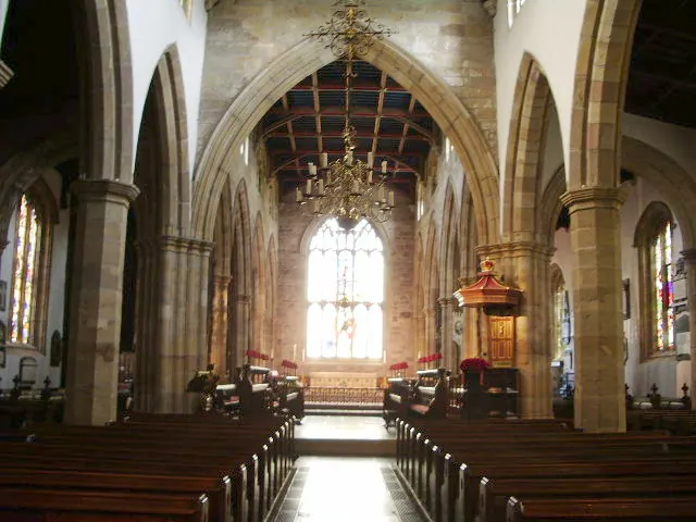
© Alexander P Kapp · Geograph · CC BY-SA 2.0
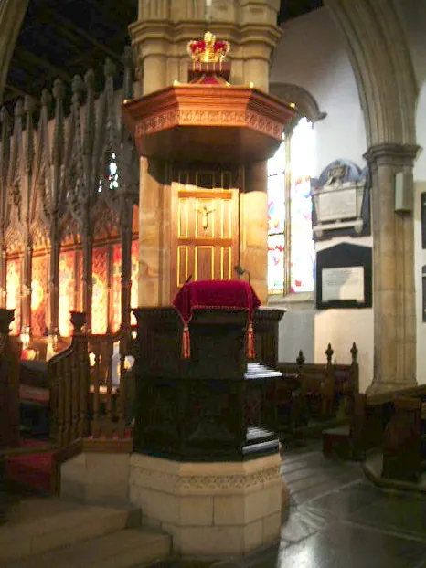
© Alexander P Kapp · Geograph · CC BY-SA 2.0
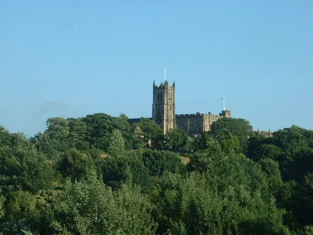
© David Medcalf · Geograph · CC BY-SA 2.0
Images © their respective photographers, licensed under CC BY-SA 2.0 and reused here with attribution. Photographs depict listed buildings, churches and monuments near this settlement and may show neighbouring villages.
Data derived from the Open Domesday project (opendomesday.org), based on the Domesday Book dataset compiled by Professor J.J.N. Palmer and team. The Domesday Book (1086) is in the public domain.
Found an inaccuracy? [email protected]