Newholm in the Domesday Book (1086)
The 1086 Domesday survey records the settlement of Newholm, entered under the hundred of Langbaurgh in Yorkshire.
Other Settlements in Langbaurgh
- Acklam
- Airy [Holme]
- Aislaby
- Arnodestorp
- Baldebi
- Barnaby
- Barwick
- Battersby
- Bergolbi
- Berguluesbi
- Blaten [Carr]
- Borrowby
- Breck
- Brotton
The Meaning of the Name
The name Newholm is of Scandinavian origin. Its final element derives from the Old Norse word holmr, an island or dry ground in marsh, while the first element appears to represent the new. Taken together the name probably meant something close to ’the new island’.
Names of this type are a fingerprint of Scandinavian settlement: they cluster across the old Danelaw, where Norse-speaking settlers renamed or founded villages from the late 9th century onward.
Remarkably, the name has changed little since 1086, when the Domesday scribes wrote it as Newholm.
Listed Buildings Near Newholm
Historic England records 17 listed buildings within about a mile of Newholm. Listing protects structures of special architectural or historic interest, graded I (exceptional), II* (particularly important) and II.
Grade II*
- Ewe Cote Hall - 1.28 km
- Garden Walls to Ewe Cote Hall - 1.28 km
Grade II
- Methodist Church - 0.06 km
- Ye Olde Beehive Inn - 0.07 km
- Manor Farmhouse - 0.07 km
- Greystone Farmhouse - 0.5 km
- Newholm Hall - 1.01 km
- Farm Buildings to Cross Butts - 1.04 km
- Cross Butts - 1.04 km
- Fairfax Farm House - 1.14 km
- Low Heulah Cottage - 1.17 km
- The Cottages - 1.22 km
- Garden Wall to Ewe Cote Cottage - 1.23 km
- Ewe Cote Cottage - 1.24 km
- Stables to Ewe Cote Hall - 1.25 km
- Ewe Cote Hall Farmhouse - 1.25 km
- Dovecote and Outbuildings to Ewe Cote Hall - 1.27 km
Newholm Today
Today Newholm lies within the administrative area of Newholm-cum-Dunsley.
Nearby Domesday Settlements
Other places recorded in the 1086 survey within a few miles:
- Dunsley - 1.4 km NW
- High Stakesby - 2.0 km E
- Aislaby - 2.2 km SW
- Hutton Mulgrave - 3.0 km W
- Eskdaleside - 3.0 km S
- Flowergate - 3.2 km E
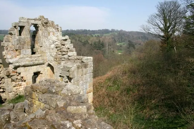
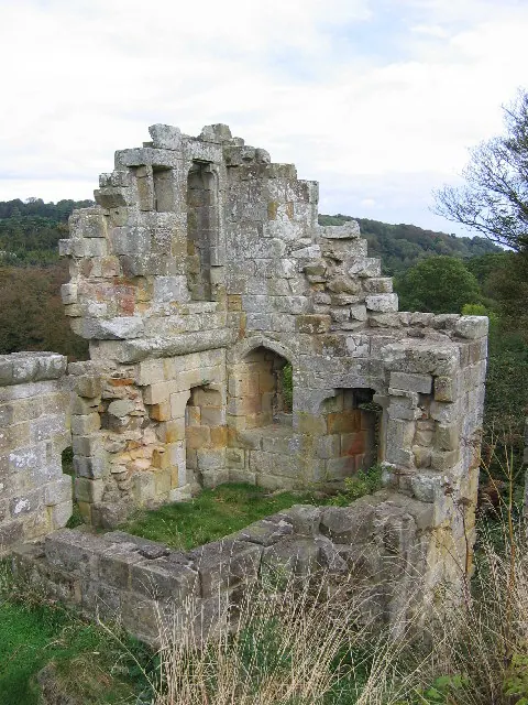
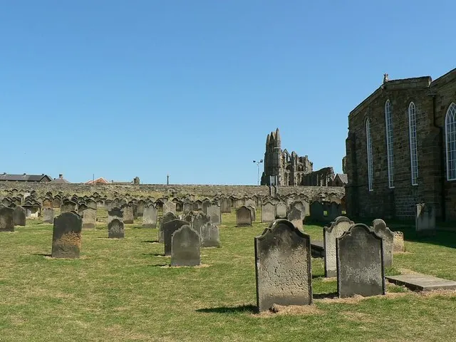
Heritage Around Newholm
Photographs of churches, listed buildings and monuments in the vicinity, contributed by volunteers to the Geograph project and reused here under a Creative Commons licence.
© Mick Garratt · Geograph · CC BY-SA 2.0
© Stephen Horncastle · Geograph · CC BY-SA 2.0
© Rich Tea · Geograph · CC BY-SA 2.0
Images © their respective photographers, licensed under CC BY-SA 2.0 and reused here with attribution. Photographs depict listed buildings, churches and monuments near this settlement and may show neighbouring villages.
Data derived from the Open Domesday project (opendomesday.org), based on the Domesday Book dataset compiled by Professor J.J.N. Palmer and team. The Domesday Book (1086) is in the public domain.
Found an inaccuracy? [email protected]