Newhill in the Domesday Book (1086)
Newhill appears in the Domesday Book of 1086, entered under the hundred of Strafforth in Yorkshire.
Other Settlements in Strafforth
- Adwick [le Street]
- Adwick [upon Dearne]
- Armthorpe
- Aston
- Attercliffe
- Auckley
- Aughton [Hall]
- Austerfield
- Balby
- Barnbrough
- Barnby [Dun]
- Bentley
- Bilham [House]
- Billingley
The Meaning of the Name
The origin of the name Newhill is not securely established from its modern form alone; like many settlement names in the North it likely combines an Old English or Old Norse personal name with a landscape term.
Remarkably, the name has changed little since 1086, when the Domesday scribes wrote it as Newhill.
Listed Buildings Near Newhill
Historic England records 5 listed buildings within about a mile of Newhill. Listing protects structures of special architectural or historic interest, graded I (exceptional), II* (particularly important) and II.
Grade II*
- Rockingham Kiln - 0.79 km
Grade II
- Mausoleum on East Side of Newhill Park - 0.9 km
- Milepost Approximately 45 Metres South West of Junction With Abdy Lane - 0.98 km
- Hall Farmhouse - 0.99 km
- 44 and 46 Sandygate - 1.27 km
Scheduled Monuments Near Newhill
Scheduled monuments are nationally important archaeological sites given legal protection. 5 lie within roughly a mile of Newhill:
- Roman Ridge: section 400yds (370m) long in Wath Wood - 0.52 km
- Swinton Pottery (The Rockingham Works), 310m and 120m north west of Keeper’s Cottage - 0.8 km
- Roman Ridge: section 400yds (370m) long S of Abdy Farm - 1.18 km
- Roman Ridge: section 140yds (130m) long in Dyson’s Plantation - 1.51 km
- Roman Ridge: section 300yds (270m) long N of Birchwood (E of Chemical Cottages) - 1.52 km
Nearby Domesday Settlements
Other places recorded in the 1086 survey within a few miles:
- Wath upon Dearne - 1.0 km N
- Swinton - 2.0 km E
- West Melton - 2.2 km NW
- Brampton Bierlow - 2.8 km NW
- Eldeberge - 2.8 km NW
- Rawmarsh - 3.0 km S
Heritage Around Newhill
Photographs of churches, listed buildings and monuments in the vicinity, contributed by volunteers to the Geograph project and reused here under a Creative Commons licence.
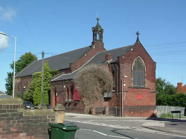
© David Wilkinson · Geograph · CC BY-SA 2.0
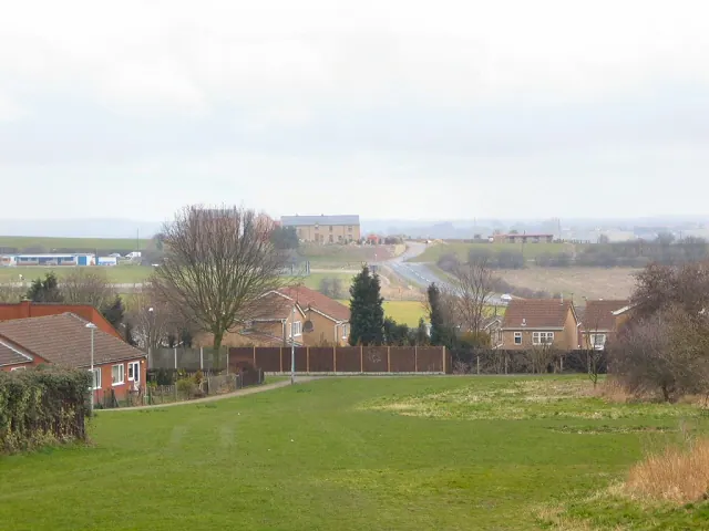
© Roger May · Geograph · CC BY-SA 2.0
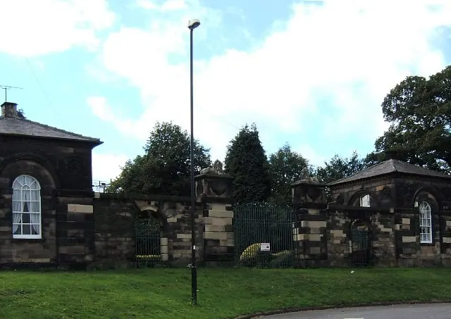
© Pat Cresswell · Geograph · CC BY-SA 2.0
Images © their respective photographers, licensed under CC BY-SA 2.0 and reused here with attribution. Photographs depict listed buildings, churches and monuments near this settlement and may show neighbouring villages.
Data derived from the Open Domesday project (opendomesday.org), based on the Domesday Book dataset compiled by Professor J.J.N. Palmer and team. The Domesday Book (1086) is in the public domain.
Found an inaccuracy? [email protected]