Newham Hall in the Domesday Book (1086)
The settlement of Newham Hall is recorded in William I’s Domesday survey of 1086, entered under the hundred of Langbaurgh in Yorkshire.
Other Settlements in Langbaurgh
- Acklam
- Airy [Holme]
- Aislaby
- Arnodestorp
- Baldebi
- Barnaby
- Barwick
- Battersby
- Bergolbi
- Berguluesbi
- Blaten [Carr]
- Borrowby
- Breck
- Brotton
The Meaning of the Name
The name Newham Hall is of Anglo-Saxon origin. Its final element derives from the Old English word hām, a homestead or village, while the first element appears to represent the new. Taken together the name probably meant something close to ’the new homestead’.
Remarkably, the name has changed little since 1086, when the Domesday scribes wrote it as Newham Hall.
Listed Buildings Near Newham Hall
Historic England records 5 listed buildings within about a mile of Newham Hall. Listing protects structures of special architectural or historic interest, graded I (exceptional), II* (particularly important) and II.
Grade II
- Newham Hall, Retaining Wall and Steps - 0.29 km
- Newham Hall Lodge - 0.57 km
- Gate, Gatepiers and Walls at Entrance to Newham Hall - 0.58 km
- Barn, Horse-mill, Stable and Cartshed, C.10m North-west of Bonny Grove Farmhouse - 0.81 km
- Former Bonny Grove Farmhouse - 0.83 km
Nearby Domesday Settlements
Other places recorded in the 1086 survey within a few miles:
- Coulby - 1.0 km W
- Hemlington - 1.4 km NW
- Tunstall Farm - 1.4 km SE
- Marton in Cleveland - 2.0 km N
- Nunthorpe - 3.0 km E
- Tollesby - 3.0 km N
Heritage Around Newham [Hall]
Photographs of churches, listed buildings and monuments in the vicinity, contributed by volunteers to the Geograph project and reused here under a Creative Commons licence.
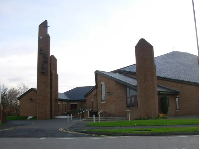
© Gordon Elliott · Geograph · CC BY-SA 2.0
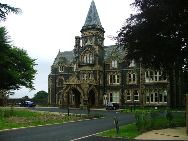
© Mick Garratt · Geograph · CC BY-SA 2.0
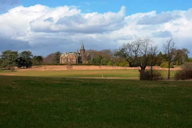
© Mick Garratt · Geograph · CC BY-SA 2.0
Images © their respective photographers, licensed under CC BY-SA 2.0 and reused here with attribution. Photographs depict listed buildings, churches and monuments near this settlement and may show neighbouring villages.
Data derived from the Open Domesday project (opendomesday.org), based on the Domesday Book dataset compiled by Professor J.J.N. Palmer and team. The Domesday Book (1086) is in the public domain.
Found an inaccuracy? [email protected]