Newbold and Upper Newbold in the Domesday Book (1086)
Newbold and Upper Newbold appears in the Domesday Book of 1086, entered under the hundred of Scarsdale in Derbyshire. The survey assessed Newbold and Upper Newbold at 3 carucates of taxable land.
At the time of the survey, Newbold and Upper Newbold supported a recorded population of 12 villagers, 2 smallholders, 8 slaves, working 5 ploughs between them.
The survey records Newbold and Upper Newbold’s value at 3 shillings in 1086. No pre-Conquest figure survives – not unusual in the North, where records were disrupted by the Harrying and by the patchy coverage of the survey.
Resources Recorded at Newbold and Upper Newbold (1086)
- Cattle: 13
- Pigs: 17
- Sheep: 155
- Horses (cobs): 1
- Meadow: 10 acres
- Woodland: 1 * 1 leagues
Other Settlements in Scarsdale
- Alfreton
- Ashover
- Barlborough
- Barlow
- Beighton
- Blingsby
- Bolsover
- Boythorpe
- Bramley [Vale]
- Brimington
- Calow
- Chesterfield
- Clowne
- Dore
The Meaning of the Name
The origin of the name Newbold and Upper Newbold is not securely established from its modern form alone; like many settlement names in the North it likely combines an Old English or Old Norse personal name with a landscape term.
Remarkably, the name has changed little since 1086, when the Domesday scribes wrote it as Newbold and Upper Newbold.
Listed Buildings Near Newbold and Upper Newbold
Historic England records 12 listed buildings within about a mile of Newbold and Upper Newbold. Listing protects structures of special architectural or historic interest, graded I (exceptional), II* (particularly important) and II.
Grade II*
- Cutthorpe Hall - 1.2 km
Grade II
- Fields Farmhouse - 0.19 km
- Newbold Fields - 0.57 km
- Cowsheds to North of Holme Hall Farmhouse - 1.03 km
- Holme Hall Farmhouse - 1.07 km
- The Old House - 1.15 km
- Farm Outbuilding to the South of Hall Farmhouse - 1.16 km
- The Old Barracks - 1.16 km
- Range of Farm Outbuildings to the North and North West of Cutthorpe Hall - 1.18 km
- The Dower House - 1.19 km
- Garden Walls and Gatepiers to South East of Cutthorpe Hall - 1.2 km
- Dunston Grange Farmhouse - 1.2 km
Newbold and Upper Newbold Today
Today Newbold and Upper Newbold lies within the administrative area of Chesterfield, and the settlement recorded a population of 7,962 at recent figures. Nine and a half centuries separate that figure from the small rural community the Domesday survey recorded here in 1086.
Read more about modern Newbold on Wikipedia .
Nearby Domesday Settlements
Other places recorded in the 1086 survey within a few miles:
- Holme - 1.4 km SW
- Great Barlow - 1.4 km NW
- Old Brampton - 2.8 km SW
- Old Whittington - 3.2 km E
- Chesterfield - 3.6 km SE
- Walton - 4.0 km S
Heritage Around Newbold and [Upper] Newbold
Photographs of churches, listed buildings and monuments in the vicinity, contributed by volunteers to the Geograph project and reused here under a Creative Commons licence.
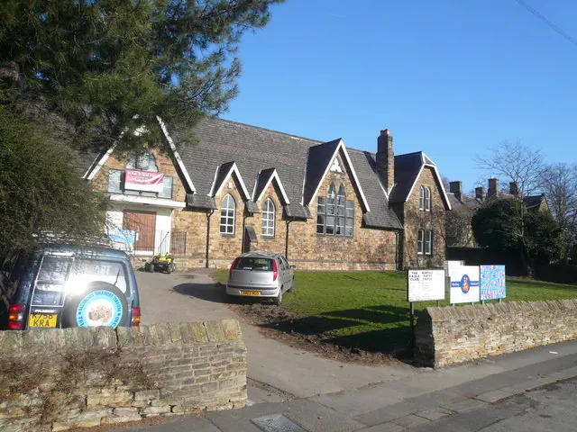
© Alan Heardman · Geograph · CC BY-SA 2.0
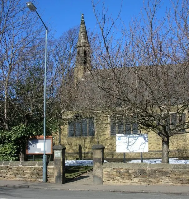
© Andrew Loughran · Geograph · CC BY-SA 2.0
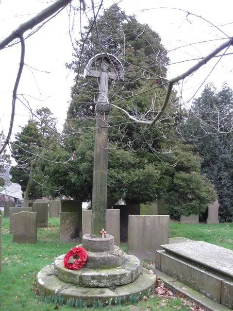
© Alan Heardman · Geograph · CC BY-SA 2.0
Images © their respective photographers, licensed under CC BY-SA 2.0 and reused here with attribution. Photographs depict listed buildings, churches and monuments near this settlement and may show neighbouring villages.
Data derived from the Open Domesday project (opendomesday.org), based on the Domesday Book dataset compiled by Professor J.J.N. Palmer and team. The Domesday Book (1086) is in the public domain.
Found an inaccuracy? [email protected]