Netherleigh in the Domesday Book (1086)
The 1086 Domesday survey records the settlement of Netherleigh, entered under the hundred of Chester in Cheshire. The survey assessed Netherleigh at 143 carucates of taxable land.
Most significantly, Netherleigh is recorded as waste in 1086 - land rendered uninhabitable and valueless. Before the Conquest, the settlement had been assessed at 82 shillings; by 1086 that value had collapsed entirely. This pattern - prosperity before 1066, devastation by 1086 - is the unmistakable signature of the Harrying of the North , William I’s campaign of systematic destruction across Yorkshire in 1069–70.
The survey lists 2 manors at Netherleigh under different lords. Splitting a single settlement between multiple tenants was common across the North – Saxon estates broken up and handed to William’s followers after 1066.
Resources Recorded at Netherleigh (1086)
- Meadow: 6 acres
- Woodland: 5 * 5 None
Other Settlements in Chester
The Meaning of the Name
The name Netherleigh is of Anglo-Saxon origin. Its final element derives from the Old English word lēah, a woodland clearing or glade, while the first element appears to represent the lower. Taken together the name probably meant something close to ’the lower clearing’.
Remarkably, the name has changed little since 1086, when the Domesday scribes wrote it as Netherleigh.
Listed Buildings Near Netherleigh
Historic England records 367 listed buildings within about a mile of Netherleigh. Listing protects structures of special architectural or historic interest, graded I (exceptional), II* (particularly important) and II.
Grade II*
- Walmoor House - 0.65 km
Grade II
- 15 and 17, Victoria Pathway - 0.49 km
- 8 and 10, St Johns Road - 0.51 km
- 11 and 13, Victoria Pathway - 0.51 km
- 16 and 18, Victoria Pathway - 0.51 km
- 12 and 14, Victoria Pathway - 0.52 km
- 4 and 6, St Johns Road - 0.53 km
- 7 and 9, Victoria Pathway - 0.53 km
- 6, 8 and 10, Victoria Pathway - 0.54 km
- 3 and 5, Victoria Pathway - 0.55 km
- 31 (Beauford Lodge) and 33 (Douglas House) and front garden walls and gate piers - 0.55 km
- 2 and 4, Victoria Pathway - 0.57 km
- Manor House - 0.59 km
- Well in Garden 25 Metres South of Walmoor House - 0.61 km
- The Carlton Tavern - 0.62 km
- Redcliff, With Walls, Piers and Garden Structures - 0.64 km
- 13, 15 and 17, Lower Park Road - 0.64 km
- Tavenor Tower - 0.67 km
- Fernrock Kinders - 0.68 km
- Trafford House - 0.73 km
- Grove Cottage - 0.78 km
- Grosvenor Rowing Club Boathouse (The East Boathouse) - 0.78 km
- Billy Hobbys Well - 0.8 km
- Riverside and Quay Wall and Steps - 0.8 km
…and 343 more listed structures in the area.
Scheduled Monuments Near Netherleigh
Scheduled monuments are nationally important archaeological sites given legal protection. 9 lie within roughly a mile of Netherleigh:
- Dee Bridge - 0.91 km
- Roman quarry including Edgar’s Cave and the rock-cut figure of Minerva on Edgar’s Field, 150m south west of Dee Bridge - 0.93 km
- St John’s Church (ruined portions) - 0.94 km
- Roman amphitheatre (southern part) - 1.02 km
- Chester Castle (part) - 1.17 km
- The walls, towers, gates and posterns of the City of Chester - 1.38 km
- St Nicholas’ Chapel - 1.39 km
- Abbey Green Roman site - 1.57 km
- The Little Abbey Gateway, Northgate Street - 1.57 km
Netherleigh Today
Today Netherleigh lies within the administrative area of Cheshire West and Chester.
Read more about modern Queens Park on Wikipedia .
Nearby Domesday Settlements
Other places recorded in the 1086 survey within a few miles:
- Overleigh - 1.0 km W
- Boughton - 1.0 km E
- Redcliff - 1.0 km N
- Handbridge - 1.0 km S
- Chester - 1.4 km NW
- Christleton - 2.0 km E
Heritage Around Netherleigh
Photographs of churches, listed buildings and monuments in the vicinity, contributed by volunteers to the Geograph project and reused here under a Creative Commons licence.
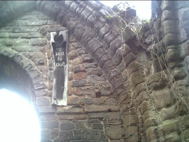
© chestertouristcom · Geograph · CC BY-SA 2.0
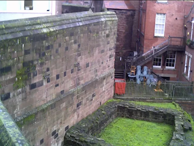
© chestertouristcom · Geograph · CC BY-SA 2.0
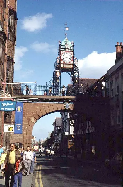
© Frank Airey · Geograph · CC BY-SA 2.0
Images © their respective photographers, licensed under CC BY-SA 2.0 and reused here with attribution. Photographs depict listed buildings, churches and monuments near this settlement and may show neighbouring villages.
Data derived from the Open Domesday project (opendomesday.org), based on the Domesday Book dataset compiled by Professor J.J.N. Palmer and team. The Domesday Book (1086) is in the public domain.
Found an inaccuracy? [email protected]