Nether Timble in the Domesday Book (1086)
The settlement of Nether Timble is recorded in William I’s Domesday survey of 1086, entered under the hundred of Skyrack in Yorkshire.
Other Settlements in Skyrack
- Adel
- Allerton [Bywater]
- Alwoodley
- Arthington
- Austhorpe
- Baildon
- Bardsey
- Barwick [in Elmet]
- Bichertun
- Bicherun
- Bingley
- Birkby [Hill]
- Bramhope
- Burden [Head]
The Meaning of the Name
The origin of the name Nether Timble is not securely established from its modern form alone; like many settlement names in the North it likely combines an Old English or Old Norse personal name with a landscape term.
Remarkably, the name has changed little since 1086, when the Domesday scribes wrote it as Nether Timble.
Listed Buildings Near Nether Timble
Historic England records 13 listed buildings within about a mile of Nether Timble. Listing protects structures of special architectural or historic interest, graded I (exceptional), II* (particularly important) and II.
Grade I
- Swinsty Hall - 1.05 km
Grade II
- Nether Timble - 0.32 km
- Bride Cross Farmhouse and barn - 0.51 km
- Plumtree Farmhouse - 0.75 km
- K6 telephone kiosk - 0.75 km
- Snowden View and Low House - 0.76 km
- Timble Inn - 0.76 km
- Well Cover Approximately 20 Metres West of Plumtree Farmhouse - 0.8 km
- Barn Approximately 10 Metres East of Low Snowden - 0.95 km
- Low Snowden and Attached Outbuilding - 0.96 km
- Low Hall Farmhouse and Attached Barn and Byre Range - 1.03 km
- Buryemwick - 1.12 km
- Folly Hall - 1.14 km
Scheduled Monuments Near Nether Timble
Scheduled monuments are nationally important archaeological sites given legal protection. 15 lie within roughly a mile of Nether Timble:
- Cup marked rock near gate in enclosed pasture on Snowden Carr, 460m south west of Washburn Farm - 1.31 km
- Cup, ring and groove marked rock in enclosed pasture on Snowden Carr, 500m south east of Crag House - 1.33 km
- Cup, ring and groove marked rock near gate in enclosed pasture on Snowden Carr, 350m south of Low Hill Farm - 1.33 km
- Cup, ring and groove marked rock, 400m west of Carr Farm - 1.35 km
- Three carved fragments of gritstone outcrop in enclosed pasture on Snowden Carr, 500m south west of Washburn Farm - 1.36 km
- Rock with one or two cup marks near derelict walling below outcrop in enclosed pasture on Snowden Carr, 350m west of Carr Farm - 1.36 km
- Carved rock below Snowden Crags on Snowden Carr, 100m south of Crag House - 1.4 km
- Cairnfield, enclosures, boulder walling, hollow way and carved rocks towards edge of Snowden Carr centred at 370m south east of Crag House - 1.42 km
- Rock with cup marks enclosed by grooves at north east end of ridge, south of Snowden Beck in Ellers Wood, Dob Park, 420m north of Low Park - 1.51 km
- Rock with at least 30 cup marks and some grooves near north east end of ridge, south of Snowden Beck in Ellers Wood, Dob Park, 400m north of Low Park - 1.52 km
…and 5 more.
Nether Timble Today
Today Nether Timble lies within the administrative area of Great Timble, and the settlement recorded a population of 142 at recent figures. Nine and a half centuries separate that figure from the small rural community the Domesday survey recorded here in 1086.
Read more about modern Timble on Wikipedia .
Nearby Domesday Settlements
Other places recorded in the 1086 survey within a few miles:
Heritage Around [Nether] Timble
Photographs of churches, listed buildings and monuments in the vicinity, contributed by volunteers to the Geograph project and reused here under a Creative Commons licence.
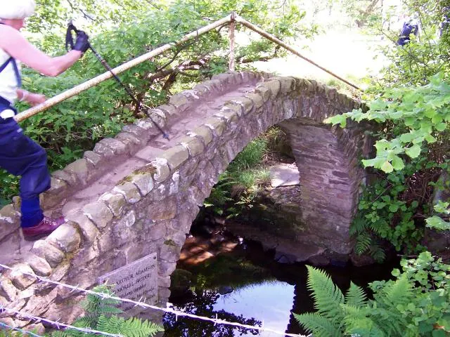
© Joe Regan · Geograph · CC BY-SA 2.0
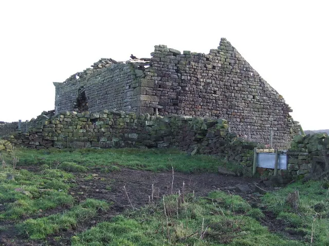
© Roger Nunn · Geograph · CC BY-SA 2.0
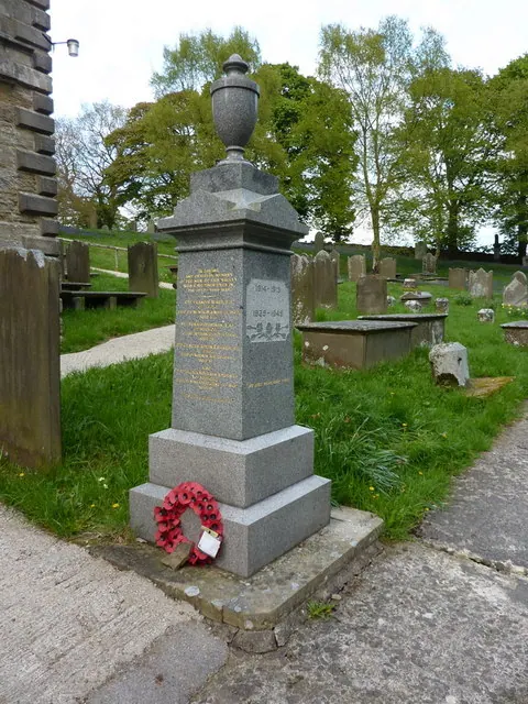
© Alexander P Kapp · Geograph · CC BY-SA 2.0
Images © their respective photographers, licensed under CC BY-SA 2.0 and reused here with attribution. Photographs depict listed buildings, churches and monuments near this settlement and may show neighbouring villages.
Data derived from the Open Domesday project (opendomesday.org), based on the Domesday Book dataset compiled by Professor J.J.N. Palmer and team. The Domesday Book (1086) is in the public domain.
Found an inaccuracy? [email protected]