Nether Tabley in the Domesday Book (1086)
Nether Tabley is named in the Domesday Book, compiled by Norman commissioners in 1086, entered under the hundred of Bucklow in Cheshire.
Other Settlements in Bucklow
- Appleton
- Ashley
- Aston [by Budworth]
- Aston [by Sutton]
- Bartington
- Clifton
- Dunham [Massey]
- Eanley
- Grappenhall
- Lymm
- Mobberley
- Northenden
- Norton
- Ollerton
The Meaning of the Name
The name Nether Tabley is of Anglo-Saxon origin. Its final element derives from the Old English word lēah, a woodland clearing or glade. The first element is most likely a personal name or an early descriptive term, now difficult to recover with certainty. Taken together the name probably meant something close to ‘a clearing’.
Remarkably, the name has changed little since 1086, when the Domesday scribes wrote it as Nether Tabley.
Listed Buildings Near Nether Tabley
Historic England records 15 listed buildings within about a mile of Nether Tabley. Listing protects structures of special architectural or historic interest, graded I (exceptional), II* (particularly important) and II.
Grade I
- Tabley House - 0.71 km
- Church of St Peter (At Tabley House) - 0.71 km
Grade II*
- Tabley Old Hall - 1.25 km
Grade II
- Peacock Lodge West to Tabley House, Gatepier and Railing - 0.09 km
- Peacock Lodge East to Tabley House, Gatepier and Railing - 0.1 km
- Moss Cottage - 0.43 km
- Dovecote Approximately 40 Yards North of Stable Block - 0.58 km
- Stables at Tabley House - 0.63 km
- Link Building From House to Chapel - 0.71 km
- Sundial Before Garden Front of Tabley House - 0.78 km
- Parterre Wall, Before South Front of Tabley House - 0.78 km
- Hollybush Farm - 1.0 km
- Red Lodge - 1.09 km
- Farm Building at Moat Farm - 1.15 km
- Boat House by Tabley Mere - 1.27 km
Scheduled Monuments Near Nether Tabley
Scheduled monuments are nationally important archaeological sites given legal protection. 1 lies within roughly a mile of Nether Tabley:
Nearby Domesday Settlements
Other places recorded in the 1086 survey within a few miles:
- Over Tabley - 2.0 km N
- Knutsford - 3.0 km E
- Mere - 3.0 km N
- Tatton - 3.6 km NE
- Nether and Over Peover - 4.5 km SE
- Aston by Budworth - 5.0 km W
Heritage Around [Nether] Tabley
Photographs of churches, listed buildings and monuments in the vicinity, contributed by volunteers to the Geograph project and reused here under a Creative Commons licence.
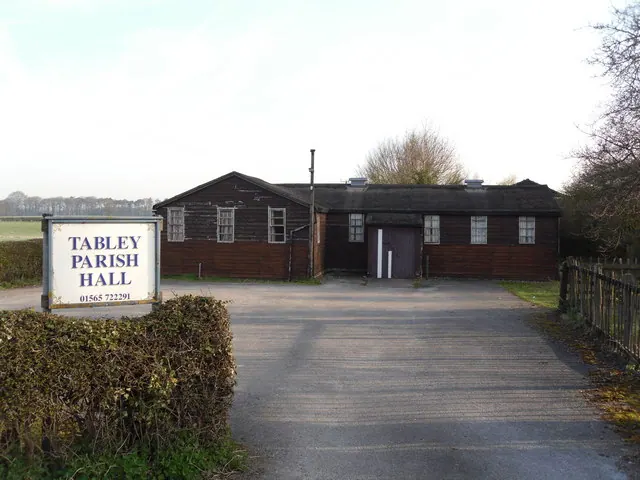
© Iain Lees · Geograph · CC BY-SA 2.0
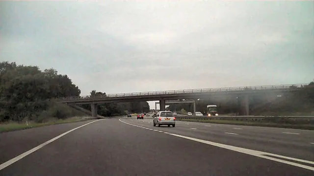
© David Dixon · Geograph · CC BY-SA 2.0
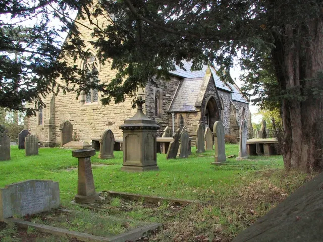
© Roger May · Geograph · CC BY-SA 2.0
Images © their respective photographers, licensed under CC BY-SA 2.0 and reused here with attribution. Photographs depict listed buildings, churches and monuments near this settlement and may show neighbouring villages.
Data derived from the Open Domesday project (opendomesday.org), based on the Domesday Book dataset compiled by Professor J.J.N. Palmer and team. The Domesday Book (1086) is in the public domain.
Found an inaccuracy? [email protected]