Nether Poppleton in the Domesday Book (1086)
The settlement of Nether Poppleton is recorded in William I’s Domesday survey of 1086, entered under the hundred of Ainsty in Yorkshire.
Other Settlements in Ainsty
- Acaster [Malbis]
- Acaster [Selby]
- Acomb
- Appleton [Roebuck]
- Askham [Bryan]
- Askham [Richard]
- Bickerton
- Bilbrough
- Bilton
- Bishopthorpe
- Bithen
- Bolton [Percy]
- Catterton
- Colton
The Meaning of the Name
The name Nether Poppleton is of Anglo-Saxon origin. Its final element derives from the Old English word tūn, a farmstead or village. The first element is most likely a personal name or an early descriptive term, now difficult to recover with certainty. Taken together the name probably meant something close to ‘a farmstead’.
Remarkably, the name has changed little since 1086, when the Domesday scribes wrote it as Nether Poppleton.
Listed Buildings Near Nether Poppleton
Historic England records 24 listed buildings within about a mile of Nether Poppleton. Listing protects structures of special architectural or historic interest, graded I (exceptional), II* (particularly important) and II.
Grade I
- Church of St Giles - 1.11 km
Grade II*
- Church of Saint Everilda - 0.46 km
- Skelton Manor - 1.15 km
Grade II
- Ice House Approximately One Hundred Metres South of Fairfield Manor - 0.45 km
- Manor Farmhouse and Gate and Railings - 0.46 km
- Garage at Manor Farm - 0.47 km
- Barn at Manor Farm - 0.51 km
- Milepost Opposite Fairfield Manor - 0.52 km
- Greystone and Attached Barn and Railings and Gates - 0.53 km
- Barn to South of Greystone - 0.55 km
- Toll Bar Cottage - 0.64 km
- Gazebo 50 Metres to North of the Fox Inn - 0.72 km
- School House - 0.77 km
- Kilburn House - 0.78 km
- Priory House and Gates and Railings - 0.78 km
- Bankside - 0.8 km
- 1, Main Street - 0.8 km
- 20, Main Street - 0.84 km
- Hall Garth - 0.85 km
- Poppleton House - 0.87 km
- Grange Farmhouse - 0.95 km
- Pyramid House - 1.05 km
- Overton Cross - 1.08 km
- Skelton Hall - 1.18 km
Scheduled Monuments Near Nether Poppleton
Scheduled monuments are nationally important archaeological sites given legal protection. 1 lies within roughly a mile of Nether Poppleton:
Nether Poppleton Today
Today Nether Poppleton lies within the administrative area of City of York, and the settlement recorded a population of 2,164 at the 2021 census. Nine and a half centuries separate that figure from the small rural community the Domesday survey recorded here in 1086.
Read more about modern Nether Poppleton on Wikipedia .
Nearby Domesday Settlements
Other places recorded in the 1086 survey within a few miles:
- Mortun - 1.0 km W
- Overton - 1.0 km W
- Skelton - 1.0 km N
- Upper Poppleton - 1.4 km SW
- Rawcliffe - 2.0 km E
- Scagglethorpe - 2.0 km W
Heritage Around [Nether] Poppleton
Photographs of churches, listed buildings and monuments in the vicinity, contributed by volunteers to the Geograph project and reused here under a Creative Commons licence.
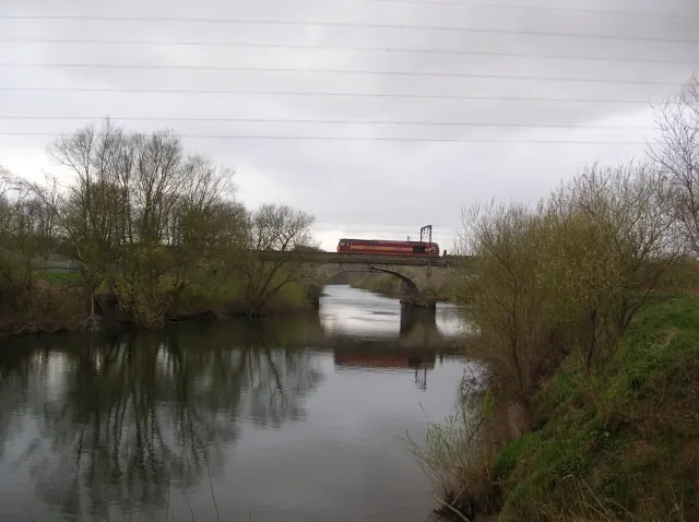
© DS Pugh · Geograph · CC BY-SA 2.0
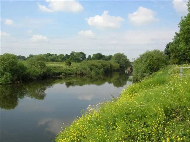
© DS Pugh · Geograph · CC BY-SA 2.0
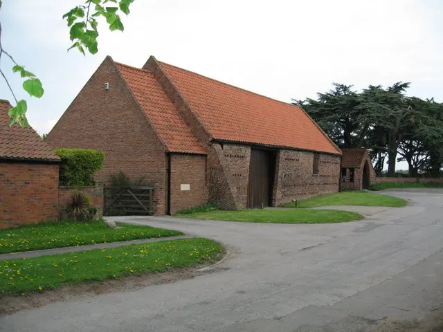
© Ken Crosby · Geograph · CC BY-SA 2.0
Images © their respective photographers, licensed under CC BY-SA 2.0 and reused here with attribution. Photographs depict listed buildings, churches and monuments near this settlement and may show neighbouring villages.
Data derived from the Open Domesday project (opendomesday.org), based on the Domesday Book dataset compiled by Professor J.J.N. Palmer and team. The Domesday Book (1086) is in the public domain.
Found an inaccuracy? [email protected]