Nether or Over Seal in the Domesday Book (1086)
The 1086 Domesday survey records the settlement of Nether or Over Seal, entered under the hundred of Goscote in LEC.
Other Settlements in Goscote
- Allexton
- Alton
- Anstey
- Appleby
- Appleby [Parva]
- Asfordby
- Ashby [-de-la-Zouch]
- Ashby [Folville]
- Barkby
- Barrow [-upon-Soar]
- Barsby
- Beeby
- Belgrave
- Birstall
The Meaning of the Name
The origin of the name Nether or Over Seal is not securely established from its modern form alone; like many settlement names in the North it likely combines an Old English or Old Norse personal name with a landscape term.
Remarkably, the name has changed little since 1086, when the Domesday scribes wrote it as Nether or Over Seal.
Listed Buildings Near Nether or Over Seal
Historic England records 11 listed buildings within about a mile of Nether or Over Seal. Listing protects structures of special architectural or historic interest, graded I (exceptional), II* (particularly important) and II.
Grade II*
- Church of St Peter - 0.63 km
- Netherseal Old Hall and attached outbuildings and garden walls - 0.69 km
- Pigeoncote at Old Hall Cottages - 0.75 km
Grade II
- Baptist Chapel - 0.35 km
- Churchyard Walls and Attached Garden Wall to Cheshire Home - 0.61 km
- Lodge to Grangewood Hall - 0.65 km
- Richard Johnson Almshouses - 0.65 km
- Small Outbuilding Opposite the Gates to Netherseal Old Hall - 0.73 km
- Mill Farmhouse - 0.83 km
- Mill at Mill Farm - 0.86 km
- Grangewood Hall and Attached Stableblock - 1.03 km
Scheduled Monuments Near Nether or Over Seal
Scheduled monuments are nationally important archaeological sites given legal protection. 1 lies within roughly a mile of Nether or Over Seal:
Nether or Over Seal Today
Today Nether or Over Seal lies within the administrative area of South Derbyshire, and the settlement recorded a population of 889 at the 2021 census. Nine and a half centuries separate that figure from the small rural community the Domesday survey recorded here in 1086.
Read more about modern Netherseal on Wikipedia .
Nearby Domesday Settlements
Other places recorded in the 1086 survey within a few miles:
- Chilcote - 2.0 km S
- Stretton -en-le-Field - 2.8 km SE
- Donisthorpe - 3.2 km E
- Linton - 3.2 km N
- Oakthorpe - 4.0 km E
- Lullington - 4.0 km W
Heritage Around [Nether or Over] Seal
Photographs of churches, listed buildings and monuments in the vicinity, contributed by volunteers to the Geograph project and reused here under a Creative Commons licence.
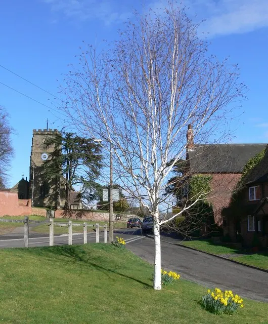
© Mat Fascione · Geograph · CC BY-SA 2.0
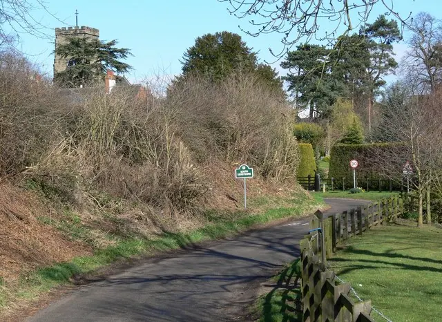
© Mat Fascione · Geograph · CC BY-SA 2.0
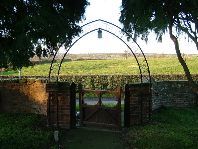
© cris sloan · Geograph · CC BY-SA 2.0
Images © their respective photographers, licensed under CC BY-SA 2.0 and reused here with attribution. Photographs depict listed buildings, churches and monuments near this settlement and may show neighbouring villages.
Data derived from the Open Domesday project (opendomesday.org), based on the Domesday Book dataset compiled by Professor J.J.N. Palmer and team. The Domesday Book (1086) is in the public domain.
Found an inaccuracy? [email protected]