Nether and Over Peover in the Domesday Book (1086)
The 1086 Domesday survey records the settlement of Nether and Over Peover, entered under the hundred of Tunendune in Cheshire.
Other Settlements in Tunendune
- Alretunstall
- Antrobus
- Baguley
- Bowdon
- Chapmonswiche
- Cogshall
- Dutton
- Hale
- Halton
- Knutsford
- Mere
- Middle Aston
- Millington
- Rostherne
The Meaning of the Name
The origin of the name Nether and Over Peover is not securely established from its modern form alone; like many settlement names in the North it likely combines an Old English or Old Norse personal name with a landscape term.
Remarkably, the name has changed little since 1086, when the Domesday scribes wrote it as Nether and Over Peover.
Listed Buildings Near Nether and Over Peover
Historic England records 16 listed buildings within about a mile of Nether and Over Peover. Listing protects structures of special architectural or historic interest, graded I (exceptional), II* (particularly important) and II.
Grade I
- Church of St Oswald - 0.4 km
Grade II
- Broom Lane Cottage - 0.1 km
- Barrows Brow Cottage and Barrows Brow Farmhouse - 0.18 km
- Smithy Green Cottage - 0.25 km
- St Oswald’s Churchyard. Sundial South of West End of Nave of St Oswald’s Church - 0.42 km
- The Bells of Peover Public House - 0.43 km
- Lychgate St Oswald’s Churchyard - 0.45 km
- School and Former Schoolmaster’s House - 0.46 km
- The Old School House - 0.47 km
- Heesom Green Farmhouse - 0.6 km
- Free Green Farmhouse - 0.69 km
- Free Green Cottage - 0.73 km
- Milbank Farmhouse - 0.85 km
- Crown Lane Farmhouse - 0.98 km
- Cheers Green Farmhouse - 0.98 km
- Barn 20 Metres West Yew Tree Farmhouse - 1.24 km
Scheduled Monuments Near Nether and Over Peover
Scheduled monuments are nationally important archaeological sites given legal protection. 1 lies within roughly a mile of Nether and Over Peover:
Nether and Over Peover Today
Today Nether and Over Peover lies within the administrative area of Peover Inferior.
Read more about modern Lower Peover on Wikipedia .
Nearby Domesday Settlements
Other places recorded in the 1086 survey within a few miles:
- Ollerton - 3.6 km NE
- Knutsford - 4.1 km N
- Nether Tabley - 4.5 km NW
- Chapmonswiche - 5.0 km E
- Lach Dennis - 5.0 km SW
- Goostrey - 5.0 km SE
Heritage Around [Nether and Over] Peover
Photographs of churches, listed buildings and monuments in the vicinity, contributed by volunteers to the Geograph project and reused here under a Creative Commons licence.
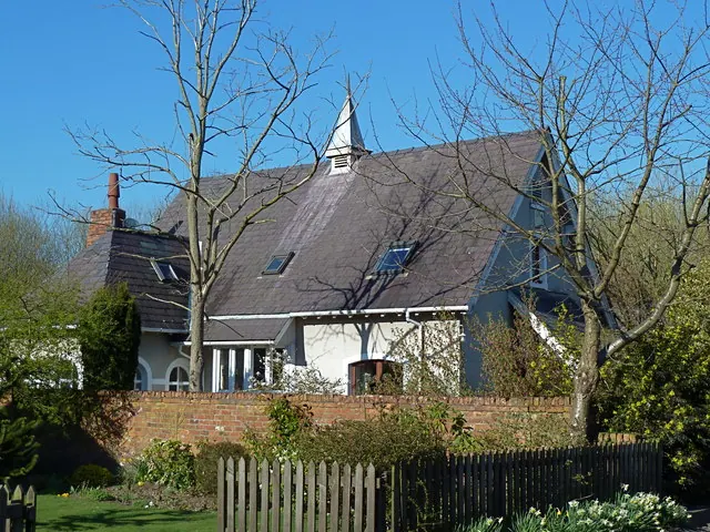
© Anthony O'Neil · Geograph · CC BY-SA 2.0
© Colin Pyle · Geograph · CC BY-SA 2.0
© Peter Whatley · Geograph · CC BY-SA 2.0
Images © their respective photographers, licensed under CC BY-SA 2.0 and reused here with attribution. Photographs depict listed buildings, churches and monuments near this settlement and may show neighbouring villages.
Data derived from the Open Domesday project (opendomesday.org), based on the Domesday Book dataset compiled by Professor J.J.N. Palmer and team. The Domesday Book (1086) is in the public domain.
Found an inaccuracy? [email protected]