Nether and Over Kellet in the Domesday Book (1086)
Nether and Over Kellet appears in the Domesday Book of 1086, entered under the hundred of Amounderness in Yorkshire.
Other Settlements in Amounderness
- Aighton
- Aldcliffe
- Aldingham
- Arkholme
- Aschebi
- Ashton [Hall]
- Ashton [on Ribble]
- Austwick
- Barbon
- Bardsea
- Bare
- Barnoldswick
- Barton
- Beetham
The Meaning of the Name
The origin of the name Nether and Over Kellet is not securely established from its modern form alone; like many settlement names in the North it likely combines an Old English or Old Norse personal name with a landscape term.
Remarkably, the name has changed little since 1086, when the Domesday scribes wrote it as Nether and Over Kellet.
Listed Buildings Near Nether and Over Kellet
Historic England records 27 listed buildings within about a mile of Nether and Over Kellet. Listing protects structures of special architectural or historic interest, graded I (exceptional), II* (particularly important) and II.
Grade II
- Yew Tree Farmhouse - 0.49 km
- Cragg House - 0.56 km
- Croft House - 0.56 km
- Wilson House, Adjoining the Rear Wing of Hogarth House - 0.62 km
- Old Hall and Nos 1 and 2 Old Hall Cottages - 0.62 km
- Hogarth Cottage and Adjoining Barn - 0.63 km
- Hogarth House - 0.64 km
- Wall From the Southern Corner of Hogarth Cottage Extending As Far As Gateway - 0.64 km
- Pair of Gatepiers and Garden Wall in Front of Hogarth House - 0.64 km
- Old Hall Farmhouse and Barn Adjoining to the Left - 0.66 km
- Well House - 0.67 km
- Barn to the West of Old Hall Farmhouse, on North-east Corner of Village Green - 0.69 km
- Village Cross, on Village Green - 0.73 km
- Hall Garth - 0.75 km
- Shenstone House and Associated Stable, Pig Sty and Cart Shed - 0.75 km
- Beech House - 0.77 km
- Gates and Gate Piers to Hall Garth - 0.77 km
- The Gables - 0.8 km
- Eagle’s Head - 0.81 km
- Lamond Cottage - 0.83 km
- Brookside and Brookside Cottage - 0.86 km
- Hall Farmhouse - 0.92 km
- Kirkhouse - 0.96 km
- Greenbank Farmhouse - 0.97 km
…and 3 more listed structures in the area.
Nether and Over Kellet Today
Today Nether and Over Kellet lies within the administrative area of Lancaster, and the settlement recorded a population of 836 at the 2021 census. Nine and a half centuries separate that figure from the small rural community the Domesday survey recorded here in 1086.
Read more about modern Over Kellet on Wikipedia .
Nearby Domesday Settlements
Other places recorded in the 1086 survey within a few miles:
- Carnforth - 3.0 km W
- Borwick - 3.0 km N
- Priest Hutton - 3.2 km N
- Warton - 3.6 km NW
- Bolton le Sands - 5.0 km SW
- Stapleton Terne - 5.0 km SW
Heritage Around [Nether and Over] Kellet
Photographs of churches, listed buildings and monuments in the vicinity, contributed by volunteers to the Geograph project and reused here under a Creative Commons licence.
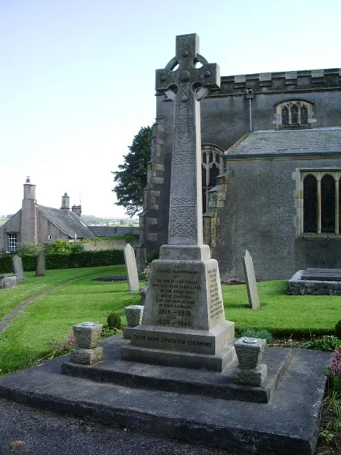
© Alexander P Kapp · Geograph · CC BY-SA 2.0
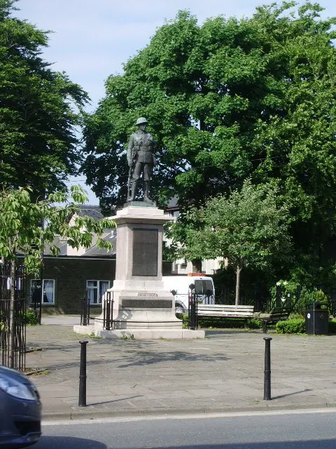
© Alexander P Kapp · Geograph · CC BY-SA 2.0
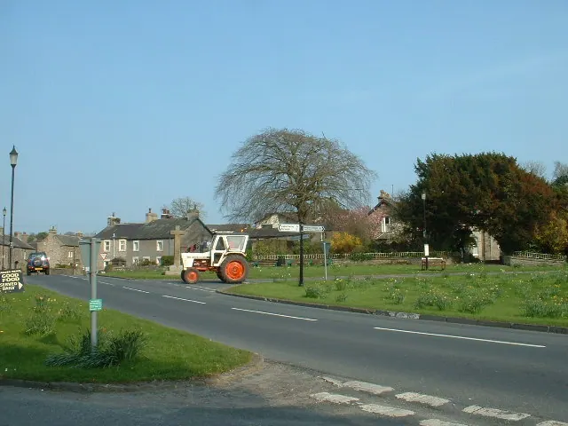
© David Medcalf · Geograph · CC BY-SA 2.0
Images © their respective photographers, licensed under CC BY-SA 2.0 and reused here with attribution. Photographs depict listed buildings, churches and monuments near this settlement and may show neighbouring villages.
Data derived from the Open Domesday project (opendomesday.org), based on the Domesday Book dataset compiled by Professor J.J.N. Palmer and team. The Domesday Book (1086) is in the public domain.
Found an inaccuracy? [email protected]