Nether and Over Haddon in the Domesday Book (1086)
Nether and Over Haddon is named in the Domesday Book, compiled by Norman commissioners in 1086, entered under the hundred of Blackwell in Derbyshire.
Other Settlements in Blackwell
- Abney
- Ashford [-in-the-Water]
- Aston
- Bakewell
- Bamford
- Baslow
- Beeley
- Birchills
- Birchover
- Blackwell
- Bradwell
- Bubnell
- Burley
- Burton
The Meaning of the Name
The name Nether and Over Haddon is of Anglo-Saxon origin. Its final element derives from the Old English word dūn, a hill. The first element is most likely a personal name or an early descriptive term, now difficult to recover with certainty. Taken together the name probably meant something close to ‘a hill’.
Remarkably, the name has changed little since 1086, when the Domesday scribes wrote it as Nether and Over Haddon.
Listed Buildings Near Nether and Over Haddon
Historic England records 11 listed buildings within about a mile of Nether and Over Haddon. Listing protects structures of special architectural or historic interest, graded I (exceptional), II* (particularly important) and II.
Grade II
- Vernon Cottage - 0.09 km
- Manor House Farmhouse - 0.1 km
- Mona View Farmhouse and Attached Outbuildings - 0.2 km
- K6 Telephone Kiosk - 0.21 km
- Church of St Anne - 0.26 km
- Sough Mill and Adjacent Sluice Gate - 0.46 km
- Footbridge 20 Metres South of Lathkill Lodge, Over River Lathkill - 0.47 km
- Meadow Place Grange Farmhouse - 0.81 km
- Conksbury Hall - 0.93 km
- Conksbury Bridge - 1.03 km
- Conksbury Farmhouse - 1.1 km
Scheduled Monuments Near Nether and Over Haddon
Scheduled monuments are nationally important archaeological sites given legal protection. 7 lie within roughly a mile of Nether and Over Haddon:
- Grindlow bowl barrow - 0.62 km
- Conksbury deserted medieval settlement - 1.01 km
- Burton Moor bowl barrow - 1.02 km
- Bowl barrow on Haddon Fields - 1.16 km
- Meadow Place bowl barrow - 1.33 km
- Bowl barrow on Haddon Fields - 1.42 km
- Lathkill Dale and Mandale mines and soughs - 1.54 km
Nether and Over Haddon Today
Today Nether and Over Haddon lies within the administrative area of Derbyshire Dales, and the settlement recorded a population of 249 at the 2021 census. Nine and a half centuries separate that figure from the small rural community the Domesday survey recorded here in 1086.
Read more about modern Over Haddon on Wikipedia .
Nearby Domesday Settlements
Other places recorded in the 1086 survey within a few miles:
Heritage Around [Nether and Over] Haddon
Photographs of churches, listed buildings and monuments in the vicinity, contributed by volunteers to the Geograph project and reused here under a Creative Commons licence.
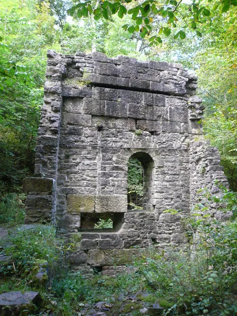
© Alan Heardman · Geograph · CC BY-SA 2.0
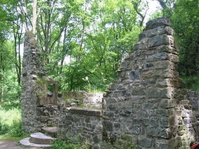
© Dennis Thorley · Geograph · CC BY-SA 2.0
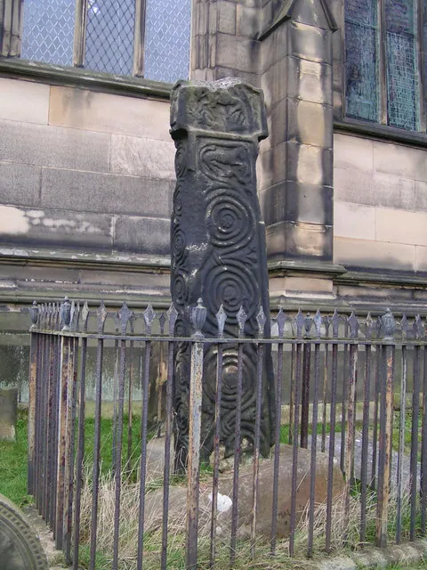
© Dave Dunford · Geograph · CC BY-SA 2.0
Images © their respective photographers, licensed under CC BY-SA 2.0 and reused here with attribution. Photographs depict listed buildings, churches and monuments near this settlement and may show neighbouring villages.
Data derived from the Open Domesday project (opendomesday.org), based on the Domesday Book dataset compiled by Professor J.J.N. Palmer and team. The Domesday Book (1086) is in the public domain.
Found an inaccuracy? [email protected]