Nesfield in the Domesday Book (1086)
The settlement of Nesfield is recorded in William I’s Domesday survey of 1086, entered under the hundred of Burghshire in Yorkshire.
Other Settlements in Burghshire
- Addlethorpe
- Aismunderby
- Aldfield
- Allerton [Mauleverer]
- Arkendale
- Askwith
- Azerley
- Barrowby [Grange]
- Beckwith [House]
- Besthaim
- Bestham
- Bewerley
- Bilton
- Birstwith
The Meaning of the Name
The name Nesfield is of Anglo-Saxon origin. Its final element derives from the Old English word feld, open country. The first element is most likely a personal name or an early descriptive term, now difficult to recover with certainty. Taken together the name probably meant something close to ‘a open land’.
Remarkably, the name has changed little since 1086, when the Domesday scribes wrote it as Nesfield.
Listed Buildings Near Nesfield
Historic England records 16 listed buildings within about a mile of Nesfield. Listing protects structures of special architectural or historic interest, graded I (exceptional), II* (particularly important) and II.
Grade I
- Church of St Peter - 1.1 km
Grade II
- Stocks Approximately 50 Metres South of Manor House - 0.25 km
- Pump Approximately 5 Metres South of the Manor House - 0.27 km
- Nesfield Manor House - 0.27 km
- Barn Opposite Owl Cottage - 0.41 km
- High Austby Cottage - 0.44 km
- 3, 5, 7 and 9, Old Lane - 0.5 km
- Crowtrees Cottage and Robinsons Farm - 0.52 km
- No. 23, 25, 27 and 29 Low Mill Lane - 0.52 km
- Milestone 150 Metres South East of Low Holme House - 0.84 km
- Holme House - 0.84 km
- The Old Rectory - 0.99 km
- Barn 10 Metres to the North of the Old Rectory - 1.0 km
- Hallcroft Hall - 1.07 km
- Footbridge Leading to St Peter’s Church - 1.08 km
- Ashgate House - 1.14 km
Scheduled Monuments Near Nesfield
Scheduled monuments are nationally important archaeological sites given legal protection. 3 lie within roughly a mile of Nesfield:
- Anglo-Saxon cemetery and medieval manorial centre including fishponds and part of the open field system adjacent to St Peter’s Church - 1.08 km
- Churchyard cross at the Church of St Peter - 1.1 km
- Medieval settlement and part of the open field system immediately south of Myddleton Lodge - 1.5 km
Nesfield Today
Today Nesfield lies within the administrative area of Nesfield with Langbar.
Read more about modern Nesfield on Wikipedia .
Nearby Domesday Settlements
Other places recorded in the 1086 survey within a few miles:
Heritage Around Nesfield
Photographs of churches, listed buildings and monuments in the vicinity, contributed by volunteers to the Geograph project and reused here under a Creative Commons licence.
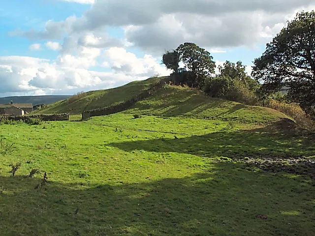
© David Spencer · Geograph · CC BY-SA 2.0
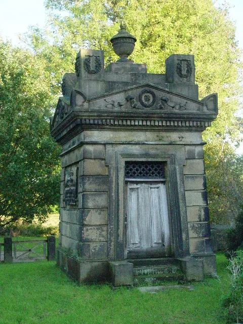
© Malcolm Street · Geograph · CC BY-SA 2.0
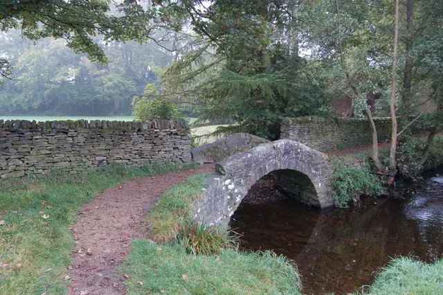
© John Sparshatt · Geograph · CC BY-SA 2.0
Images © their respective photographers, licensed under CC BY-SA 2.0 and reused here with attribution. Photographs depict listed buildings, churches and monuments near this settlement and may show neighbouring villages.
Data derived from the Open Domesday project (opendomesday.org), based on the Domesday Book dataset compiled by Professor J.J.N. Palmer and team. The Domesday Book (1086) is in the public domain.
Found an inaccuracy? [email protected]