Nantwich in the Domesday Book (1086)
Nantwich is named in the Domesday Book, compiled by Norman commissioners in 1086, entered under the hundred of Warmundestrou in Cheshire. The survey assessed Nantwich at 60.8 carucates of taxable land.
At the time of the survey, Nantwich supported a recorded population of 224 villagers, 81 smallholders, 15 slaves, working 231 ploughs between them.
The survey records Nantwich’s value at 7d in 1086. No pre-Conquest figure survives – not unusual in the North, where records were disrupted by the Harrying and by the patchy coverage of the survey.
The survey lists 2 manors at Nantwich under different lords. Splitting a single settlement between multiple tenants was common across the North – Saxon estates broken up and handed to William’s followers after 1066.
Resources Recorded at Nantwich (1086)
- Mills: 8 mills (valued at 5.4 shillings)
- Woodland: 6 * 3 None
Other Settlements in Warmundestrou
- Acton
- Aston
- Aston [juxta Mondrem]
- Audlem
- Austerson
- Baddiley
- Barthomley
- Basford
- Batherton
- Blakenhall
- Broomhall
- Buerton
- Cholmondeston
- Chorley
The Meaning of the Name
The name Nantwich is of Anglo-Saxon origin. Its final element derives from the Old English word wīc, a dwelling or (in Cheshire) a salt-working settlement. The first element is most likely a personal name or an early descriptive term, now difficult to recover with certainty. Taken together the name probably meant something close to ‘a salt town’.
Remarkably, the name has changed little since 1086, when the Domesday scribes wrote it as Nantwich.
Listed Buildings Near Nantwich
Historic England records 128 listed buildings within about a mile of Nantwich. Listing protects structures of special architectural or historic interest, graded I (exceptional), II* (particularly important) and II.
Grade I
- Churche’s Mansion - 0.31 km
Grade II*
- Wright’s Almshouses - 0.15 km
- Forecourt Wall and Gateway of Wright’s Almshouses - 0.18 km
- Dysart Buildings - 0.27 km
Grade II
- Crewe’s Almshouses - 0.15 km
- The Rookery - 0.27 km
- 122 and 124, Hospital Street - 0.3 km
- 130 and 132, Hospital Street - 0.3 km
- 136 and 138, Hospital Street - 0.3 km
- 144, Hospital Street - 0.3 km
- 134, Hospital Street - 0.3 km
- 116 and 118, Hospital Street - 0.3 km
- 126, Hospital Street - 0.3 km
- 140 and 142, Hospital Street - 0.3 km
- 146, Hospital Street - 0.3 km
- Old School at Rear of Number 65 (Sweetbriar Hall) - 0.31 km
- Whitewell House - 0.31 km
- 148, Hospital Street - 0.31 km
- 69 and 71, Hospital Street - 0.32 km
- 94 and 96, Hospital Street - 0.32 km
- Nuthurst School - 0.32 km
- Congregational Chapel - 0.32 km
- Sweetbriar Hall Wayside - 0.33 km
- Methodist Church - 0.35 km
…and 104 more listed structures in the area.
Nantwich Today
Today Nantwich lies within the administrative area of Cheshire East, and the settlement recorded a population of 14,051 at the 2021 census. Nine and a half centuries separate that figure from the small rural community the Domesday survey recorded here in 1086.
Read more about modern Nantwich on Wikipedia .
Nearby Domesday Settlements
Other places recorded in the 1086 survey within a few miles:
Heritage Around Nantwich
Photographs of churches, listed buildings and monuments in the vicinity, contributed by volunteers to the Geograph project and reused here under a Creative Commons licence.
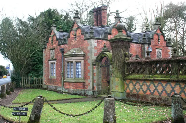
© Espresso Addict · Geograph · CC BY-SA 2.0
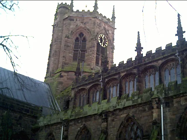
© chestertouristcom · Geograph · CC BY-SA 2.0
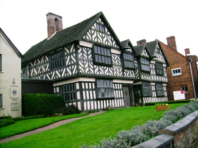
© Peter Bruffell · Geograph · CC BY-SA 2.0
Images © their respective photographers, licensed under CC BY-SA 2.0 and reused here with attribution. Photographs depict listed buildings, churches and monuments near this settlement and may show neighbouring villages.
Data derived from the Open Domesday project (opendomesday.org), based on the Domesday Book dataset compiled by Professor J.J.N. Palmer and team. The Domesday Book (1086) is in the public domain.
Found an inaccuracy? [email protected]